Home / Arkansas / Texarkana, El Dorado & the Timberlands / Moro Bay State Park
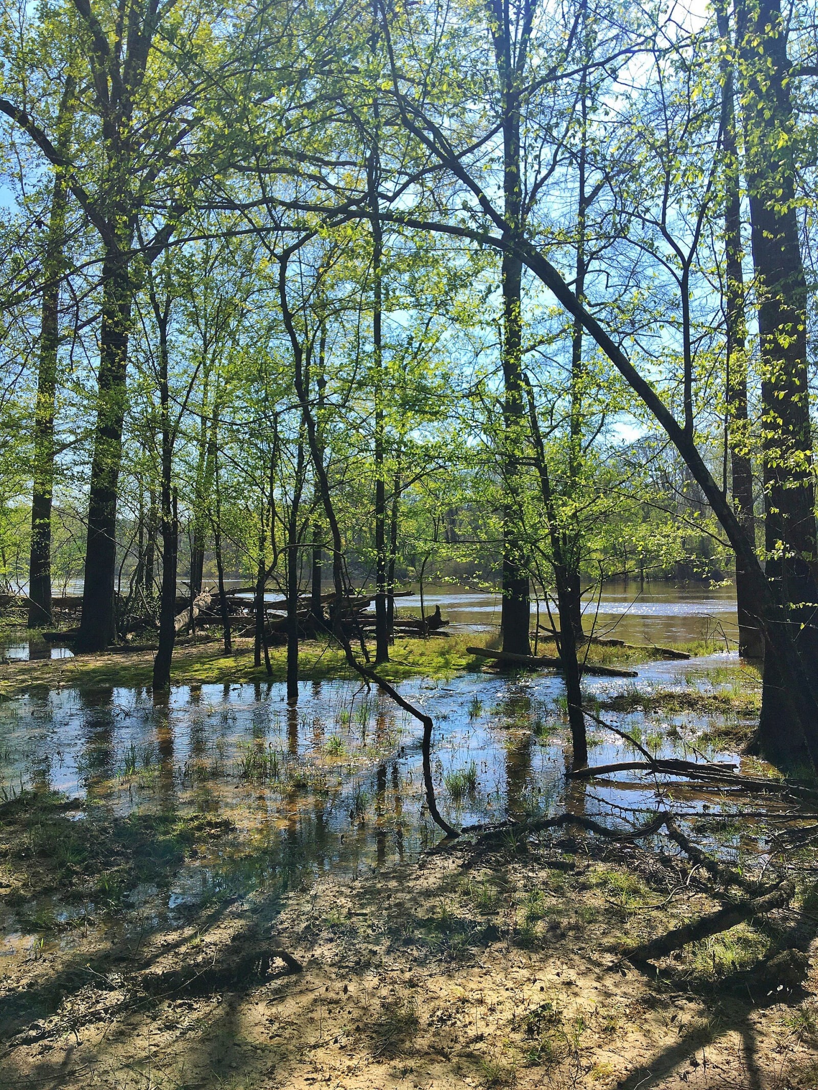
Flooded bottomland forest in spring leaf beside the Ouachita River near Moro Bay State Park, with light on shallow water among the tree trunks.Profmarv / CC0 via Wikimedia Commons
🏕️Recreational

Moro Bay State Park

Part ofTexarkana, El Dorado & the Timberlands

A 117-acre park where Moro Bay and Raymond Lake meet the Ouachita River, home to the old Moro Bay Ferry, a cable ferry that ran from 1828 until bridges replaced it in 1992.

⏱
Duration
Two hours to a weekend.
🎟
Admission
No day-use fee listed by the state parks page; camping, cabins and boat slips are charged.
📅
Best Season
Year round. Visitor center open daily 8 a.m. to 5 p.m. March to November, shorter weekend hours December to February (state parks page, November 2026). Fishing is popular all year.

The Story

The Hunter-Dunbar expedition's record for November 18, 1804, describes "Bay Morau" as a large inlet on the Ouachita River that swells into a considerable lake in a flood. Before railroads the river was the region's main road, and cotton barges floated down it toward New Orleans. Where the bay meets the river, a ferry started in 1828, eight years before statehood. It was called Burk's Ferry because William Burk, his family and his enslaved people built and ran it, on a cable, charging twelve and a half cents a crossing.

Ownership changed and the design was modified until 1948, and the ferry stopped for about eighteen years before the state restored it as an extension of Highway 15. In 1992 two bridges made it unnecessary, and the Highway Department gave the ferry to the parks department. It is now an exhibit that visitors can walk onto, and its helm is in the visitor center. In the early 1970s Jimmy Gates leased the 117 acres to the state, then tried to end the lease, and a court settlement gave the state ownership.

Today the marina rents slips and boats and is described as the only place on the Ouachita River in Arkansas that sells gas. The park has campsites, picnic sites, trails and five cabins overlooking the bay. It marks the junction of Bradley, Calhoun and Union counties. Alligators live in the water but are seldom seen, along with otters, mink and many birds.

Visitor Info

⏱
Time Needed
Two hours to a weekend.
🎟
Admission
No day-use fee listed by the state parks page; camping, cabins and boat slips are charged.
📅
Best Season
Year round. Visitor center open daily 8 a.m. to 5 p.m. March to November, shorter weekend hours December to February (state parks page, November 2026). Fishing is popular all year.
🛣️
Highway
AR 600

On the Map

Nearby

The closest stops worth working into your route

historical19 mi away
El Dorado Commercial Historic District
The courthouse square and brick blocks of a town that jumped from 4,000 people to nearly 30,000 after the 1921 Busey well, listed on the National Register in 2003.
industrial21 mi away
Arkansas Museum of Natural Resources
A free state museum on the Smackover field, where a 112-foot derrick, a rebuilt 1920s boomtown street and working pumps tell how oil and bromine remade south Arkansas.
historical35 mi away
McCollum-Chidester House Museum
An 1847 Greek Revival house in Camden that served as a stagecoach headquarters and, in April 1864, as General Steele's headquarters, with bullet holes still visible upstairs.
historical44 mi away
Poison Spring Battleground State Park
An 85-acre roadside battlefield west of Camden, where Confederates routed a Union foraging column on April 18, 1864, and many Black soldiers of the 1st Kansas Colored Infantry were killed after surrendering.
natural48 mi away
Logoly State Park
Arkansas's first environmental education state park, built on the Magnesia Springs resort and a Boy Scout camp, with about 200 acres of mature forest kept as a natural area.
recreational51 mi away
White Oak Lake State Park
A 725-acre park on the lower of two 1961 lakes, where white sand marks an ancient shoreline and the visitor center carries a Poison Spring display eight miles from the battlefield.