Home / Arkansas / Texarkana, El Dorado & the Timberlands / Logoly State Park
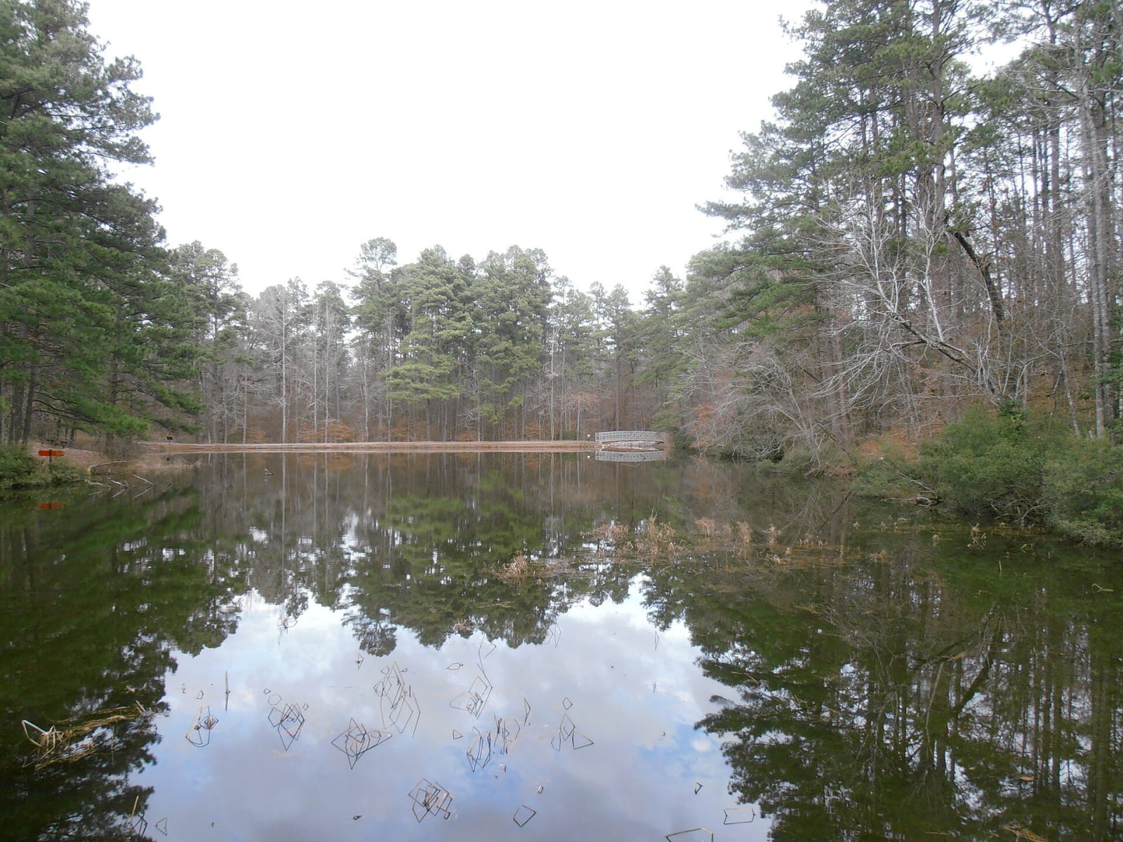
A still pond reflecting tall pines and bare hardwoods at Logoly State Park, with a small white footbridge across the far end.Robert Nunnally / CC BY 2.0 via Wikimedia Commons
🌲Natural

Logoly State Park

Part ofTexarkana, El Dorado & the Timberlands

Arkansas's first environmental education state park, built on the Magnesia Springs resort and a Boy Scout camp, with about 200 acres of mature forest kept as a natural area.

⏱
Duration
Two to four hours.
🎟
Admission
No day-use fee listed by the state parks page.
📅
Best Season
Year round. Visitor center open daily 8 a.m. to 5 p.m. March to November, shorter weekend hours December to February; the gates close one hour after sunset (state parks page, November 2026). Spring wildflowers and fall color are best.

The Story

Native Americans lived here, and artifacts have turned up along the trails. By the late 1800s settlers came for Magnesia Springs, a group of springs thought to cure illness. The Encyclopedia of Arkansas says it is believed that Caddo people first introduced settlers to the springs. A small community followed, with two hotels, the Duke and the Mendenhall, and the Cotton Belt railroad stopped nearby to unload passengers. Methodists held camp meetings here from 1888 and into the 1930s.

By 1940 three families owned the land, the Longinos, Goodes and Lyles, and leased it to the Desoto Council of the Boy Scouts, who named it Camp Logoly from the first two letters of each name. The scouts moved to Camp Desoto near El Dorado in 1967, and every structure they had built was removed, leaving a few concrete slabs, outdoor toilets and a water pump. Hugh Longino then asked the state about a park. The Nature Conservancy bought the land in 1974 to hold it until the state could pay, and the legislature funded the purchase in 1975 and 1977. Logoly's planners met at the Columbia County courthouse in Magnolia.

The park opened on May 19, 1978, the state's first environmental education park and only the third of its kind in the nation. About 200 acres is a natural area protecting pine, oak, hickory and beech forest and the mineral springs. There is a visitor center with exhibits and a classroom, a bathhouse, a pavilion and trails, and interpreters lead programs and school field trips.

Visitor Info

⏱
Time Needed
Two to four hours.
🎟
Admission
No day-use fee listed by the state parks page.
📅
Best Season
Year round. Visitor center open daily 8 a.m. to 5 p.m. March to November, shorter weekend hours December to February; the gates close one hour after sunset (state parks page, November 2026). Spring wildflowers and fall color are best.
🛣️
Highway
Columbia Road 459

On the Map

Nearby

The closest stops worth working into your route

architectural6.4 mi away
Magnolia Square and the Columbia County Courthouse
The 1906 courthouse and square at the center of a town founded in 1853, where oil came in 1922, Southern Arkansas University grew from a farm school, and Jordan Jameson was burned to death in 1919.
historical23 mi away
Poison Spring Battleground State Park
An 85-acre roadside battlefield west of Camden, where Confederates routed a Union foraging column on April 18, 1864, and many Black soldiers of the 1st Kansas Colored Infantry were killed after surrendering.
recreational25 mi away
White Oak Lake State Park
A 725-acre park on the lower of two 1961 lakes, where white sand marks an ancient shoreline and the visitor center carries a Poison Spring display eight miles from the battlefield.
historical26 mi away
McCollum-Chidester House Museum
An 1847 Greek Revival house in Camden that served as a stagecoach headquarters and, in April 1864, as General Steele's headquarters, with bullet holes still visible upstairs.
industrial27 mi away
Arkansas Museum of Natural Resources
A free state museum on the Smackover field, where a 112-foot derrick, a rebuilt 1920s boomtown street and working pumps tell how oil and bromine remade south Arkansas.
historical31 mi away
El Dorado Commercial Historic District
The courthouse square and brick blocks of a town that jumped from 4,000 people to nearly 30,000 after the 1921 Busey well, listed on the National Register in 2003.