Home / Idaho / The Payette River Mountains / McCall Smokejumper Base
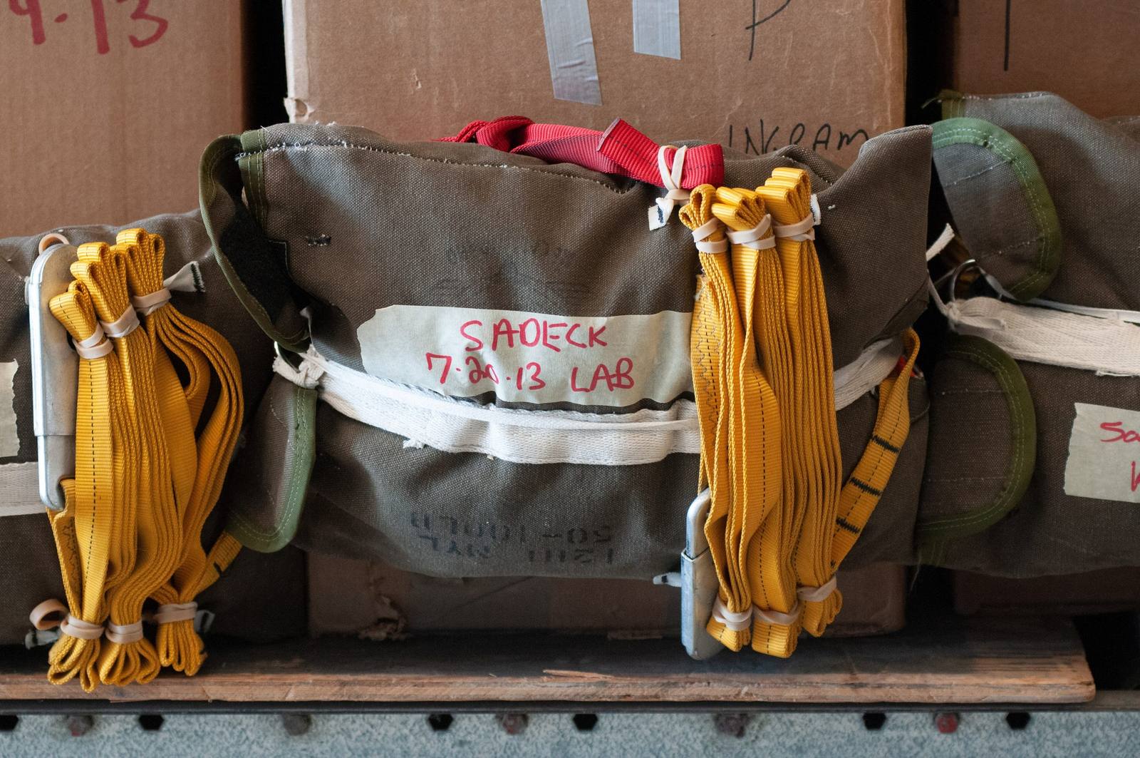
Canvas cargo bags with yellow straps packed for air drop at the McCall smokejumper baseU.S. Forest Service / public domain via Wikimedia Commons
🏛️Historical

McCall Smokejumper Base

Part ofThe Payette River Mountains

Where conscientious objectors in the Second World War parachuted onto forest fires, and were shunned in camp for it.

⏱
Duration
A short stop; the town and Payette Lake are minutes away.
📅
Best Season
Summer, when the crews are on and the fires are burning.

The Story

Smokejumping was invented in the northern Rockies. The first fire jumps were made in July 1940 onto a fire in the Nez Perce National Forest, and in 1943 the Forest Service opened a base at McCall to cover the rough, roadless country of central Idaho. The timing mattered. The war had taken the young men who fought fires, and the service turned to men the rest of the country wanted little to do with: conscientious objectors.

They came through Civilian Public Service, the program that let men whose faith forbade them to fight do civilian work of national importance instead, without pay. Many were Mennonites, Brethren and Quakers. About seventy trained as smokejumpers in the first spring and were divided among bases at Missoula, Cave Junction in Oregon, and McCall, and more followed. They jumped onto fires across the Idaho backcountry, worked on trails and roads between jumps, and lived with open contempt in camp; one of the first smokejumpers remembered men arguing that anyone who ate at the same table as a conscientious objector was unpatriotic. As late as 1995, a history of smokejumping read aloud to a national reunion of jumpers did not mention them.

The base still operates, at the McCall airport on the south edge of town, sending jumpers by aircraft to fires across the West each summer. The town's old lumber-mill streets and the shore of Payette Lake are a few minutes north.

Visitor Info

⏱
Time Needed
A short stop; the town and Payette Lake are minutes away.
📅
Best Season
Summer, when the crews are on and the fires are burning.
🛣️
Highway
SR-55

On the Map

Nearby

The closest stops worth working into your route

natural38 mi away
Heaven's Gate Lookout
A staffed fire lookout at 8,429 feet on the rim of North America's deepest river gorge, nearly reachable by car.
recreational56 mi away
Banks and the North Fork Payette
Where the Payette's two forks meet, below fifteen miles of continuous Class V whitewater beside the highway.
cultural62 mi away
Weiser
Every June the fiddlers come to a farm town on the Snake, and the campground plays all night.
historical62 mi away
White Bird Battlefield
Six Nimiipuu men rode out under a white flag. A shot came from the soldiers' side, and the Nez Perce War began.
natural63 mi away
Kirkham Hot Springs
Hot water pours off a ledge into pools at the edge of the South Fork Payette, a staircase down from the highway.
cultural63 mi away
Joseph and the Bronze Foundries
A ranch town under the Wallowas that became a bronze-casting center after local sculptors talked a resident into opening a foundry in 1982, with seven monumental bronzes now on Main Street.

Historical markers nearby

Roadside plaques and monuments within a short detour

Marker7.3 mi away
Packer John's Cabin
Marker20 mi away
Old Railroads
Marker25 mi away
Mesa Orchards
Marker26 mi away
Long Valley Ambush