Home / Louisiana / Natchitoches, the Cane River & Kisatchie / Los Adaes State Historic Site
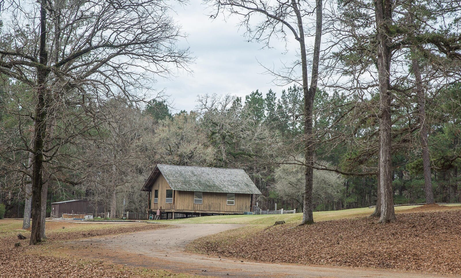
A plain wooden building with a shingled roof stands in a clearing among bare winter oaks and pines at Los Adaes.René Gomez / CC BY-SA 4.0 via Wikimedia Commons
🏛️Historical

Los Adaes State Historic Site

Part ofNatchitoches, the Cane River & Kisatchie

The Spanish presidio that was the capital of Texas from 1729 to 1770, some 15 miles from French Natchitoches, now an archaeological site where Native pottery is the most abundant find.

⏱
Duration
One hour.
🎟
Admission
Free (Louisiana State Parks, 2026).
📅
Best Season
Operated by the Cane River National Heritage Area, which lists Wednesday to Saturday, noon to 4 p.m. (2026); the state page lists closure dates and 64 Parishes says visits are by appointment, so call 318-356-5555 first.

The Story

Before the presidio there was a mission among the Adai. Spain founded San Miguel de Linares de los Adaes in 1717 for a people of the Caddo Confederacy whose name comes from the Caddo word hadai, brushwood; the state-recognized Adai Caddo Indian Nation is based in nearby Robeline. French forces attacked the mission in 1719. In 1721 the Marqués de Aguayo returned and built the presidio, Nuestra Señora del Pilar de los Adaes, a hexagonal stockade. From 1729 to 1770 it was the capital of the Spanish province of Texas, some 15 miles from the French fort at Natchitoches.

Supplies came from 800 miles away, and crop failures and rain kept the garrison short of food. Spain forbade trade with the French, yet an illicit trade with Natchitoches grew because, Louisiana State Parks says, the people of Los Adaes would otherwise have starved. Archaeologists recovered more than thirty thousand fragments of Native American pottery, French pottery as numerous as Mexican-made ware, and mostly French gunflints. The capital moved to San Antonio in 1770 and Los Adaes was abandoned in 1773. Descendants, called Adaeseños, live in Texas and Louisiana today.

Los Adaes also lay on a road to freedom. The National Park Service lists it in the Network to Freedom, noting that at least 30 enslaved people who left Cane River plantations in the 1804 insurrection crossed Magnolia land on their way here, seeking freedom in Spanish Texas. The site is at 6354 Highway 485 in Robeline.

Visitor Info

⏱
Time Needed
One hour.
🎟
Admission
Free (Louisiana State Parks, 2026).
📅
Best Season
Operated by the Cane River National Heritage Area, which lists Wednesday to Saturday, noon to 4 p.m. (2026); the state page lists closure dates and 64 Parishes says visits are by appointment, so call 318-356-5555 first.
🛣️
Highway
LA 485

On the Map

Nearby

The closest stops worth working into your route

historical9.5 mi away
Fort Jesup State Historic Site
The 1822 army post Zachary Taylor built to hold the Neutral Ground between Louisiana and Spanish Texas, with the one surviving kitchen, a reconstructed officers' quarters and a museum open Friday to Sunday.
architectural12 mi away
Natchitoches Historic District
The riverfront blocks of the oldest permanent settlement in the Louisiana Purchase, founded in 1714 at a Natchitoches village, with a brick-paved Front Street, Cane River frontage and the largest bousillage construction in the South.
historical12 mi away
Fort St. Jean Baptiste State Historic Site
A reconstruction of the 1716 French fort beside the Natchitoches village, with a palisade of nearly 2,000 pine logs, a chapel and storeroom, and living-history programs, open Wednesday to Sunday.
historical17 mi away
Cane River Creole National Historical Park
Oakland and Magnolia, two Cane River cotton plantations kept as they stood, told through the enslaved families who worked them, the 1864 and 1804 freedom seekers and the tenant farmers who stayed into the 1960s.
cultural20 mi away
St. Augustine Church, Isle Brevelle
The parish church at the heart of the Cane River Creoles of color, begun by Augustin Metoyer on his family's land and still holding Mass for the community that grew from Marie Thérèse Coincoin's children.
cultural21 mi away
Melrose Plantation
The Cane River estate built on land granted to Louis Metoyer, son of Marie Thérèse Coincoin, with the Yucca House and African House, later an artists' retreat; guided tours Thursday to Sunday.

Historical markers nearby

Roadside plaques and monuments within a short detour

Marker0.3 mi away
The Presidio Nuestra Senora del Pilar de los Adais
Robeline
Marker0.7 mi away
Los Adaes
Robeline
Marker5.1 mi away
Church of St. Anne (Mother Church of Caddo Adai Indians)
Robeline
Marker5.1 mi away
Saint Tekakwitha Plaque and Statue
Robeline
Marker11 mi away
Francois Rouquier Homesite
Natchitoches
Marker12 mi away
Old Normal Hill
Natchitoches