 Federal Highway Administration, National Scenic Byways Program / public domain via National Archives
The Story
Two roads run through these woods south of London. Boone's Trace, cut by Daniel Boone's axmen for the Transylvania Company in March and April 1775, follows the west side of the park; one of the few original stretches you can still walk is marked here by a 1915 DAR stone and a 1942 Laurel County stone. The Wilderness Road, which grew out of the trace and was named in 1796, runs along the east side, by KY-229. Both crossed country that Shawnee and Cherokee people had hunted for generations and fought to keep.
On the evening of October 3, 1786, a party of travelers bound north on Boone's Trace, the McNitt company, camped here without posting a guard and was attacked by Native warriors. Some two dozen people were killed and three survived; a story told at the park says a pregnant woman hid in a hollow tree and gave birth there. The dead lie in the Defeated Camp burial ground inside the park.
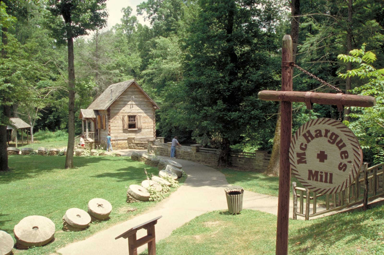
Levi Jackson and John Freeman came in 1802, and Jackson kept a tavern on the road from 1803. His family held the land until 1931, when his descendants gave it to the state. From 1935 the National Park Service and the Civilian Conservation Corps built cabins, footbridges and trails, and McHargue's Mill, a working reproduction on the Little Laurel River, went up in 1939 beside a field of old millstones. The Mountain Life Museum's cabins hold settler tools and Native artifacts. The City of London runs the park now.
Visitor Info
On the Map
Nearby
The closest stops worth working into your route
Historical markers nearby
Roadside plaques and monuments within a short detour