Home / North Carolina / Wilmington & the Cape Fear / Lake Waccamaw State Park
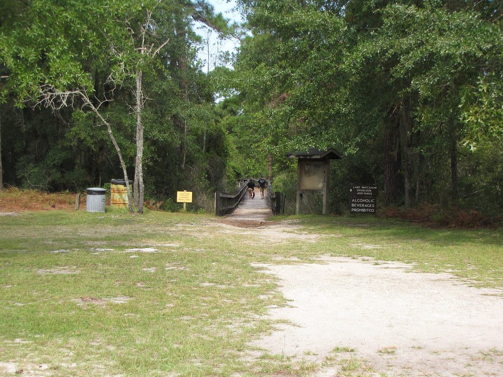
A sandy clearing leading to a wooden boardwalk into dense green woods, with a trail kiosk beside it.Gerry Dincher / CC BY-SA 2.0 via Flickr
🌲Natural

Lake Waccamaw State Park

Part ofWilmington & the Cape Fear

The largest Carolina bay, buffered by limestone and home to aquatic species found nowhere else, near the Waccamaw Siouan homeland at the edge of the Green Swamp.

⏱
Duration
Two hours to half a day.
🎟
Admission
Free for day use; fees for camping and reserved facilities (NC State Parks, 2026).
📅
Best Season
Year round; spring and fall for walking the shore, and the third weekend of October for the Waccamaw Siouan powwow near Bolton.

The Story

The lake shares its name with the Waccamaw, a Siouan people of the Waccamaw, Pee Dee and Lumber rivers, and the Waccamaw Siouan Tribe lives today in the St. James, Buckhead and Council communities at the edge of the Green Swamp, about seven miles from the shore. The community organized in 1910 as the Council of the Wide Awake Indians, opened a publicly funded school of its own at Buckhead in 1933, later made the old schoolhouse its tribal headquarters, and won state recognition in 1971. Its powwow, open to the public, is held at the tribal grounds near Bolton on the third Friday and Saturday of October.

Lake Waccamaw is the largest of the Carolina bays, the shallow oval basins scattered by the hundreds of thousands across the Atlantic coastal plain, and one of the few that still holds open water instead of vegetation. Their origin is still argued; one reading has them as ice-age lakes shaped by thaw and wind on frozen ground. Most bays are acid and tea-dark, but a limestone bluff here softens the water, and several aquatic animals live in this lake and nowhere else in the world.

The park covers about 2,400 acres along the shore 40 miles west of Wilmington. A footbridge over the Waccamaw Dam, where the river leaves the lake, lets walkers carry on around the full 14-mile shoreline, and the lake's breadth makes it a place to watch weather come across open water in a county of swamps and pine.

Visitor Info

⏱
Time Needed
Two hours to half a day.
🎟
Admission
Free for day use; fees for camping and reserved facilities (NC State Parks, 2026).
📅
Best Season
Year round; spring and fall for walking the shore, and the third weekend of October for the Waccamaw Siouan powwow near Bolton.
🛣️
Highway
NC 214

On the Map

Nearby

The closest stops worth working into your route

natural16 mi away
Green Swamp Preserve
Nature Conservancy longleaf savannas in the Green Swamp, kept open by fire, with wild Venus flytraps, pitcher plants, sundews and orchids.
historical24 mi away
Moores Creek National Battlefield
The creek crossing where Patriot militia broke a Loyalist Highland charge on February 27, 1776, ending royal hopes for North Carolina that year.
natural29 mi away
Jones Lake State Park
A rain-fed Carolina bay north of Elizabethtown, opened in 1939 as the first North Carolina state park to welcome Black visitors.
historical30 mi away
1898 Memorial Park
Six bronze paddles on North Third Street for the Black Wilmingtonians killed on November 10, 1898, in the coup that overthrew the city's elected government.
historical30 mi away
Bellamy Mansion Museum
A 1859-61 Market Street mansion built by enslaved and free Black craftsmen, with one of the best-preserved urban slave quarters in the country behind it.
historical30 mi away
Gregory Congregational Church
The church of a freedpeople's school at Third and Nun streets, where Wilmington's Black students gathered in 1971 and the Wilmington Ten case began.

Historical markers nearby

Roadside plaques and monuments within a short detour

Marker12 mi away
Millie-Christine McKoy
Whiteville
Marker14 mi away
The Bartrams
Westbrook
Marker16 mi away
Elwell Ferry
Kelly
Marker23 mi away
Daniel L. Russell
Winnabow
Marker25 mi away
Benjamin Smith
Belville
Marker26 mi away
Battle of Elizabethtown
Elizabethtown