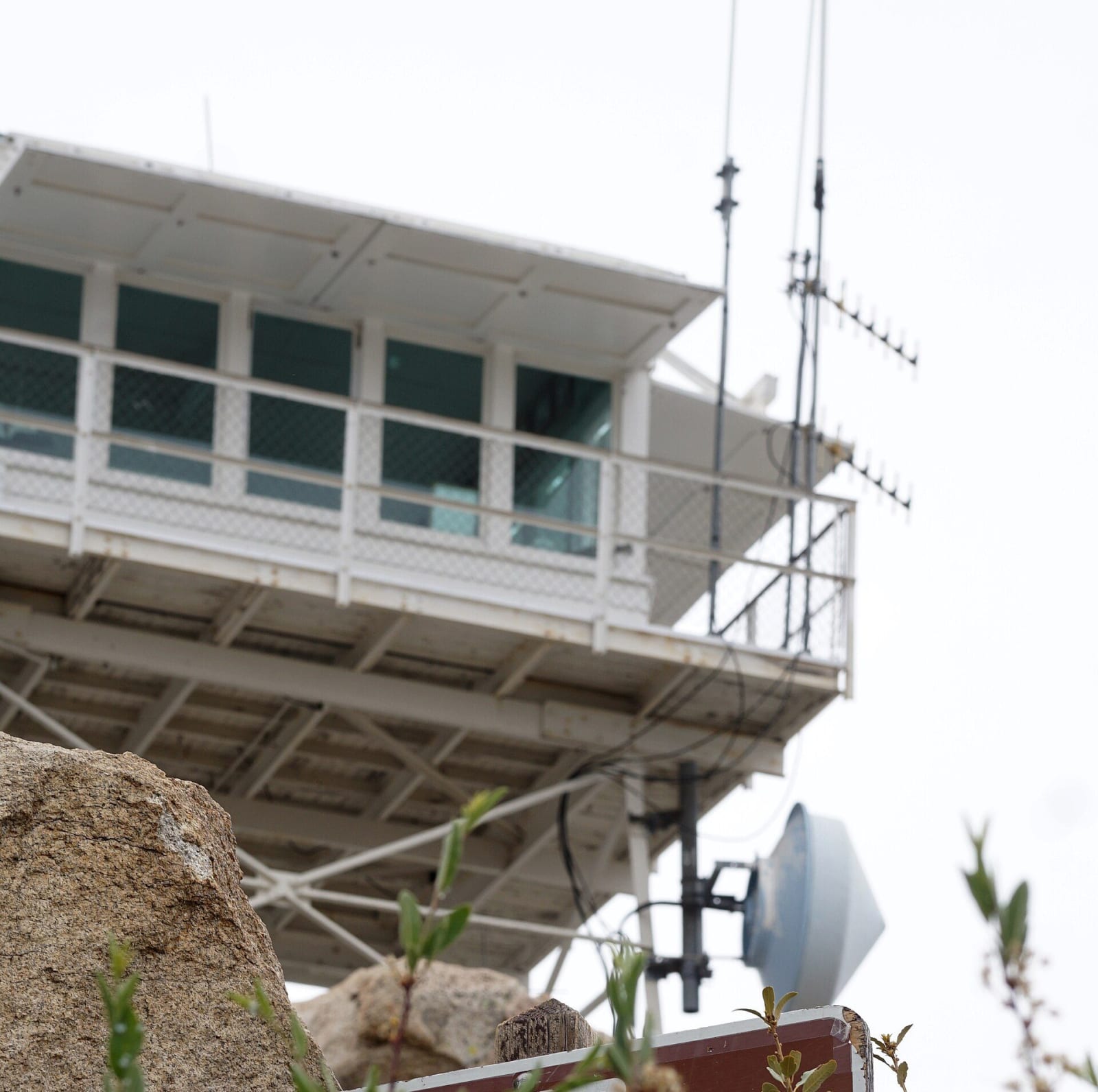
 San Bernardino National Forest / public domain via Wikimedia Commons
The Story
The tower went up in 1926 and was the oldest still standing in the San Bernardino National Forest until September 10, 2024, when the Line Fire reached the summit and burned it. The steel supports are still there. Nothing else is.
It was named for Ally Carlin Keller, born in San Bernardino in 1868, and it stood at 7,882 feet at the end of Keller Peak Road, a couple of miles east of Running Springs. Forest Service staff manned it from 1927 until 1981. It was renovated and reopened in 1985 with volunteers from the Rim of the World Interpretive Association, and from 1994 a host program organised volunteers across the whole forest. The cab was replaced with a standard Region 5 pattern in 1954; otherwise it was close to what had been built.
The work inside had not changed much either, and it was almost entirely analogue. A lookout sweeps the forest with binoculars every twenty minutes. Smoke gets logged and marked in red wax pencil on an Osborne Fire Finder, a topographic map under a rotating sighting ring that yields a bearing, so that two towers can cross their lines and fix the spot. Phones report most fires now, but a lookout tells the crews where to go, and Keller's volunteers were still calling in first reports in its last seasons.
The view was the other reason people drove up. Lake Arrowhead, Lake Gregory and Silverwood below, the Mojave off to the north, and on a clear day the ocean and Catalina.
The Line Fire started near Highland on September 5, 2024 and burned more than thirty-eight thousand acres. Two lookouts in this forest came through it, Strawberry Peak and Butler Peak above Fawnskin. Rebuilding Keller has been discussed and not settled. The drive up is still the drive up, and the view has not moved.
Visitor Info
On the Map
Nearby
The closest stops worth working into your route
Historical markers nearby
Roadside plaques and monuments within a short detour