Home / Kentucky / Northern Kentucky & the River Towns / John A. Roebling Suspension Bridge
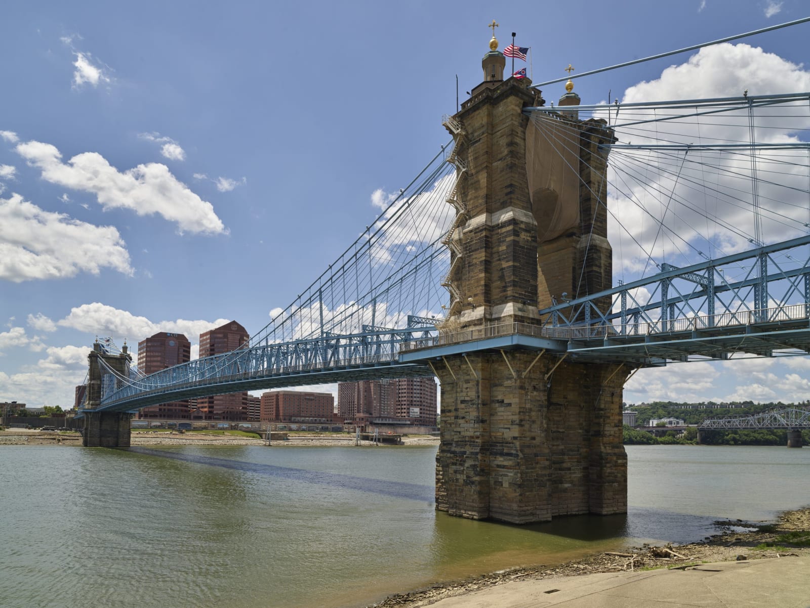
A sandstone tower and blue cables of the Roebling suspension bridge over the Ohio River, with city buildings beyond.Carol M. Highsmith / public domain via Library of Congress
🏛️Historical

John A. Roebling Suspension Bridge

Part ofNorthern Kentucky & the River Towns

Roebling's 1866 bridge from Covington to Cincinnati, the world's longest suspension span when it opened and the trial run for the Brooklyn Bridge.

⏱
Duration
Thirty minutes to an hour for a walk across and back.
🎟
Admission
Free to walk or drive across.
📅
Best Season
Year round; evening walks bring the Cincinnati skyline lit up across the river.

The Story

For most of its length the Ohio River was the line between slavery and freedom, and when this bridge was planned it would tie a slave state to a free one. The Covington and Cincinnati Bridge Company was chartered in February 1846 and asked John A. Roebling, a German-born engineer and maker of wire cable, to plan it. Work on the Covington tower did not start until September 1856, and then the Panic of 1857, the death of the company's president and the Civil War stopped it. When Confederate forces threatened Cincinnati in 1862, Union troops crossed the river on a pontoon bridge instead.

Pedestrians first walked over on December 1, 1866, and the bridge opened formally on January 1, 1867. Its main span of 1,057 feet was the longest of any suspension bridge in the world until Roebling's next one, the Brooklyn Bridge, opened in 1883. In 1896 the bridge was given a second set of main cables and a wider steel deck, and the towers it hangs from are still the 1860s sandstone.

Kentucky bought the bridge in 1953, and tolls ended ten years later when the Brent Spence Bridge opened downstream. It became a National Historic Landmark in 1975 and took Roebling's name in 1983. Cars still use it under a weight limit, but the best way across is on foot: park on the Covington side near Roebling Point, walk to the Ohio bank, and come back with the Licking River mouth below you.

Visitor Info

⏱
Time Needed
Thirty minutes to an hour for a walk across and back.
🎟
Admission
Free to walk or drive across.
📅
Best Season
Year round; evening walks bring the Cincinnati skyline lit up across the river.
🛣️
Highway
KY 17 (Court Avenue)

On the Map

Nearby

The closest stops worth working into your route

historical0.2 mi away
Licking Riverside Historic District
Covington's oldest neighborhood, where the Licking meets the Ohio: river mansions, the 1815 Carneal House and the neighbors who saved them in 1967.
historical18 mi away
Dinsmore Farm Museum
The Dinsmore family's 1842 farmhouse on Burlington Pike, told through the people the family enslaved and brought north from a Louisiana sugar plantation.
historical19 mi away
Big Bone Lick State Historic Site
Salt springs and an Ice Age bog in Boone County where mastodon bones drew Native salt makers, French officers and Thomas Jefferson's collectors.
historical21 mi away
Rabbit Hash General Store
An 1831 country store on the Ohio across from Rising Sun, Indiana, rebuilt after a 2016 fire, in a river hamlet that elects dogs as mayor.
historical35 mi away
Augusta and the Augusta Ferry
A Bracken County river town with a car ferry still crossing the Ohio, an early Methodist college, and a riverbank more than thirty freedom seekers left from in 1852.
recreational45 mi away
General Butler State Resort Park
A 791-acre park above Carrollton, where the Ohio meets the Kentucky River, built around the 1859 Butler-Turpin house and the family that ran its farm with enslaved labor.

Historical markers nearby

Roadside plaques and monuments within a short detour

Marker0.3 mi away
James Bradley
Covington
Marker0.3 mi away
Daniel Carter Beard, 1850-1941
Covington
Marker0.7 mi away
Slave Escape
Covington
Marker0.7 mi away
"Tommygun Inventor"
Newport
Marker0.8 mi away
William Goebel-Lawyer
Covington
Marker0.8 mi away
William L. Grant / Lincoln and Grant Schools
Covington