Home / Colorado / The Central Rockies / Independence Pass
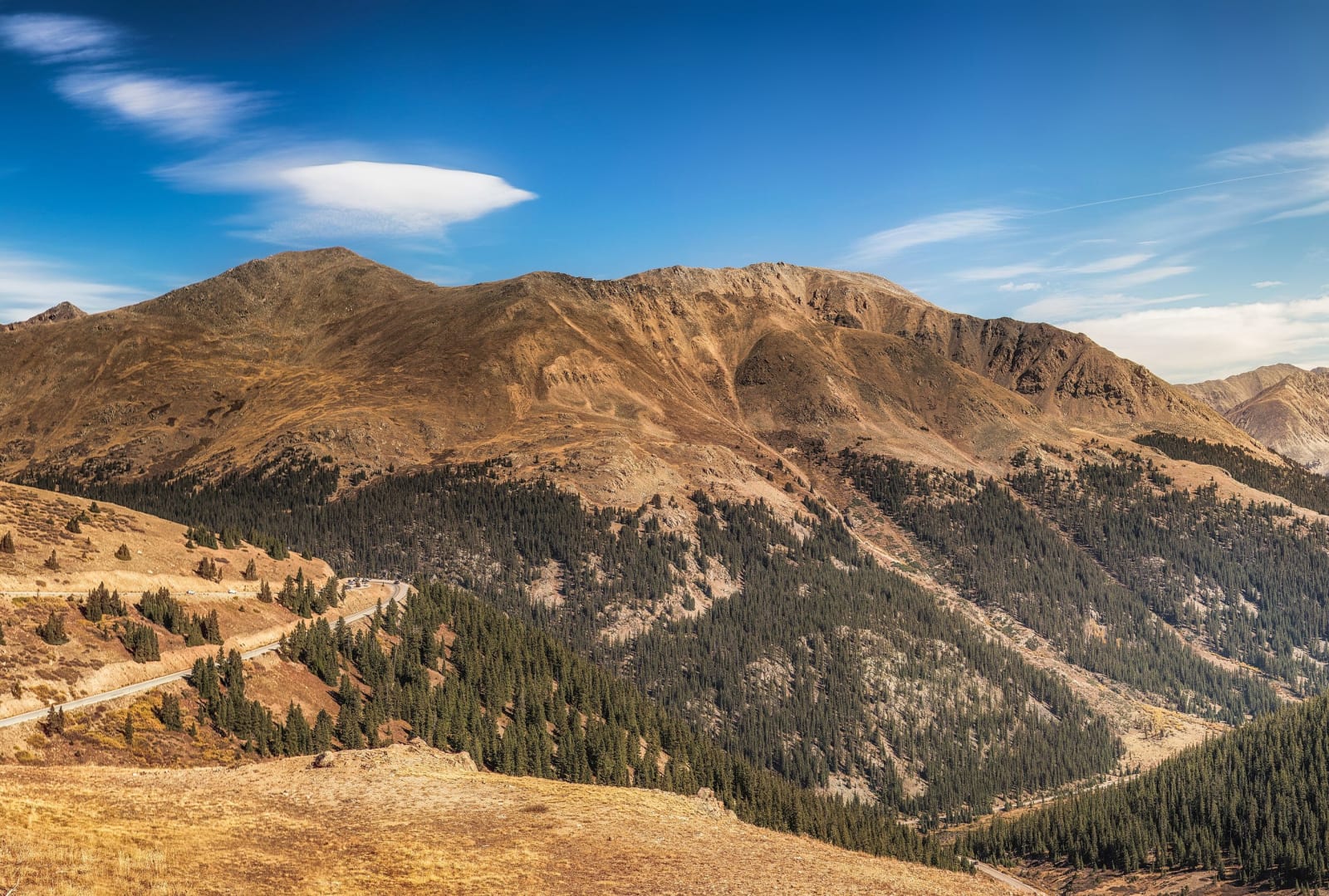
Tundra slopes and forested valley below the summit of Independence PassDavid Zhang / CC BY-SA 2.0 via Wikimedia Commons
🏛️Historical

Independence Pass

Part ofThe Central Rockies
On this driveCO-82: Twin Lakes over Independence Pass to Glenwood Springs

Crossed by prospectors on the Fourth of July 1879, opened as a toll road for the Aspen rush in 1881, and shut by snow half of every year since.

Scenic DrivingPhotographyMining BoomSummerGhost TownsFree
⏱
Duration
An hour at the summit and the ghost town.
🎟
Admission
Free.
📅
Best Season
Late May to late October, when the road is open.

The Story

Independence Pass carries State Highway 82 over the Continental Divide at 12,095 feet between Twin Lakes and Aspen. It was Hunter Pass until July 4, 1879, when a party of prospectors, defying an order from Governor Frederick Pitkin, crossed it and found gold in a meadow at the head of the Roaring Fork, and named both the strike and the pass for the day. The town of Independence grew up on the west side, at about 10,900 feet, and by the early 1880s held several hundred people, perhaps more than a thousand.

Leadville miners spent the winter of 1879 and 1880 outfitting for the rush to the Roaring Fork and went over in February on long Norwegian skis and snowshoes. A toll company put some 250 men to work on a road, and on November 1, 1881, the Independence Pass toll road opened to through traffic, with sixty Aspen-bound wagons a day and scheduled stages from Leadville; within a week the snow had them on sleighs. The road and the town both faded once the railroads reached Aspen in 1887 and 1888. Independence was renamed several times in attempts to revive it and was empty within a few decades.

The state took over the road in the 1920s. Since then it has closed every winter, usually from late October or early November until late May, and vehicles longer than 35 feet are barred at all times because of the narrow curves on the Aspen side. Aspen Historical Society volunteers and the Forest Service began stabilizing the ghost town's cabins and mill in the 1970s and 1980s, and they stand beside the highway three miles west of the summit.

Visitor Info

⏱
Time Needed
An hour at the summit and the ghost town.
🎟
Admission
Free.
📅
Best Season
Late May to late October, when the road is open.
🛣️
Highway
CO-82

On the Map

Nearby

The closest stops worth working into your route

natural20 mi away
Maroon Bells
Two fourteeners of crumbling red mudstone, called the Deadly Bells since eight people died on them in 1965, and reachable in summer only by reservation.
historical31 mi away
South Park City Museum
A mining town assembled in the 1950s from buildings hauled out of South Park's dying camps, by a Colorado Springs lawyer who wanted no imitation town.
natural47 mi away
Glenwood Canyon
Interstate 70 threaded through on viaducts in 1992, buried by debris flows off a burn scar in 2021, with Hanging Lake on a permit above it.
natural59 mi away
Mount Blue Sky
Rosalie for a painter, Evans for a governor, and since 2023 a name the Cheyenne and Arapaho asked for, at the top of North America's highest paved road.
historical62 mi away
Georgetown Loop Railroad
Scrapped in 1939 for $450, rebuilt a century after it first opened, and running again over the bridge that crosses its own track.
historical62 mi away
Hotel de Paris
A French cook's hotel in a silver town, kept for twenty-five years by a man whose name turned out not to be his own.