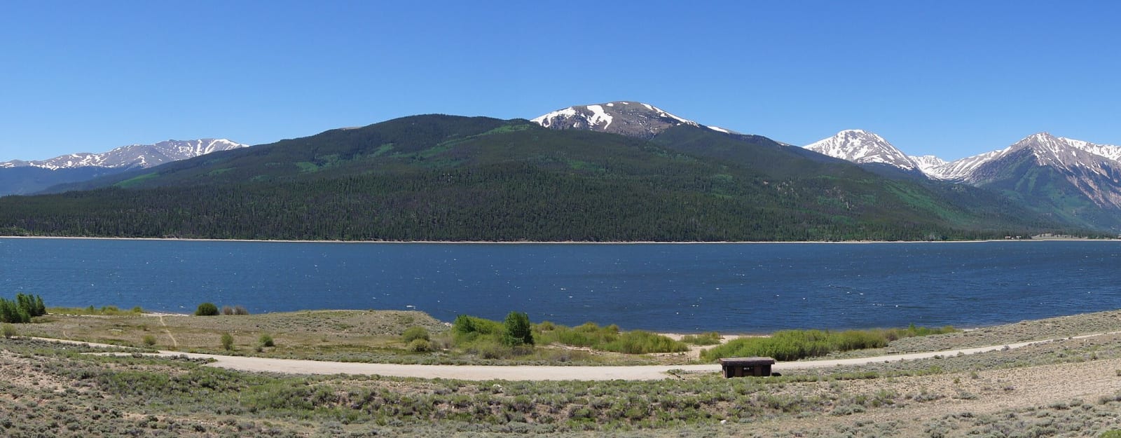
CO-82: Twin Lakes over Independence Pass to Glenwood Springs
Over the Continental Divide at 12,095 feet on the 1881 toll-road route, down the Roaring Fork through Aspen to the canyon at Glenwood Springs. Closed half the year.
The Route at a Glance
Colorado 82 leaves US-24 south of Leadville, runs west past Twin Lakes, climbs over the Continental Divide at Independence Pass, and descends the Roaring Fork Valley through Aspen to Glenwood Springs, about seventy-nine miles and two and a half hours. The section over the pass, between gates on either side, closes every winter, usually from late October or early November until late May. Vehicles and trailers longer than 35 feet are barred from the pass at all times.
From Twin Lakes the road climbs up Lake Creek into the high basins and switchbacks to Independence Pass at 12,095 feet, the route the toll road opened on November 1, 1881, for the rush to Aspen. Three miles below the summit on the west side stand the stabilized cabins of the ghost town of Independence. The descent along the young Roaring Fork is narrow in places, one lane wide around a few rock outcrops, with steep drops and no shoulder.
Aspen sits where the valley opens, a silver town the 1893 crash emptied and the postwar ski company and music festival refilled. From the roundabout west of town, Maroon Creek Road leads ten miles to the Maroon Bells, by reservation shuttle or a reserved parking slot in summer and fall. The highway then runs down the widening valley past Snowmass, Basalt and Carbondale, under Mount Sopris, to Glenwood Springs, where the Roaring Fork meets the Colorado.
At Glenwood Springs, Interstate 70 runs east into Glenwood Canyon, the end of this route, with the trail to Hanging Lake a few miles up the canyon.
The Drive, Stop by Stop
3 stops along the route, in driving order from Twin Lakes, Colorado to Glenwood Springs, Colorado. 2 of them sit off the road itself — the distance is noted on each.
- 1
- 2
- 3
That's the drive. Take your time, pull over often, and let CO-82: Twin Lakes over Independence Pass to Glenwood Springs do what it does best.
← Explore more of Open Road Guide