Home / Alabama / Tuskegee & East Alabama / Horseshoe Bend National Military Park
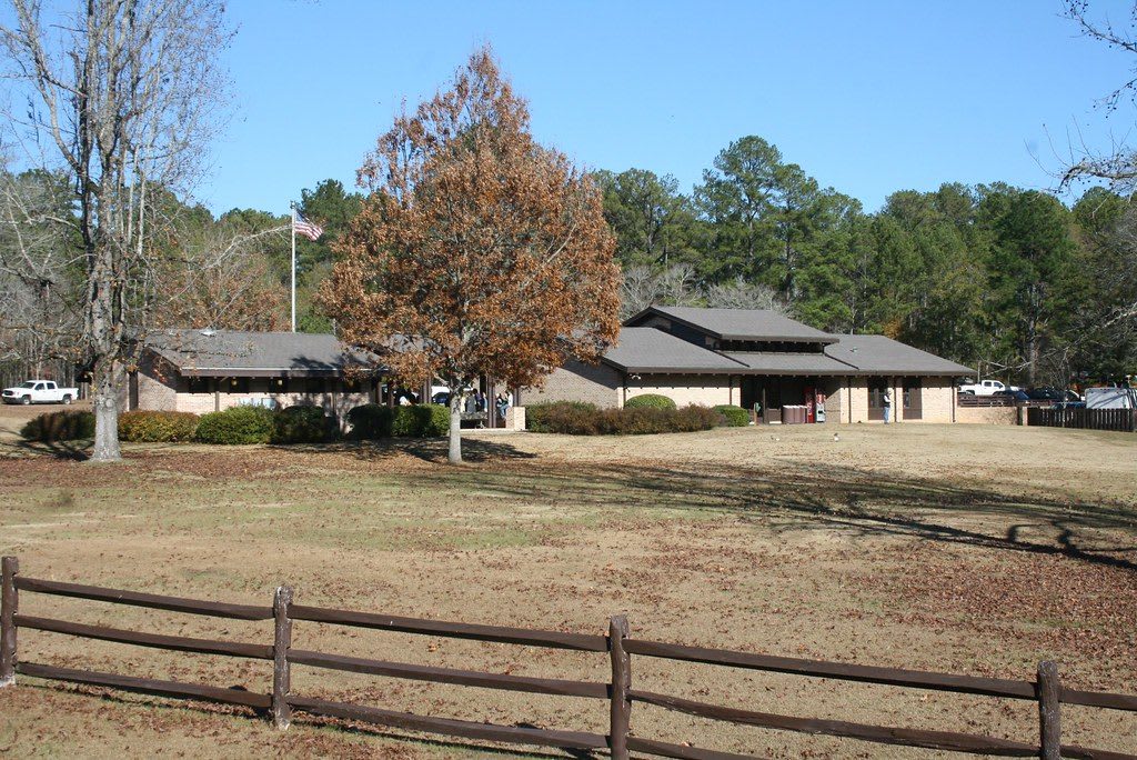
The low brick visitor center at Horseshoe Bend National Military Park behind a split-rail fence and an autumn tree.LakeMartinVoice / CC BY 2.0 via Flickr
🏛️Historical

Horseshoe Bend National Military Park

Part ofTuskegee & East Alabama

The bend of the Tallapoosa where Red Stick Creek families built the village of Tohopeka, and where more than 800 of their men died fighting Andrew Jackson's army on March 27, 1814.

⏱
Duration
One and a half to three hours.
🎟
Admission
Free.
📅
Best Season
Year round. The park marks the anniversary of the battle each March with a living-history program, and holds a history symposium in August.

The Story

By the winter of 1813 the Upper Creek towns along the Tallapoosa had been at war for months. The Red Sticks were Muscogee (Creek) people who answered Tecumseh's call to return to the old ways and drive the Americans out, and their fight began as a civil war inside the Creek Nation. From December, people of six towns, Okfuskee, Newyaucau, Oakchaya, Eufaula, Fishponds and Hillabee, gathered in this bend for safety. At its toe they built Tohopeka, about 300 log houses, and across the neck they raised a log-and-earth barricade nearly 400 yards long.

On March 27, 1814, Andrew Jackson came with about 3,300 men: Tennessee militia, the 39th U.S. Infantry, and 500 Cherokee and 100 Lower Creek allies. While his cannon pounded the wall, Cherokee warriors swam the river, took the canoes and set Tohopeka burning from behind. About 1,000 defenders, perhaps a third of them with guns, held for most of the day. More than 800 died, many of them shot in the river, and about 350 women and children were taken prisoner. Menawa of Okfuskee, wounded seven times, lay among the dead until dark and escaped by canoe. That August the Treaty of Fort Jackson took more than 21 million acres from the whole Creek Nation.

Menawa sat on the Creek National Council afterward, but in 1836, at about 70, he was removed west with his people. The museum traces the war and the Muscogee story in Alabama, and the tour road passes the barricade line and the village site. Walk it as a place of loss as much as a battlefield.

Visitor Info

⏱
Time Needed
One and a half to three hours.
🎟
Admission
Free.
📅
Best Season
Year round. The park marks the anniversary of the battle each March with a living-history program, and holds a history symposium in August.
🛣️
Highway
AL 49

On the Map

Nearby

The closest stops worth working into your route

recreational14 mi away
Wind Creek State Park
A lakeshore park on Lake Martin, the 1926 Alabama Power reservoir that drowned Kowaliga, a Black farming and school community built by a man born enslaved on its creek.
historical27 mi away
Pioneer Park and Lee County Historical Society Museum
A railroad-era trade building and a village of old buildings in Loachapoka, the Creek town Lucv-Pokv, which militia destroyed in 1836.
cultural30 mi away
Toomer's Corner
The corner of Magnolia Avenue and College Street where Auburn's campus meets its downtown, home of Toomer's Drugs since 1896 and of the oaks fans roll in toilet paper after a win.
natural33 mi away
Chewacla State Park
A 696-acre Civilian Conservation Corps park on Auburn's south edge, where a 1930s stone dam spills over as Chewacla Falls below a 26-acre lake.
natural35 mi away
Cheaha State Park
Alabama's highest point, 2,407 feet, named from the Muscogee word for a high place, with CCC stone cabins, a hand-dug lake and a lookout tower over the Talladega National Forest.
historical36 mi away
Tuskegee Airmen National Historic Site
Moton Field, the Tuskegee Institute airfield where every Black military pilot of World War II began flight training, now a National Park Service site with its hangars and control tower.

Historical markers nearby

Roadside plaques and monuments within a short detour

Marker4.4 mi away
Battle Of Emucfau
New Site
Marker4.5 mi away
Town of New Site
New Site
Marker10 mi away
Grafenberg Medical Institute
Dadeville
Marker11 mi away
Johnson J. Hooper
Dadeville
Marker11 mi away
Fletcher Napoleon Farrington, Sr.
Dadeville
Marker13 mi away
The Savannah And Memphis Railroad 1874
Alexander City