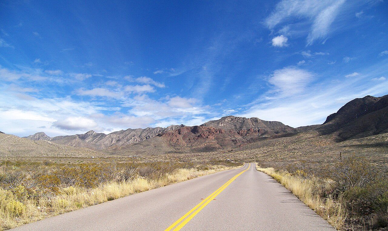
 Larry D. Moore / CC BY 4.0 via Wikimedia Commons
The Story
The Franklin Mountains run north from downtown El Paso into New Mexico, about three miles wide and twenty-three miles long, and they split the city in two. North Franklin Mountain rises to 7,192 feet. The range is a tilted fault block, and in it are billion-year-old Precambrian rocks, the oldest in Texas. Early Spanish maps called the range the Sierra de los Mansos, for a people the Spanish found along the river, or the Sierra de los Organos, for its organ-pipe cliffs.
The park began with a road. In 1979 a developer cut a road to the top of North Franklin Mountain, and conservationists formed the Wilderness Park Coalition and persuaded the legislature to direct the state to buy the range for a park. Today it covers almost 27,000 acres, about 40 square miles, and is said to be the largest urban park in the nation.
The Transmountain Road, Loop 375, crosses the range and gives access to the Tom Mays Unit, with fourteen walk-in tent sites, five RV sites and the main trailheads. More than 100 miles of trail serve hikers and mountain bikers, and climbers use McKelligon Canyon and Sneed's Cory. The campsites have no water or electricity. Land along parts of the Transmountain Road belonged to the Army's Castner Range, where old artillery rounds made the ground hazardous, so stay on marked trails. Spring brings Mexican poppies to the slopes.
Visitor Info
On the Map
Nearby
The closest stops worth working into your route
Historical markers nearby
Roadside plaques and monuments within a short detour