
El Paso & the Pass of the North
The Pass of the North: Franklin Mountains State Park, Ysleta del Sur Pueblo and the Mission Trail, San Elizario's Salt War, the Chamizal, the Magoffin Home and Hueco Tanks.
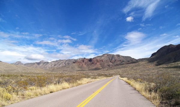
El Paso takes its name from the pass where the Rio Grande cuts between the Franklin Mountains and the Sierra de Juarez, the way north for Spanish caravans and the roads that followed. El Paso and Ciudad Juarez face each other across the river, and the Franklins split the city. Franklin Mountains State Park covers most of the range and is said to be the largest urban park in the nation.
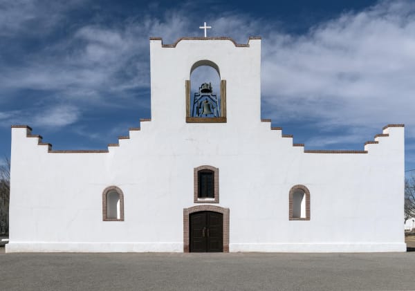
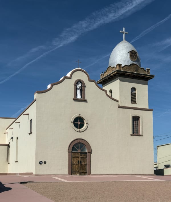
Downriver is the Mission Valley. Ysleta del Sur Pueblo, the Tigua, came south after the Pueblo Revolt of 1680 and remain a living nation here, with their own cultural center near the Ysleta Mission. The Socorro Mission and the presidio chapel at San Elizario complete the Mission Trail. San Elizario was also the scene of the Salt War of 1877, a fight over the salt lakes below the Guadalupe Mountains.
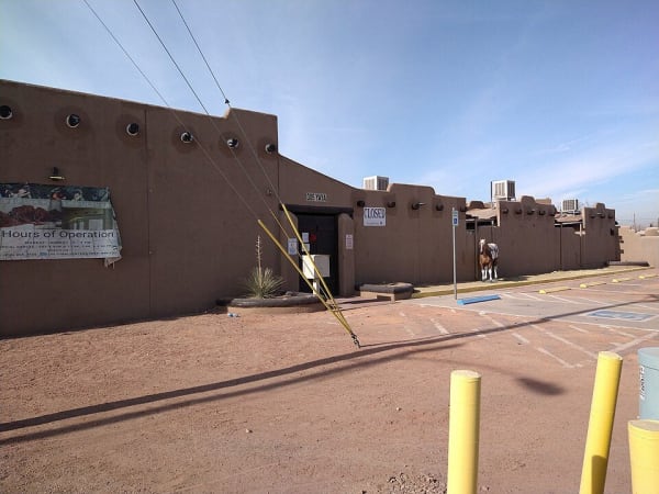
The river itself made trouble. It shifted south in the nineteenth century, and the Chamizal tract became a border dispute that lasted until a 1963 treaty returned land to Mexico. Chamizal National Memorial marks the settlement. The Magoffin Home is a family adobe of 1875.
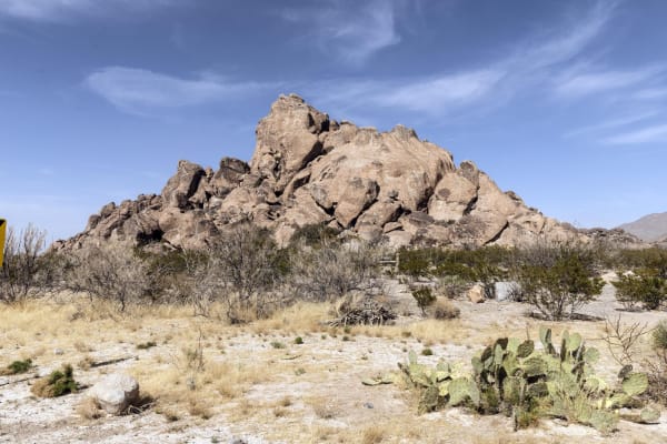
East of the city, Hueco Tanks held rainwater in rock basins for travelers and a Butterfield station, and its painted figures are seen by reservation and guided tour. Past it, Interstate 10 crosses Hudspeth County to Sierra Blanca.
What to See in El Paso & the Pass of the North
9 places across the region, grouped by what they are.
Natural Areas
Historic Sites


Towns & Gateways
Architecture
El Paso & the Pass of the North rewards the unhurried. Pick a base, fan out, and let the country between the headline stops surprise you.
← Explore more of Open Road Guide