Home / Georgia / Rome, Chickamauga & Northwest Georgia / Fort Mountain State Park
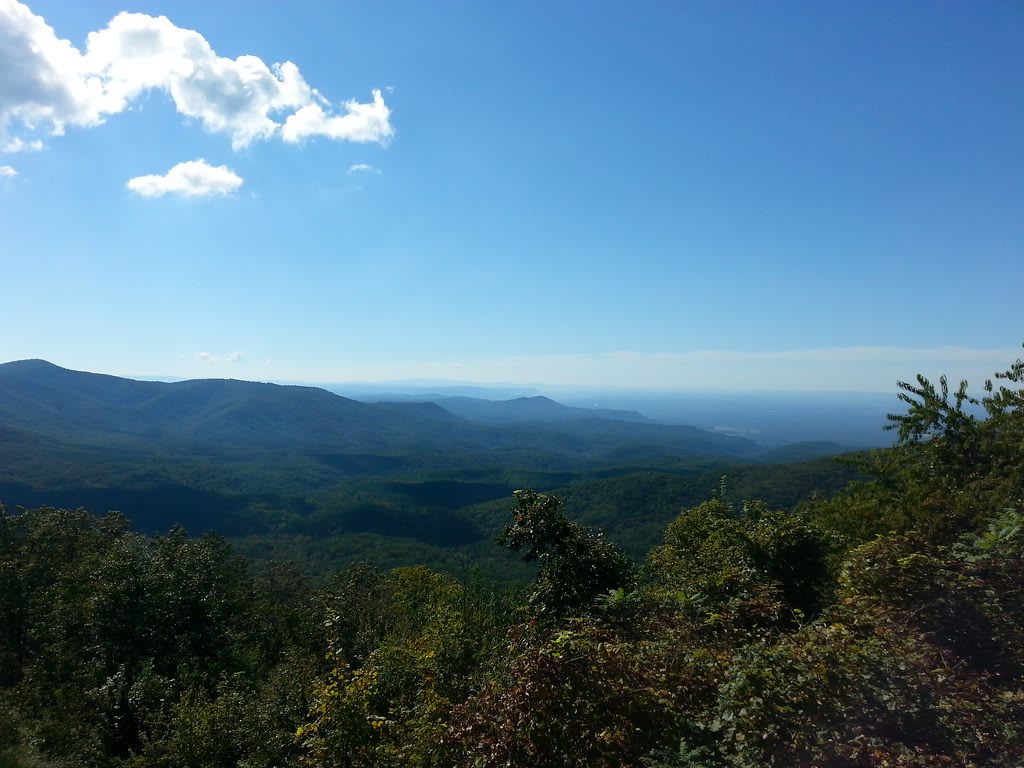
Rolling blue mountain ridges under a bright sky with white clouds, seen over treetops from a mountain overlook.nshivar / CC BY 2.0 via Flickr
🌲Natural

Fort Mountain State Park

Part ofRome, Chickamauga & Northwest Georgia

A mountain park between Chatsworth and Ellijay named for an ancient stone wall on its peak, with a CCC fire tower, a lake and long views over the Cohutta country.

⏱
Duration
Two hours to a full day.
🎟
Admission
Georgia State Parks ParkPass parking fee per vehicle; annual passes accepted (2026).
📅
Best Season
Year round; October for color, summer for the lake. Park open 7 a.m. to 10 p.m. (Georgia State Parks, 2026).

The Story

Along the crest of this mountain runs a stone wall about 885 feet long, laid in a zigzag of loose rock with a line of pits beside it and the remains of a gateway. Its builders were Native people long before the Cherokee towns of this country, most likely in the Woodland period of roughly 2,000 years ago, and no one knows what it was for. A National Register nomination calls it more of a marker than a fortification, dividing the north peak from the south. Settlers' stories credited it to a Welsh prince named Madoc, to de Soto or to the moon-eyed people of Cherokee lore, and a plaque repeating the Welsh tale has since been taken down. Treat it as the work of the people who lived here, and stay on the trail.

Murray County was Cherokee Nation land until Georgia forced the people west in 1838. A century later Ivan Allen Sr. gave the first land for the park, and in the 1930s the Civilian Conservation Corps built its stone fire tower, its lake, its trails and picnic shelters. Purchases in the late 1990s nearly doubled it to 3,712 acres.

The park lies on GA 52 between Chatsworth and Ellijay, inside the Chattahoochee National Forest, and its overlooks open across the Cohutta country. A 17-acre mountain lake sits below the summit, and trails lead up to the wall and the stone tower. Blueberry thickets, hardwood and pine forest and small waterfalls fill the rest, with cottages and campsites for a longer stay.

Visitor Info

⏱
Time Needed
Two hours to a full day.
🎟
Admission
Georgia State Parks ParkPass parking fee per vehicle; annual passes accepted (2026).
📅
Best Season
Year round; October for color, summer for the lake. Park open 7 a.m. to 10 p.m. (Georgia State Parks, 2026).
🛣️
Highway
GA 52

On the Map

Nearby

The closest stops worth working into your route

historical6.8 mi away
Chief Vann House State Historic Site
The 1804 brick house at Spring Place, built by the Cherokee leader James Vann and seized from his son Joseph under a Georgia law in 1834.
historical19 mi away
New Echota State Historic Site
The capital the Cherokee Nation built in 1825 where two rivers form the Oostanaula, home of the Cherokee Phoenix and the place removal began.
historical21 mi away
Red Clay State Historic Park
The last seat of the Cherokee Nation before removal, where eleven general councils met from 1832 to 1837, now a state park with a council house replica, a sacred spring and an eternal flame.
historical23 mi away
Blue Ridge Scenic Railway
Excursion trains from the 1905 Louisville and Nashville depot in Blue Ridge, running 13 miles beside the Toccoa River to McCaysville and Copperhill on the 1886 line.
recreational25 mi away
Ocoee Whitewater Center
The Forest Service site on the Ocoee River in Cherokee National Forest that hosted the 1996 Olympic canoe slalom, on a river that TVA dams and releases by schedule.
natural29 mi away
Amicalola Falls State Park
The tiered falls of Little Amicalola Creek in Dawson County, named in Cherokee, first written up by a Georgia Guard officer in 1832, and the start of the Approach Trail to Springer Mountain.

Historical markers nearby

Roadside plaques and monuments within a short detour

Marker3.8 mi away
Murray County
Chatsworth
Marker6.4 mi away
Springplace Mission
Chatsworth
Marker6.7 mi away
Chief Vann House
Chatsworth
Marker6.8 mi away
Old Federal Road
Chatsworth
Marker6.9 mi away
Fort Gilmer
Chatsworth
Marker9.8 mi away
Old Holly Creek P.O.
Chatsworth