Home / Georgia / The North Georgia Mountains / Blue Ridge Scenic Railway
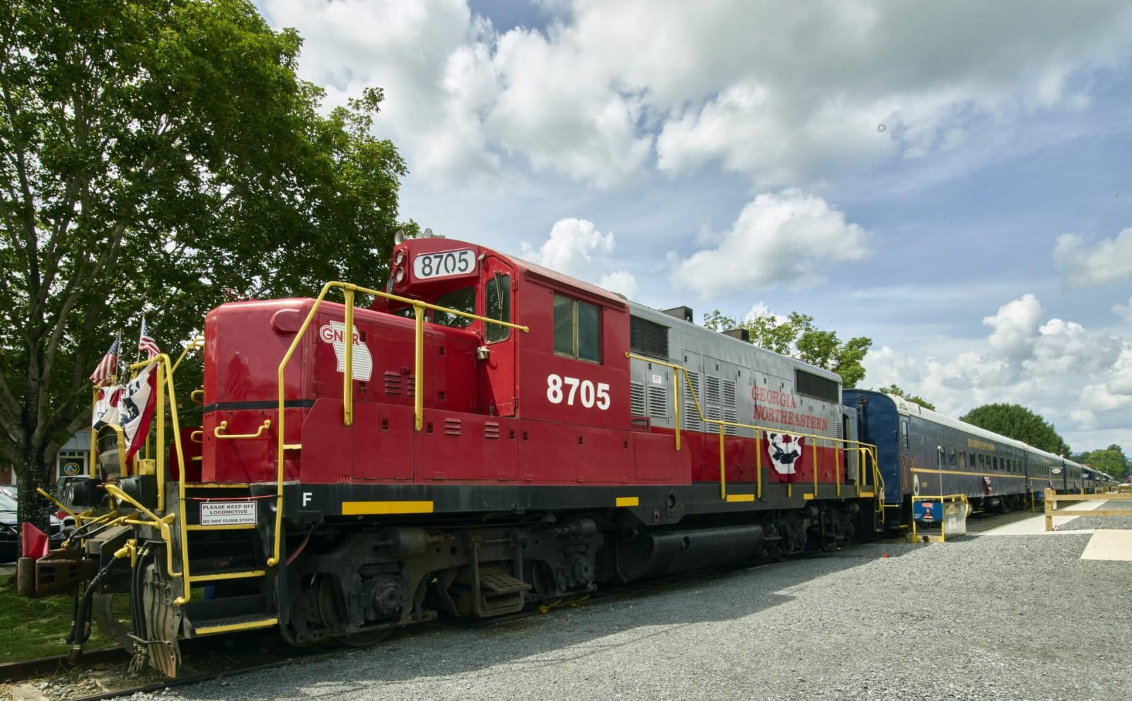
A red diesel locomotive with flag bunting pulls blue passenger cars along a gravel platform in Blue Ridge.Carol M. Highsmith / public domain via Library of Congress
🏛️Historical

Blue Ridge Scenic Railway

Part ofThe North Georgia Mountains

Excursion trains from the 1905 Louisville and Nashville depot in Blue Ridge, running 13 miles beside the Toccoa River to McCaysville and Copperhill on the 1886 line.

⏱
Duration
Two hours for the round trip, or four with a layover in McCaysville.
🎟
Admission
Tickets required; fares vary by ride, season and class of car (2026).
📅
Best Season
Late February through December, in spring, summer, fall and holiday seasons; book ahead for weekends (2026).

The Story

The Marietta and North Georgia Railroad reached this valley in 1886, and the town of Blue Ridge was incorporated the next year at the end of the line. The tracks went on east toward Copperhill, Tennessee, through a curve so tight that crews called it the hook: a conductor whose cigar went out in the caboose, they claimed, could lean out there and get a light from the engineer. By 1905 the line had been bought twice and belonged to the Louisville and Nashville, which built the depot on Depot Street that year.

The railroad remade the county. It set the routes of the local roads, carried out the last virgin timber, saved an ailing mining industry and turned small towns into resorts. It moved the county seat too: judges and lawyers had such trouble getting from the Blue Ridge station to the courthouse in Morganton that voters shifted the seat to Blue Ridge in 1895. The last passenger train left in 1951, and freight ended when the L&N quit the line in 1987.

Residents began working to bring it back in 1990, and excursions started in 1998. The train runs 13 miles each way beside the Toccoa River to McCaysville, Georgia, and its twin town of Copperhill, Tennessee; the longer trip allows a two-hour layover there to eat and walk, and a shorter ride turns back without stopping. Patriot Rail bought the railway in 2015. Parking near the depot is paid, and weekends are busiest.

Visitor Info

⏱
Time Needed
Two hours for the round trip, or four with a layover in McCaysville.
🎟
Admission
Tickets required; fares vary by ride, season and class of car (2026).
📅
Best Season
Late February through December, in spring, summer, fall and holiday seasons; book ahead for weekends (2026).
🛣️
Highway
GA 515

On the Map

Nearby

The closest stops worth working into your route

recreational16 mi away
Ocoee Whitewater Center
The Forest Service site on the Ocoee River in Cherokee National Forest that hosted the 1996 Olympic canoe slalom, on a river that TVA dams and releases by schedule.
natural22 mi away
Amicalola Falls State Park
The tiered falls of Little Amicalola Creek in Dawson County, named in Cherokee, first written up by a Georgia Guard officer in 1832, and the start of the Approach Trail to Springer Mountain.
historical22 mi away
Fort Butler and the Trail of Tears
Army headquarters for the 1838 Cherokee removal in North Carolina, where more than 3,000 prisoners were held before the march west.
natural23 mi away
Fort Mountain State Park
A mountain park between Chatsworth and Ellijay named for an ancient stone wall on its peak, with a CCC fire tower, a lake and long views over the Cohutta country.
cultural24 mi away
John C. Campbell Folk School
The Brasstown folk school Olive Dame Campbell and Marguerite Butler opened in 1925 on the Danish model, home of the Brasstown Carvers.
historical25 mi away
Walasi-Yi Center at Neel Gap
The 1934-38 Civilian Conservation Corps stone inn at Neel Gap on US 129, where the Appalachian Trail passes through a breezeway between its two halves.

Historical markers nearby

Roadside plaques and monuments within a short detour

Marker0.2 mi away
Fannin County
Blue Ridge
Marker8.8 mi away
The Madden Branch Massacre: Anti-Confederate activity in North Georgia
McCaysville
Marker12 mi away
North Carolina-Georgia
Culberson, North Carolina
Marker12 mi away
Hiwassee Mine
Ducktown, Tennessee
Marker13 mi away
Davenport Mountain
Blairsville
Marker15 mi away
Gilmer County
Ellijay