 Idaho Department of Commerce and Labor / public domain via Wikimedia Commons
The Story
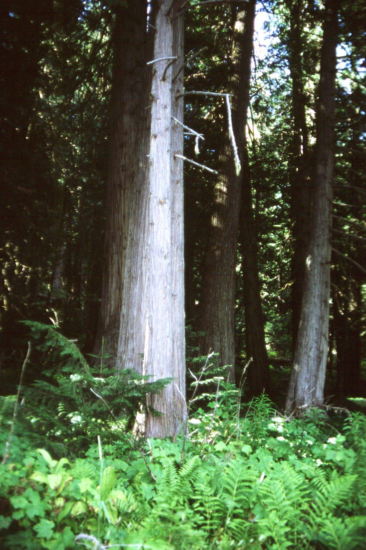
About ten miles below Lolo Pass, US-12 runs through a stand of western red cedars along Crooked Fork Creek, some of them more than a hundred feet tall and estimated at a thousand years old. For decades the grove was simply the Big Cedars, a campground at the end of a narrow gravel road over the pass from Montana. Bernard DeVoto camped here in the late 1940s while he worked on his edition of the Lewis and Clark journals, and it became his favorite place, a spot under one great cedar where he could watch the creek run over the rocks.
DeVoto was a historian of the West and, in his Harper's columns, one of the loudest defenders of its public lands. He died in 1955, days before the fight he had helped lead against a dam at Echo Park was won, and asked that his ashes be scattered over a national forest. In the spring of 1956 a friend in the Forest Service flew over the grove in a small plane from Missoula and did it. When his admirers proposed renaming the whole Clearwater National Forest for him, Idaho objected so bitterly that the idea died, and the grove got his name instead. His wife, the writer and editor Avis DeVoto, who died in 2003, was scattered here too.
The irony DeVoto would have appreciated is that Lewis and Clark never saw these trees. Their route, the old Nimiipuu trail across the mountains, stayed high on the ridges to the north, and it was that same trail the non-treaty bands followed out of their country in the summer of 1877. Two short paved loops run from the picnic area through the grove, with benches along the creek. Look at the country on either side of it on the drive: the cutover railroad-grant and state land is what these trees were spared from.
Visitor Info
On the Map
Nearby
The closest stops worth working into your route
Historical markers nearby
Roadside plaques and monuments within a short detour