Home / Montana / Missoula & the Bitterroot / Lee Metcalf National Wildlife Refuge
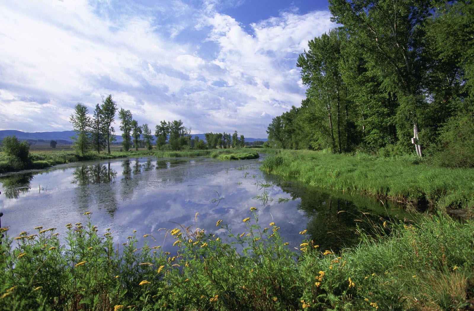
A still channel on the Lee Metcalf refuge reflecting cottonwoods and a summer sky, yellow wildflowers along the near bankSteve Hillebrand, U.S. Fish and Wildlife Service / public domain via Wikimedia Commons
๐ŸŒฒNatural

Lee Metcalf National Wildlife Refuge

Part ofMissoula & the Bitterroot

Bitterroot wetlands bought with duck stamps and named for the senator who signed off on refuges across the country.

Family-FriendlyPhotographyFreeHiking
โฑ
Duration
One to two hours.
๐ŸŽŸ
Admission
Free.
๐Ÿ“…
Best Season
Spring and fall migrations; summer for nesting osprey.

The Story

Lee Metcalf was born in Stevensville in 1911 and served in the House and then the Senate as one of Congress's steadiest voices for public land. From 1961 to 1975 he sat on the Migratory Bird Conservation Commission, which approves the wetlands the federal government buys with the money hunters pay for duck stamps, during the fastest growth the refuge system had seen. He died in January 1978, and that August the Ravalli National Wildlife Refuge, established in 1964 two miles from his hometown and visited by him more than once, was renamed for him.

The refuge covers about 2,800 acres of ponds, marsh, meadow and cottonwood bottom along the east bank of the Bitterroot River. More than two hundred bird species have been recorded here and over a hundred nest; its osprey nests have been watched longer than any others in Montana, and a heron rookery stands in view of the visitor area. Inside the refuge is the Whaley Homestead, the eight-room log house Peter and Hannah Whaley built in 1885 on a Desert Land Act claim.

Wildfowl Lane runs through the refuge for driving or biking, and two short paved trails loop through the wetlands and river woods, usually free of snow by March. The refuge is open every day from sunrise to sunset, with the Bitterroot Range rising across the valley to the west.

Visitor Info

โฑ
Time Needed
One to two hours.
๐ŸŽŸ
Admission
Free.
๐Ÿ“…
Best Season
Spring and fall migrations; summer for nesting osprey.
๐Ÿ›ฃ๏ธ
Highway
MT-269

On the Map

Nearby

The closest stops worth working into your route

historical2.7 mi away
Fort Owen
A trader bought a failed mission for $250, walled it in adobe, and lost it all at a sheriff's sale.
cultural3.4 mi away
Historic St. Mary's Mission
The mission the Salish asked for, abandoned, rebuilt, and closed again the year the Salish were made to leave.
historical13 mi away
Travelers' Rest State Park
The one Lewis and Clark campsite with proof in the ground: hearths, gun lead and a latrine still laced with mercury.
historical14 mi away
Fort Fizzle
A log barricade built to stop the Nimiipuu in 1877. They climbed the ridge behind it and walked around.
historical20 mi away
Fort Missoula
An 1877 Army post that held Italian seamen and Japanese immigrant men behind its fence in World War II.
architectural20 mi away
Daly Mansion
A copper king's summer farm, finished by his widow after his death and boarded up for forty-six years after hers.

Historical markers nearby

Roadside plaques and monuments within a short detour

Marker13 mi away
Lewis and Clark in Salish Territory
Marker13 mi away
The Bitterroot Valley, Homeland of the Selรญลก
Marker14 mi away
The Lolo Trail
Marker14 mi away
Lewis and Clark on Lolo Creek
Marker14 mi away
Fort Fizzle
Marker15 mi away
The Nez Perce Sikum