 SonoranDesertNPS from Tucson, Arizona / CC BY 2.0 via Wikimedia Commons
The Story
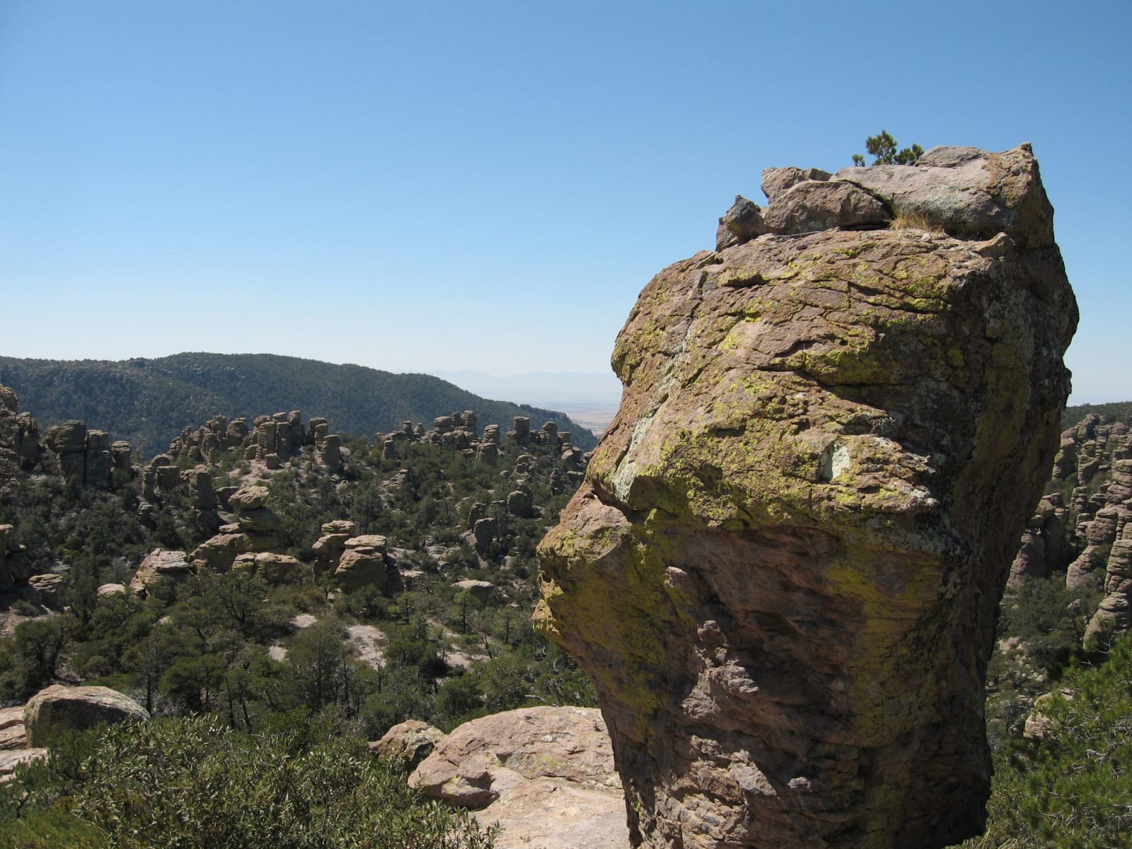
The Chiricahua Apache called it the Land of the Standing-Up Rocks, and it was homeland and fortress both. This corner of southeastern Arizona — a sky island of rhyolite pinnacles rising straight out of the desert — is where Cochise held out against the U.S. Army for over a decade, and where Geronimo's people used the maze of canyons and balanced stone for cover until the Apache Wars finally ended in 1886 with the band's forced exile to Florida. The mountains still carry the people's name, and the monument treats that history as central, not incidental: this was Chiricahua ground long before it was scenery.
The rock is the product of a single catastrophe. Twenty-seven million years ago the Turkey Creek Caldera, eight miles south, erupted with something like a thousand times the force of Mount St. Helens, burying twelve hundred square miles under as much as two thousand feet of white-hot ash. The ash welded itself into rhyolite tuff, cracked into a grid of vertical joints as it cooled, and eroded down the ages into the wilderness of columns, spires, and impossibly balanced boulders that a homesteader's daughter later named the Wonderland of Rocks.
That homestead is the last layer. Swedish immigrants Neil and Emma Erickson settled Bonita Canyon in the 1880s, and their daughter Lillian and her husband ran it as the Faraway Ranch, guiding guests into the pinnacles and campaigning to protect them; President Coolidge made it a national monument in 1924. The Faraway ranch house still stands and can be toured. But the rocks are the reason to come — miles of trail winding between stone towers in a sky island where the Sonoran and Chihuahuan deserts meet the Rockies and the Sierra Madre, and the standing rocks keep the watch they always have. It lies well east of the silver towns, past Tombstone, close to the New Mexico line.
Visitor Info
On the Map
A story featuring this place
Go deeper into the history and character of this stop
Nearby
The closest stops worth working into your route
Historical markers nearby
Roadside plaques and monuments within a short detour