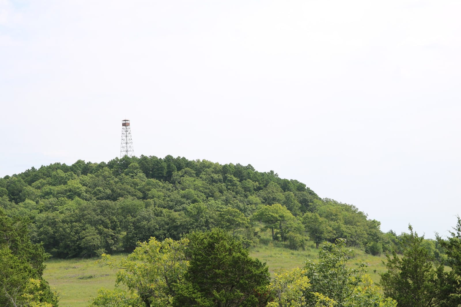
 U.S. Forest Service / public domain via Wikimedia Commons
The Story
A glade, in the old sense of the word, is an opening in the woods filled with sunlight, and the Glade Top Trail runs 23 miles along ridgetops through some of the largest glades under conservation management in the United States. Mark Twain National Forest has more than 44,000 acres of glades, and the Ava area has 26,708 of them. Here they sit on dolomite, which makes shallow, rocky, calcium-rich soil for warm-season grasses and drought-hardy wildflowers, and some of Missouri's rarest plants grow only on glades. With almost no shade they behave like deserts, and roadrunners, collared lizards, tarantulas and scorpions live on them. The Forest Service keeps 8,709 acres in restoration with prescribed fire.
The road is little changed from the two-lane, all-weather gravel road the Civilian Conservation Corps built in the late 1930s, following narrow ridges about 500 feet above the rolling country. Seven overlook pull-outs look northwest twenty miles to the Springfield Plateau and south forty miles to the Boston Mountains in Arkansas. Stop 5, the Caney day-use area, sits by the CCC-era Caney fire lookout tower complex.
From Ava, take Highway 5 south three miles to Highway A, go west four miles to Smallett, then south on A-409 to Hayden Park, the first stop. Forest Road 147 continues to Longrun, or Forest Road 149 runs on to Highway 125. No stop has drinking water, none charges a day-use fee, and ATVs and UTVs need a county permit.
Visitor Info
On the Map
Nearby
The closest stops worth working into your route
Historical markers nearby
Roadside plaques and monuments within a short detour