The El Paso Mission Trail: Ysleta to San Elizario
About eight miles on Socorro Road, FM 258, from the Ysleta Mission and the Tigua cultural center past the Socorro Mission to the presidio chapel at San Elizario.
The Route at a Glance
Below El Paso the valley of the Rio Grande widens into farmland, and Socorro Road, FM 258, runs through it from Ysleta to Socorro and San Elizario. It is the designated Mission Trail and a segment of El Camino Real de Tierra Adentro, the royal road from Mexico City to Santa Fe, designated a National Historic Trail in 2000. The drive is about eight miles, under half an hour without stops, and El Paso & the Pass of the North covers the city around it. The two mission churches and the chapel belong to the Catholic Diocese and serve their parishes, so visit quietly and outside services.
Ysleta del Sur Pueblo is a sovereign nation inside the city, the Tigua, whose people came south after the Pueblo Revolt of 1680 and founded the Pueblo in 1682. That history is the Pueblo's own to tell, and it tells it at the Tigua Indian Cultural Center on Yaya Lane; go as a guest and ask before taking photographs. The Ysleta Mission, whose silver dome marks it from the road, is the church the Tigua have always called San Antonio's. Ysleta itself was the county seat from 1873 until a disputed election in 1883.
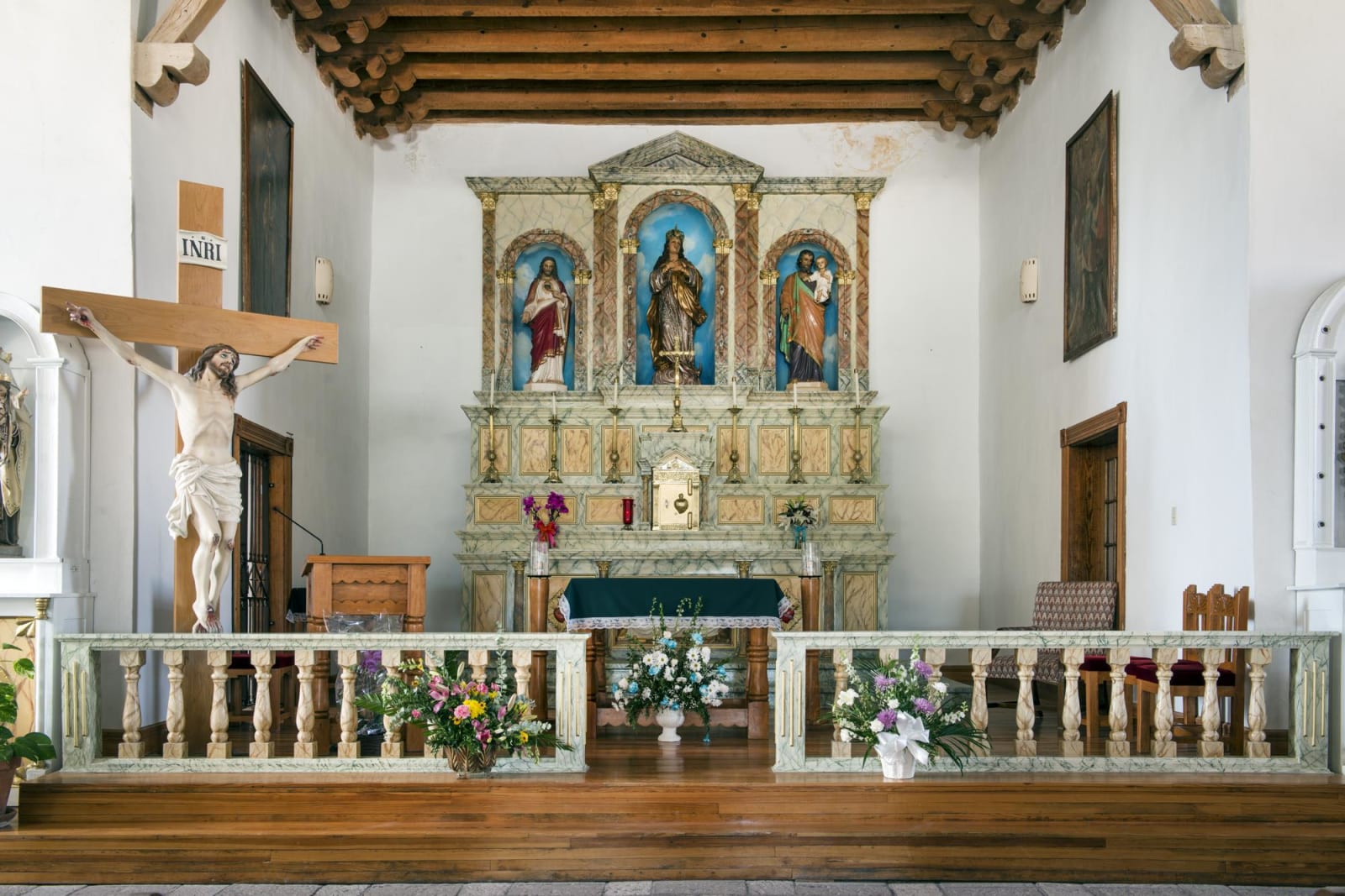
Socorro Road runs southeast through fields watered by acequias. In the early 1830s the river cut a new channel south of its old one and left Ysleta, Socorro and San Elizario on an island some twenty miles long. The Socorro Mission is an adobe church finished in 1843 for a town founded by Piro and other refugees of 1680, whose departure from the first Socorro is told up the river in New Mexico. Between 1998 and 2005 its walls were stripped of cement and replastered in mud and lime.
The road ends at San Elizario, where Spain kept a presidio and the white chapel on the plaza, built in 1877, is often taken for a mission. Oñate's colonists of 1598 stopped near here before they went upriver to cross. San Elizario was the county seat until 1873, and in 1877 it saw the end of the Salt War, a fight over the salt flats below the Guadalupe Mountains that closed with a siege of the Texas Rangers in town. In 1881 the railroad passed San Elizario by for El Paso, and the town declined.
The Drive, Stop by Stop
4 stops along the route, in driving order from Ysleta Mission, El Paso, Texas to San Elizario, Texas.
- 1
- 2
- 3
- 4
That's the drive. Take your time, pull over often, and let The El Paso Mission Trail: Ysleta to San Elizario do what it does best.
← Explore more of Open Road Guide