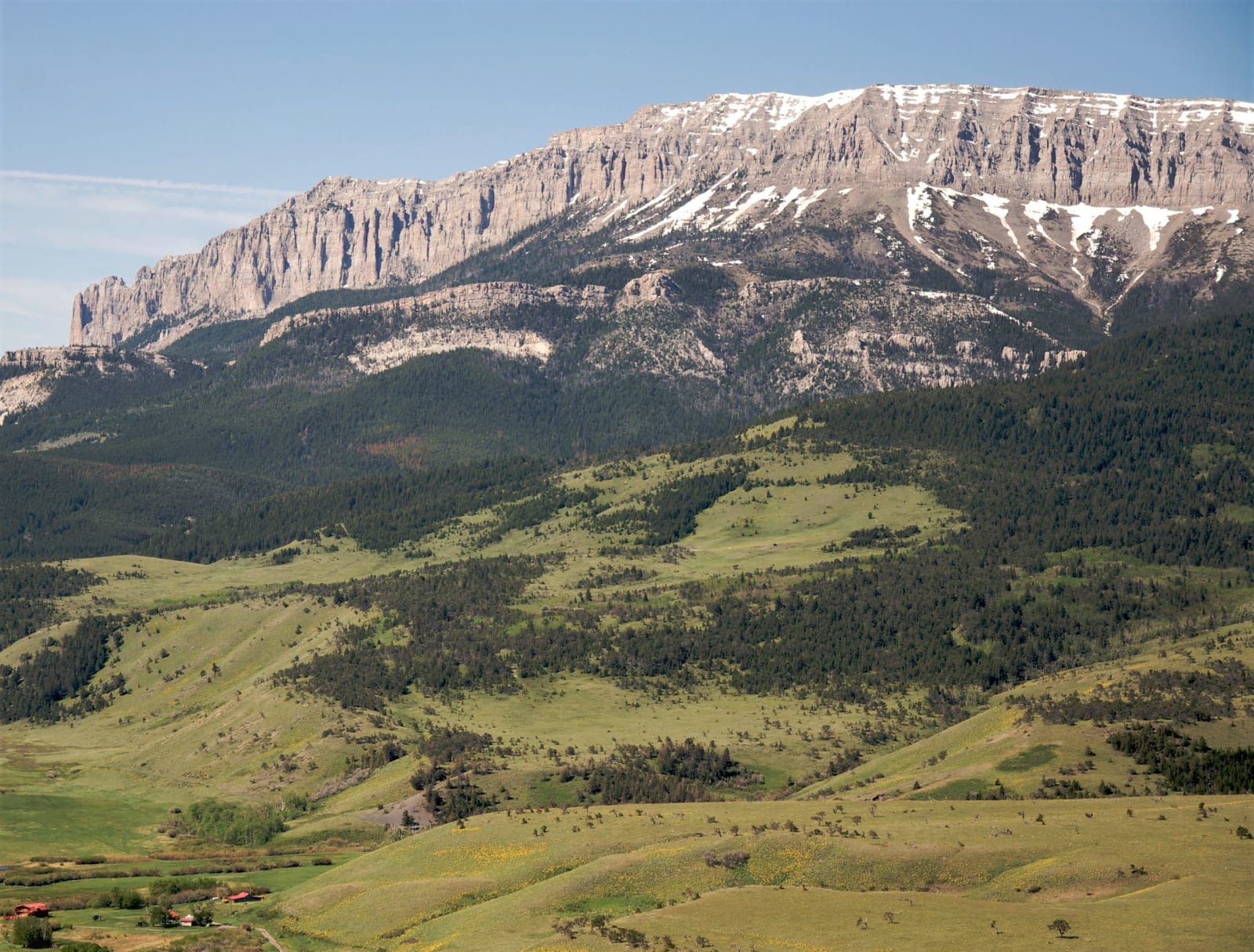
The Rocky Mountain Front & the Upper Missouri
Amskapi Piikani country: the mountains the Blackfeet sold to survive, the Great Falls portage, Fort Benton's steamboat levee, and the Maiasaura nests near Choteau.
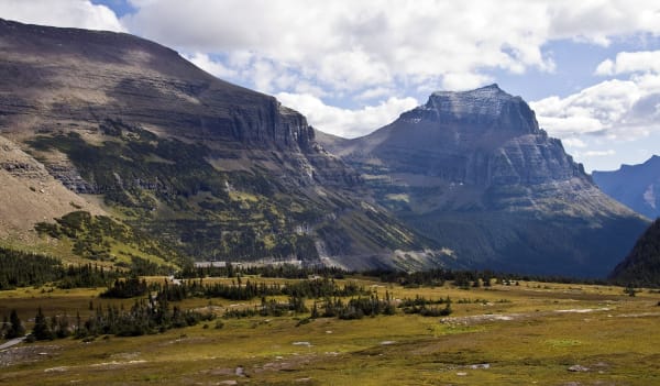
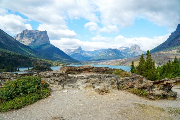
The Amskapi Piikani, the Blackfeet of Montana, call the Rockies the Backbone of the World. In the winter of 1883 into 1884, with the buffalo gone and government rations short, some six hundred of them starved to death, about a quarter of the tribe. In September 1895 federal commissioners came to the agency to buy the mountains. The Blackfeet asked $3 million, were bargained down to $1.5 million, and on September 26 signed away 800,000 acres along the Front, keeping the right to hunt, fish and gather there. In 1910 most of it became the eastern half of Glacier National Park. To the south lies the Badger-Two Medicine, ground the nation holds sacred and has fought for decades to keep the drill rigs out of.
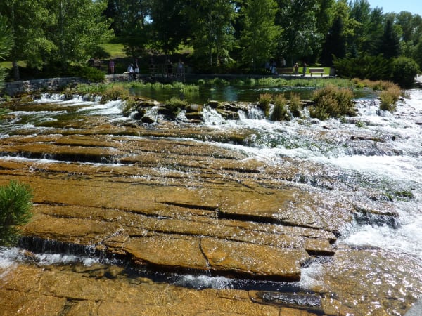
East of the mountains the Missouri drops off the plains. Meriwether Lewis heard the first of its five great falls on June 13, 1805, and the expedition spent from June 21 to July 2 dragging its canoes eighteen miles around them on homemade wagons. Dams have since quieted the falls, and the city of Great Falls has grown up beside them. Downstream, the first steamboat tied up at Fort Benton on July 2, 1860, and for thirty years the town was the head of navigation for a whole territory, freight landing on the levee and rolling out by wagon. Below it the river runs through the Missouri Breaks, much as the expedition saw them.
In 1978 Marion Brandvold, who kept a rock shop at Bynum, picked up tiny bones in the hills near Choteau. They were baby duck-billed dinosaurs, still in their nests, the first dinosaur nests found in the Western Hemisphere. Jack Horner and Bob Makela named the animal Maiasaura, the good mother lizard, and in 1985 it became the state fossil.
What to See in The Rocky Mountain Front & the Upper Missouri
10 places across the region, grouped by what they are.
Natural Areas
Historic Sites
Towns & Gateways
Architecture
Roadside Stops
Scenic Drives through The Rocky Mountain Front & the Upper Missouri
Going-to-the-Sun Road: West Glacier to St. Mary
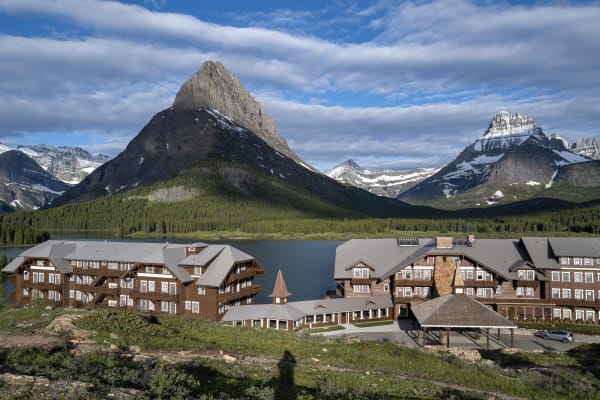
Fifty miles across Glacier National Park: Lake McDonald, the Loop, the Garden Wall and Logan Pass, then down past Jackson Glacier to St. Mary Lake and the Blackfeet Reservation.
US-89: The Rocky Mountain Front
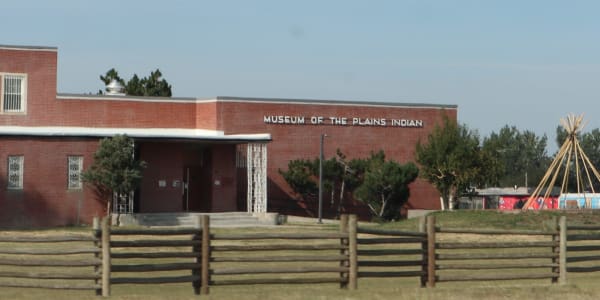
Browning to Augusta along the edge of the Rockies: the Museum of the Plains Indian, grizzly country at Pine Butte, and A. B. Guthrie Jr.'s Choteau under Ear Mountain.
Stories from The Rocky Mountain Front & the Upper Missouri
Waiting for a Chinook
In the winter of 1886-87 a young cowhand answered a rancher's letter with a watercolor of a starving steer. The warm wind it waited for still pours off the Front, and it has set temperature records no other place has matched.
The Last of the Buffalo Outfit
In 1886 the Smithsonian sent its chief taxidermist to eastern Montana to shoot some of the last wild bison before there were none. He came home a conservationist, and the six he mounted are back in Montana.
The Rocky Mountain Front & the Upper Missouri rewards the unhurried. Pick a base, fan out, and let the country between the headline stops surprise you.
← Explore more of Open Road Guide