Pierre & the Missouri River Lakes
The capital on the Missouri, the hill where the Vérendrye plate was buried, the Bad River meeting of 1804, and the dammed lakes that drowned reservation bottomlands.
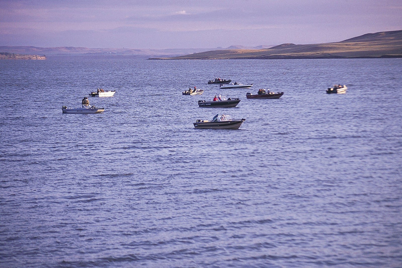
Through most of South Dakota the Missouri is a chain of lakes. Between the late 1940s and the 1960s the Army Corps of Engineers built four main-stem dams in the state under the Pick-Sloan plan, and the reservoirs behind them, Lake Oahe above all, flooded the timbered bottomlands where the Lakota and Dakota nations along the river lived. Cheyenne River lost more than 100,000 acres to Oahe alone. The agency towns of Cheyenne River, Lower Brule and Fort Thompson, on Crow Creek, all went under and were rebuilt on the bluffs.
Pierre, the capital, faces Fort Pierre across the river at the mouth of the Bad River. On a hill above Fort Pierre in March 1743 the Vérendrye brothers buried a lead plate claiming the country for France, and in February 1913 three schoolchildren dug it up; it is in the state museum in Pierre. At the same river mouth in September 1804 Lewis and Clark met the Lakota, and the meeting came within a moment of a fight.
Downstream at Chamberlain, St. Joseph's Indian School runs the Akta Lakota Museum, and on the bluff above the river stands Dignity, a fifty-foot steel figure of a Native woman wrapped in a star quilt.
What to See in Pierre & the Missouri River Lakes
5 places across the region, grouped by what they are.
Historic Sites
Towns & Gateways
Architecture
Industry & Mining
Scenic Drives through Pierre & the Missouri River Lakes
I-90: Sioux Falls to the Badlands
About 378 miles across South Dakota on I-90 from the falls of the Big Sioux to the edge of the Black Hills: the Corn Palace, Dignity above the Missouri, a car museum in Murdo, a Minuteman silo, the Badlands Loop and the free ice water at Wall.
The Missouri: Chamberlain to Mobridge
About 225 miles up the Missouri through the reservations of the river nations, from Dignity and the Akta Lakota Museum at Chamberlain past Big Bend Dam, the capital and the Vérendrye plate's hill to Oahe Dam and Sitting Bull's grave across from Mobridge.
Stories from Pierre & the Missouri River Lakes
The Lakes That Came Up the River
Between the 1940s and the 1960s the Pick-Sloan dams turned the Missouri in the Dakotas into a chain of reservoirs. The bottomlands they drowned were the best land the river nations had left.
Five Calves on the Grand River
The bison that block the road in Custer State Park descend from five calves roped on the northern plains in the early 1880s, when the great herds were all but gone.
Pierre & the Missouri River Lakes rewards the unhurried. Pick a base, fan out, and let the country between the headline stops surprise you.
← Explore more of Open Road Guide