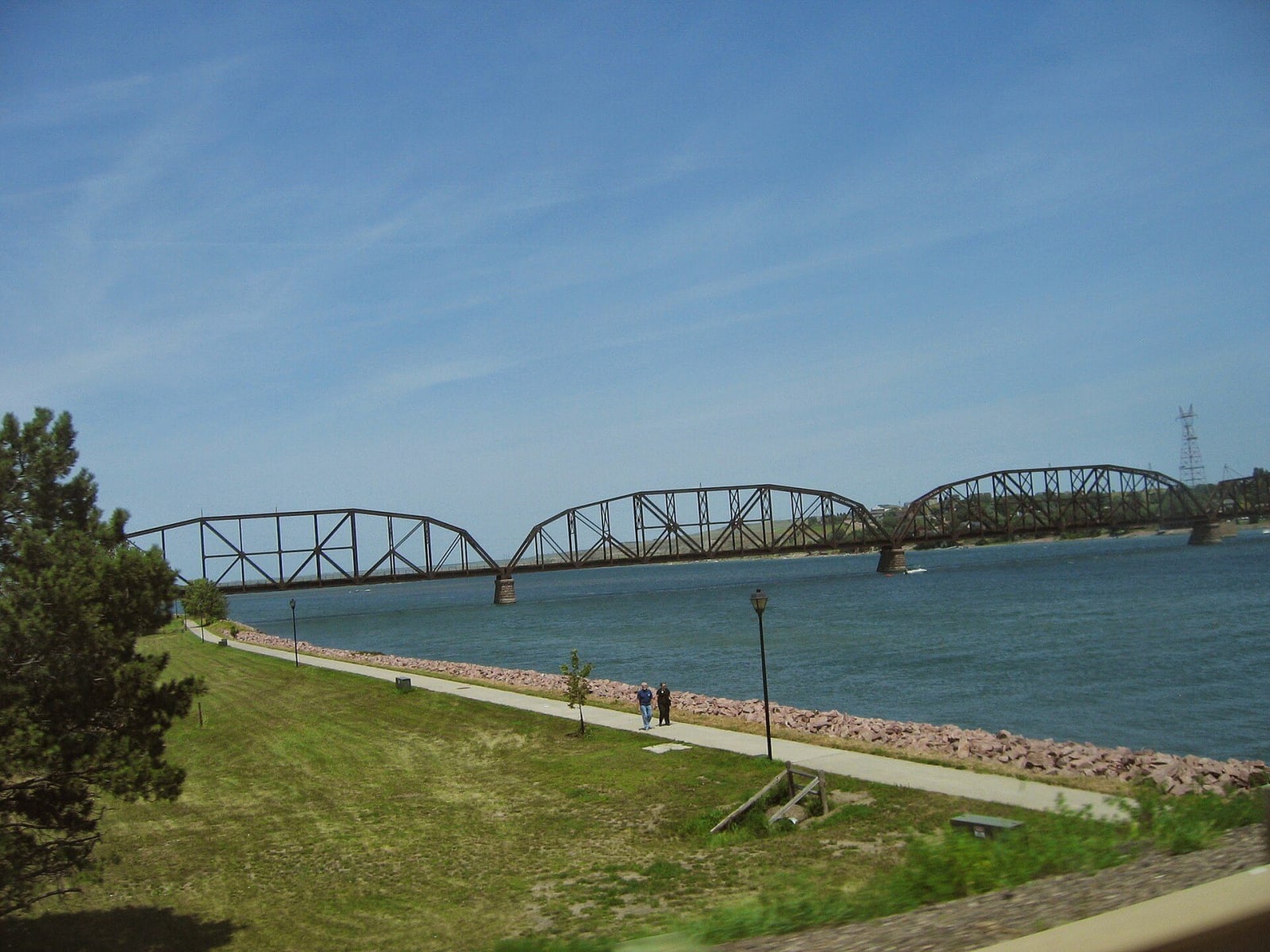
The Missouri: Chamberlain to Mobridge
About 225 miles up the Missouri through the reservations of the river nations, from Dignity and the Akta Lakota Museum at Chamberlain past Big Bend Dam, the capital and the Vérendrye plate's hill to Oahe Dam and Sitting Bull's grave across from Mobridge.
The Route at a Glance
Through most of South Dakota the Missouri is no longer a river but a string of reservoirs, and this drive follows it upstream past the dams and through the country of the nations whose bottomlands went under them. It is the slow way north, on two-lane roads that keep close to the water.
It starts above the river at Chamberlain with Dignity of Earth and Sky, the steel Lakota woman on the bluff, and in town the Akta Lakota Museum, on the campus of a Catholic boarding school for Lakota children founded in 1927. SD-50 and SD-34 run north up the east side of Lake Francis Case to Fort Thompson, the government seat of the Crow Creek Sioux Tribe, rebuilt after the reservoir flooded the old town. Big Bend Dam crosses the river there, backing up Lake Sharpe, and the Lower Brule Reservation lies across the water.
SD-34 runs on through open ranch country to Pierre, where the State Capitol stands under its copper dome beside an artesian lake with a gas flame burning in it. Across the bridge in Fort Pierre a short climb reaches the Verendrye Monument, the hilltop where French explorers buried a lead plate in 1743 and three children found it in 1913, above the mouth of the Bad River where Lewis and Clark met the Lakota in 1804.
North of town SD-1804, numbered for the year the expedition came upriver, leads to Oahe Dam, the rolled-earth wall that holds back Lake Oahe for more than 230 miles. The route runs north from there on US-83 through the high plains east of the lake, crosses to the river at Mobridge on US-12, and turns south down the west bank on SD-1806 onto the Standing Rock Reservation. On a bluff looking back across the water to Mobridge it ends at the Sitting Bull and Sakakawea Monuments, where Sitting Bull's remains, or what were taken for them, were reburied in 1953 under a granite head.
The drive runs about 225 miles and five hours without stops. Services are sparse between Pierre and Mobridge. The reservations along the way are home to sovereign nations; their powwows and museums welcome visitors, and the land beside the road is mostly private or tribal.
The Drive, Stop by Stop
6 stops along the route, in driving order from Chamberlain, South Dakota to Mobridge, South Dakota.
- 1
- 2
- 3
- 4
- 5
- 6
That's the drive. Take your time, pull over often, and let The Missouri: Chamberlain to Mobridge do what it does best.
← Explore more of Open Road Guide