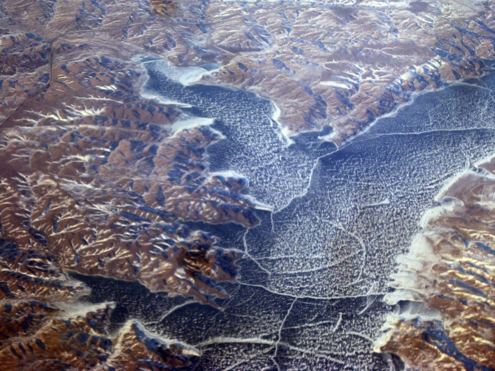
For all of human history in the Dakotas, the Missouri bottomland was the place to live. The valley floor below the bluffs held timber for fuel and building, fruit and game, and soil good enough to farm, sheltered from the wind that scours the plains above. When the reservations were drawn, the river nations kept their homes along it. By the middle of the twentieth century the bottoms were the best land they had left.
The plan
The Flood Control Act of 1944 merged two rival schemes for the Missouri, the Army Corps of Engineers' plan for flood control and navigation and the Bureau of Reclamation's plan for irrigation, into one, known after their authors as Pick-Sloan. It called for a chain of huge earthen dams down the main stem. Four of them went up in South Dakota, Oahe, Big Bend, Fort Randall and Gavins Point, with Garrison upstream in North Dakota, and their reservoirs filled across the 1950s and 1960s.
What went under
Five of those dams flooded the land of seven reservations, some 356,000 acres in all, nearly every acre of the river bottoms the nations held. The Cheyenne River Sioux Tribe lost more than 104,000 acres to Oahe and the Standing Rock Sioux Tribe some 56,000. Fort Randall and Big Bend took tens of thousands of acres from Crow Creek and Lower Brule. The agency towns went under with the land: Cheyenne River Agency, Lower Brule, and Fort Thompson on Crow Creek were all flooded and rebuilt, the agency headquarters on Cheyenne River moving out onto the plains at Eagle Butte. Families who had farmed and gathered in the timber were moved up onto the treeless uplands. The historian Michael Lawson, who wrote the standard account of it, concluded that Pick-Sloan did more damage to Native land than any other public works project in the country.
The nations were paid, in settlements negotiated in the 1950s that valued the land at a fraction of what it meant to them. Many people believed for years that they had been cheated, and in the 1990s and 2000s Congress agreed, setting up recovery funds to compensate the tribes more fully: $27.5 million for Crow Creek and $39.9 million for Lower Brule in 1996, and $290.7 million for Cheyenne River in 2000, among others.
The reservoirs
The lakes brought power, flood control, irrigation, and a sport-fishing economy of walleye, salmon and marinas. Driving the river today means driving along water that did not exist seventy years ago. Oahe Dam above Pierre holds back the largest of them in South Dakota. Upstream, the fear that Oahe's water would reach Sitting Bull's grave at Fort Yates was part of why his remains were moved to the bluff across from Mobridge in 1953. At Eagle Butte, the Lakota Cultural Center stands in the town where the Cheyenne River nation rebuilt its government after its old home went under.