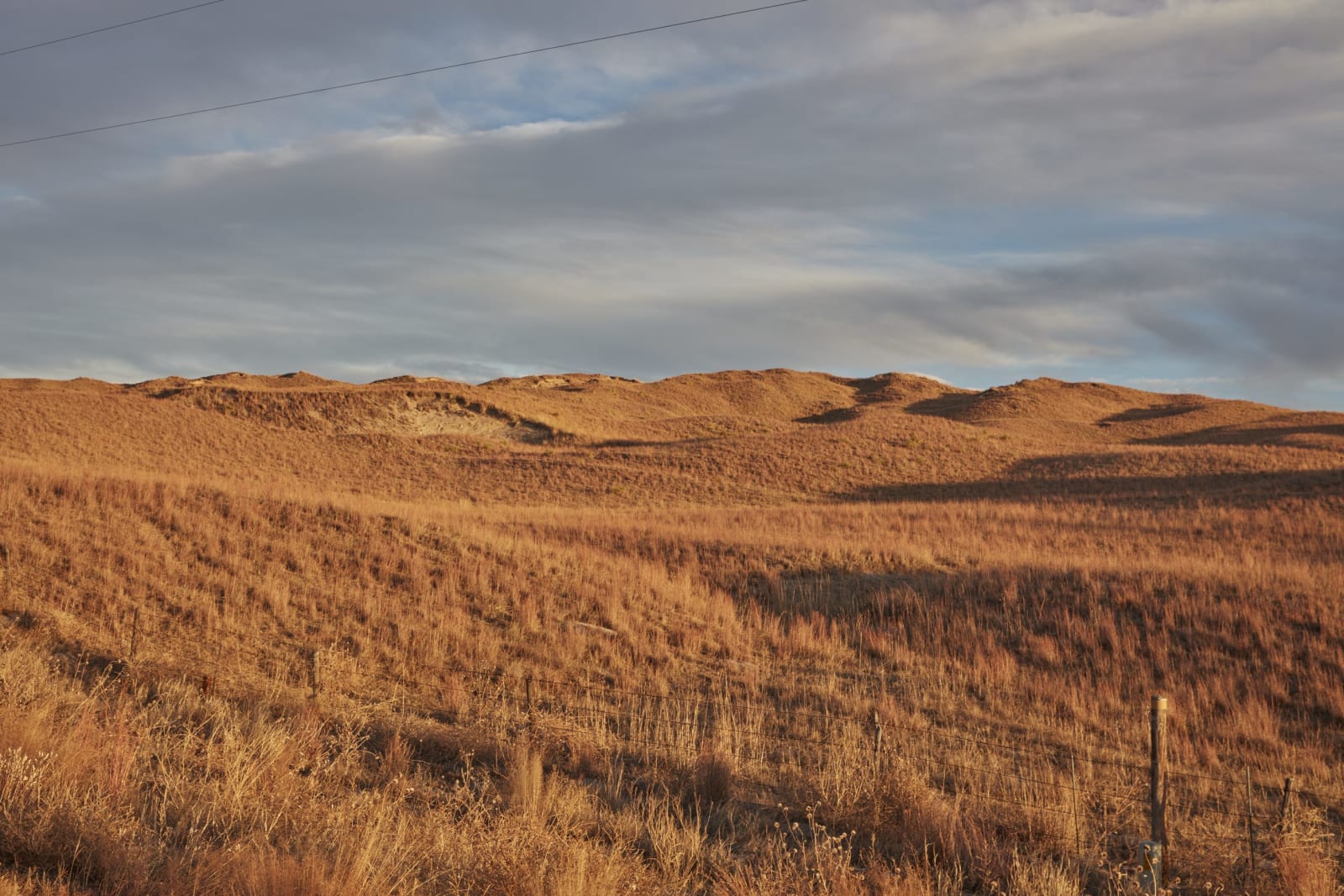
The Sandhills
Grass-held dunes, Smith Falls on the Niobrara, Fort Niobrara's bison, the hand-planted forest at Halsey, Fort Hartsuff and a straw-bale church at Arthur.
The Sandhills cover about a quarter of Nebraska, some 20,000 square miles of dunes now held by grass, though some were moving as recently as about a thousand years ago, the largest system of sand dunes in the Western Hemisphere. Rain sinks into the sand instead of running off and feeds the High Plains Aquifer, which is why lakes and wet meadows lie between the dunes. It is cattle country. Ranching spread after the Kinkaid Act of 1904, and most homesteaders who tried to farm it failed.
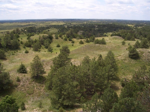
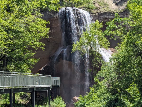
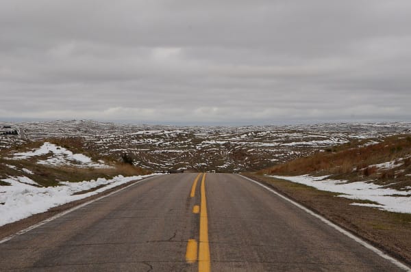
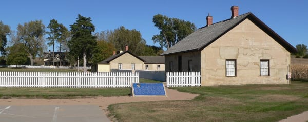
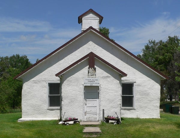
The region divides into three drives. Nebraska Highway 2, the 272-mile Sandhills Journey Scenic Byway, runs through the middle past the hand-planted Nebraska National Forest at Halsey and on toward Arthur, where a church of baled rye straw has stood since 1928. On the northern edge, US 20 reaches Valentine and the Niobrara, where Smith Falls drops 63 feet into a canyon that still shelters paper birch from the Ice Age. To the southeast, in the Loup valleys, Fort Hartsuff keeps its 1870s lime-concrete buildings.
This was Lakota and Pawnee country, and the two nations fought over it. Fort Niobrara went up in 1880 to watch Spotted Tail's Sicangu Lakota on the Rosebud reservation to the north. Fort Hartsuff was built in 1874 to guard the North Loup, the raiding road toward the Pawnee villages, in the same autumn the Pawnee agreed to give up their reservation.
What to See in The Sandhills
6 places across the region, grouped by what they are.
Natural Areas

Historic Sites
Architecture
Scenic Drives through The Sandhills
NE-12: The Outlaw Trail, Valentine to Ponca
About 226 miles on NE-12 along Nebraska's north edge from Valentine to Ponca: Fort Niobrara and Smith Falls, Springview, the Ponca museum, a river town moved twice, the Santee reservation and the bluffs at Ponca State Park.
NE-2: The Sandhills Journey, Grand Island to Alliance
About 277 miles on NE-2 from Grand Island to Alliance: the Stuhr Museum, Butcher's homesteader photographs at Broken Bow, the Middle Loup, the planted forest at Halsey, the Spade's town and the potash ruins at Antioch.
Stories from The Sandhills
Chadron to Chicago
In 1893 a joke planted in eastern newspapers turned into a thousand-mile horse race from a Pine Ridge railroad town to Buffalo Bill's arena at the Chicago World's Fair, and its result is still argued.
The Dunes and the Water Beneath
The grass-covered Sandhills were blowing sand within the last thousand years, and the same loose sand that moved so easily is what lets the rain sink into the largest share of the High Plains Aquifer.
The Sandhills rewards the unhurried. Pick a base, fan out, and let the country between the headline stops surprise you.
← Explore more of Open Road Guide