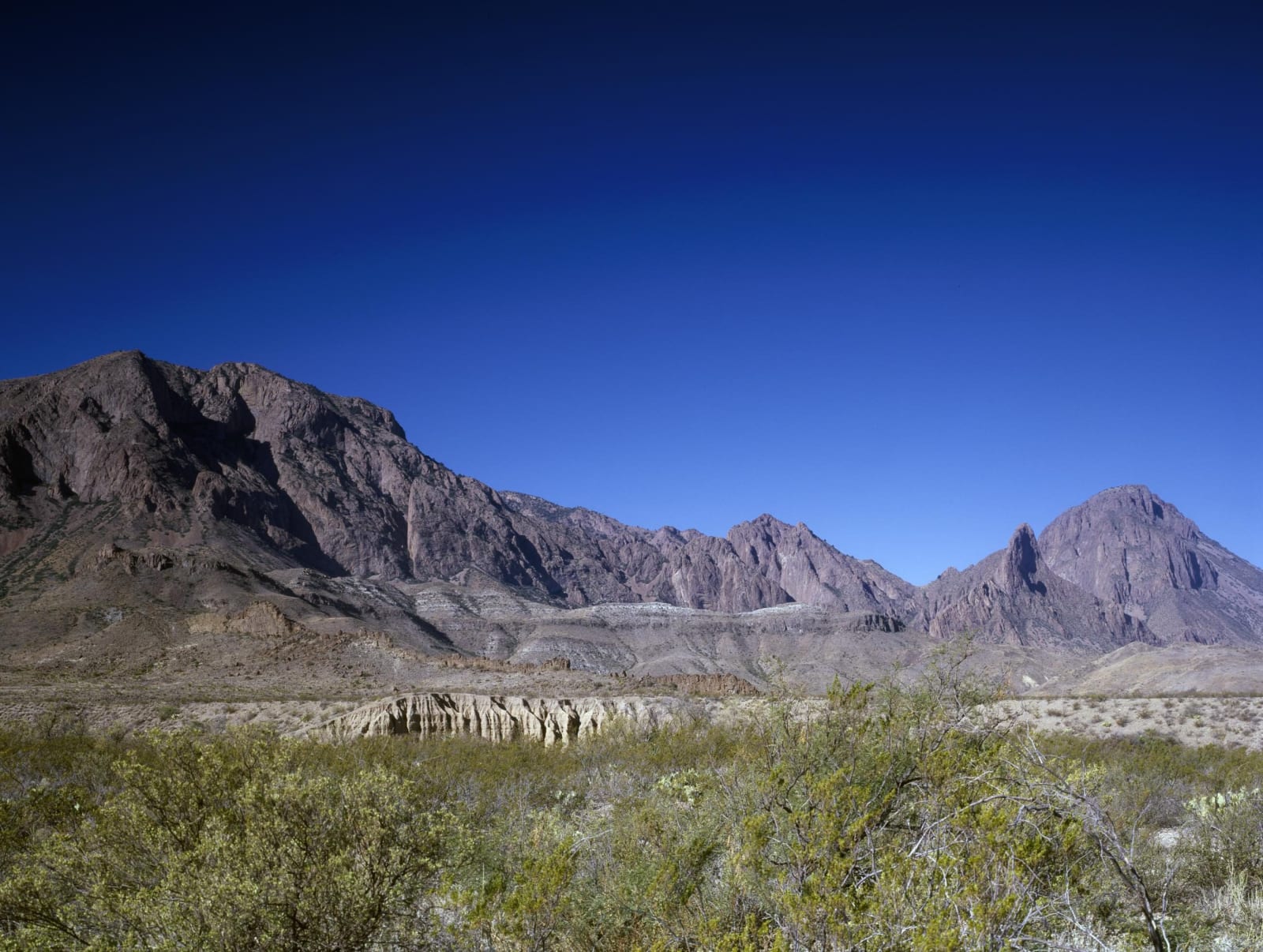
The jagged peaks of the Chisos Mountains rising above green desert scrub in Big Bend National Park under a dark blue sky.
Carol M. Highsmith / public domain via the Library of Congress
Texas · Region

Big Bend, Marfa & Alpine

Big Bend National Park and the Chisos, the river road through Big Bend Ranch, Terlingua, Fort Leaton and Presidio, Alpine's Museum of the Big Bend and Marfa and its lights.

11 places to explore

The Rio Grande swings through a long bend here, around the emptiest country in Texas. Big Bend National Park, opened in 1944, covers more than 1,250 square miles of the Chihuahuan Desert, with the Chisos Mountains in the middle and the river cutting Santa Elena, Mariscal and Boquillas canyons along its edge. Roads lead to the Chisos Basin, to Castolon's old store and army camp, and to Santa Elena Canyon. At Boquillas a port of entry lets visitors with passports cross by rowboat to the Mexican village.

West of the park, Terlingua was a quicksilver mining town, and FM 170 follows the river past Lajitas through Big Bend Ranch State Park, the largest park in the state system, to Presidio. Farmers have worked the river bottom where the Rio Conchos joins the Rio Grande since long before the Spanish came, and Jumano people lived there. Ben Leaton's adobe fort of 1848 stands on the bluff below Presidio.

The towns are up on the high plain to the north. Alpine has Sul Ross State University and the Museum of the Big Bend. Marfa began in 1883 as a railroad water stop, drew the makers of Giant in 1955 and later the artist Donald Judd. East of town on US-90, a state viewing center looks out over the flat where people have watched the Marfa lights since the 1880s.

What to See in Big Bend, Marfa & Alpine

11 places across the region, grouped by what they are.

Geology & Rock Formations
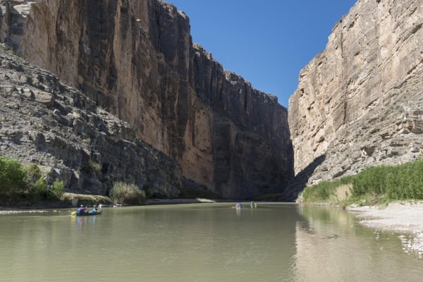
The Rio Grande flowing out of Santa Elena Canyon between sheer limestone walls, with paddlers on the water.

Santa Elena Canyon

Castolon

The Rio Grande's 1,500-foot-deep slot through limestone at the west end of Big Bend National Park, reached by a short trail at the end of the Ross Maxwell Scenic Drive.

View details →

Natural Areas

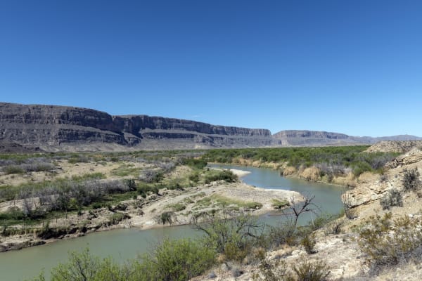
The Rio Grande curving through green brush below pale limestone bluffs in Big Bend National Park, under a clear blue sky.

Big Bend National Park

Study Butte

More than 1,250 square miles of Chihuahuan Desert, the Chisos Mountains and the canyons of the Rio Grande, opened in 1944 as the first national park in Texas.

View details →
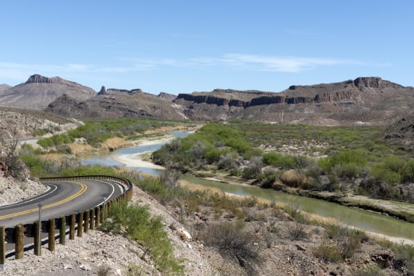
River Road FM 170 winding beside the Rio Grande in Big Bend Ranch State Park, with desert hills and mesas beyond.

Big Bend Ranch State Park

Lajitas

The largest park in the Texas system, more than 300,000 acres of volcanic desert and river canyon west of Big Bend, bought from a working ranch in 1988.

View details →
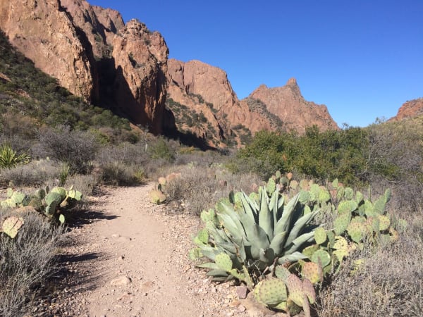
The Window Trail descending through agave and prickly pear toward the rock walls of the Chisos Mountains in Big Bend National Park.

Chisos Basin

Study Butte

The mountain bowl at the heart of the Chisos, with the park's only lodge, the Window pour-off and trails to Emory Peak, closed for rebuilding since May 2025.

View details →

Historic Sites

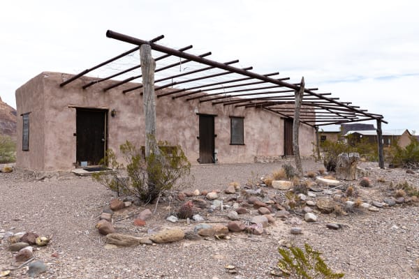
A small adobe house with a wooden ramada and stone-edged yard at the Castolon Historic District in Big Bend National Park.

Castolon Historic District

Castolon

An army camp built in 1919 for the Mexican Revolution and never really used, which became La Harmonia's trading post for families on both sides of the river until 1961.

View details →
The thick tan adobe walls of Fort Leaton near Presidio, with projecting roof beams and a heavy wooden door.

Fort Leaton State Historic Site

Presidio

The adobe trading post on the Rio Grande below Presidio, where digging has rewritten the stories told about it and a self-guided walk leads through its rebuilt rooms.

View details →
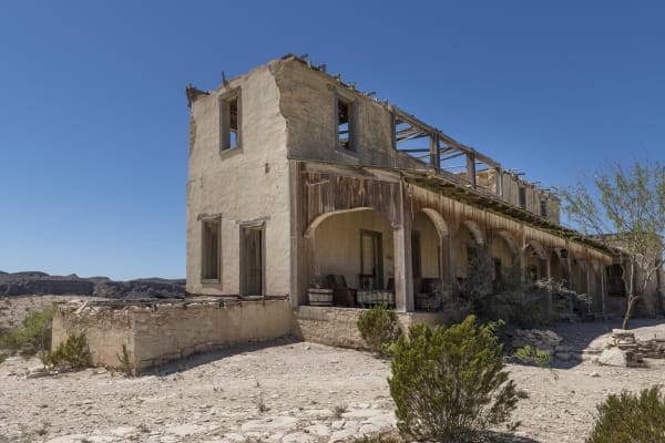
The roofless stone and adobe ruins of an old two-story building with a columned porch in the Terlingua ghost town.

Terlingua Ghost Town

Terlingua

The stone shells of the Chisos Mining Company's quicksilver camp west of Study Butte, where a Chicago owner made a fortune from a mine he seldom came to see.

View details →

Towns & Gateways

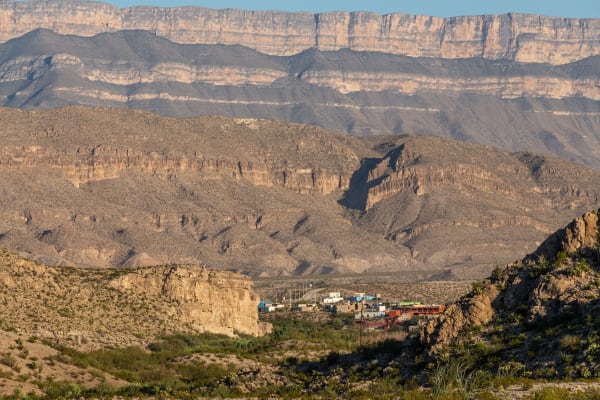
The village of Boquillas del Carmen in a desert valley below layered cliffs of the Sierra del Carmen, seen from the Texas side.

Boquillas Crossing Port of Entry

Rio Grande Village

The Big Bend port of entry opened in 2013, where visitors with passports cross the Rio Grande by rowboat ferry to the village of Boquillas del Carmen, Coahuila.

View details →
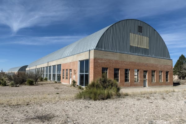
The arched metal roof and long brick walls of the Chinati Foundation headquarters building in Marfa, set among desert grasses.

Chinati Foundation

Marfa

Donald Judd's museum on the grounds of old Fort D. A. Russell in Marfa, where art, buildings and land are meant to be seen together, by guided tour.

View details →

Museum of the Big Bend

Alpine

The museum of the Big Bend region and northern Mexico on the Sul Ross State University campus in Alpine, back since 2007 in its native-stone building of 1937.

View details →

Architecture

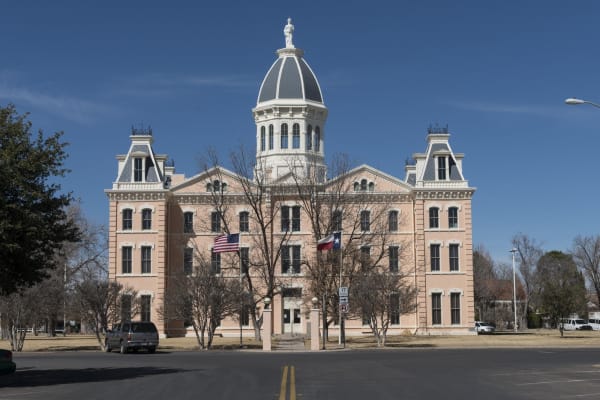
The domed Second Empire Presidio County Courthouse in Marfa, built of pink brick with a statue atop its cupola.

Presidio County Courthouse

Marfa

Marfa's domed courthouse of 1886, a Second Empire landmark finished in time for a New Year's ball, its statue of Justice still missing the scales someone shot away.

View details →

Big Bend, Marfa & Alpine rewards the unhurried. Pick a base, fan out, and let the country between the headline stops surprise you.

← Explore more of Open Road Guide