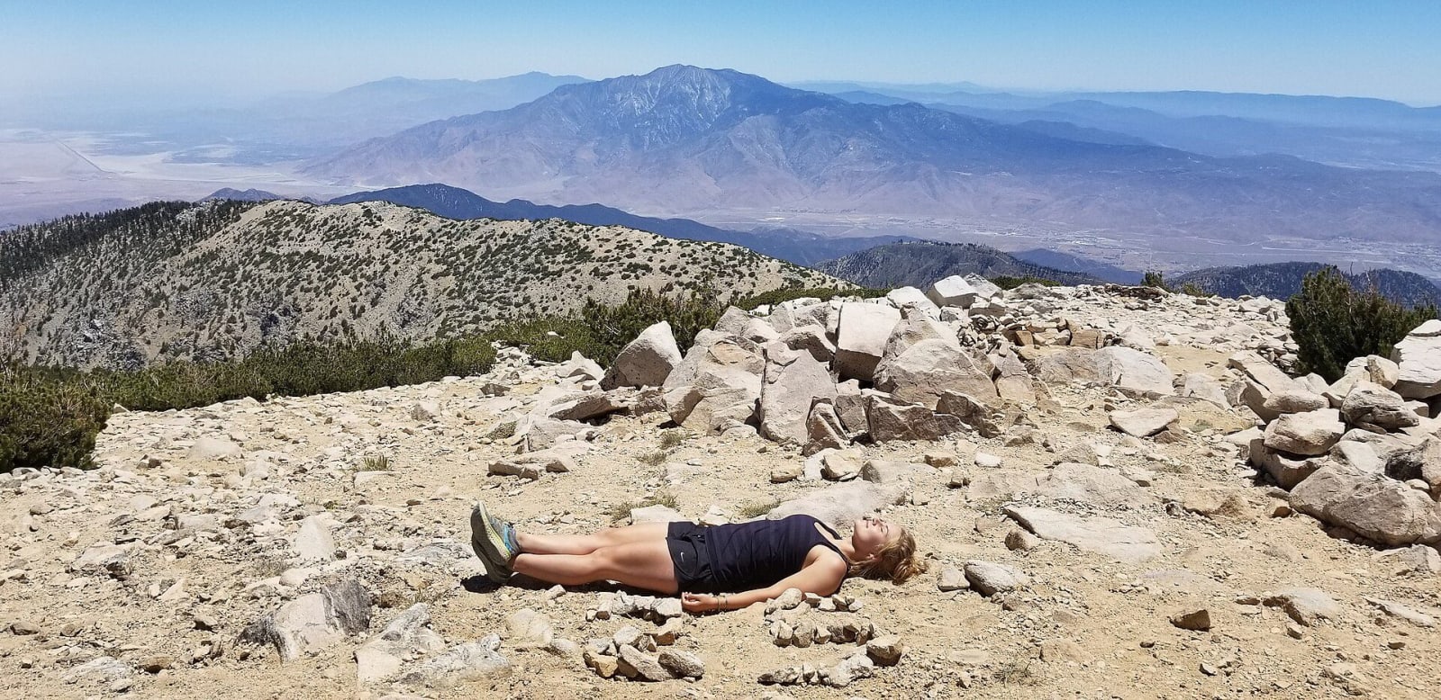
 Chelsea.brisson.423 / CC BY-SA 4.0 via Wikimedia Commons
The Story
At 11,503 feet San Gorgonio is the high point of Southern California and of the Transverse Ranges, and it is the only mountain in the southern half of the state whose summit rises well above the tree line. That is why its snow reads from far out on the valley floor, and why the bare grey rock of it is recognisable at distance. People here called it Old Grayback long before the survey put the Spanish name on the 1899 topographic sheet; Spanish missionaries had named it for Saint Gorgonius in the early seventeenth century.
It is sacred ground. The Cahuilla know the mountain as Kwiria-Kaich, bald or smooth, and count it among the sacred peaks of this region. Other nations of Southern California hold it sacred under their own names, and the range around it is Maara'yam country.
Its numbers are unusual. The peak stands more than eight thousand feet above the ground that connects it to anything higher, which makes it the seventh most topographically prominent summit in the lower forty-eight. It also holds the longest confirmed line of sight in the contiguous United States: the summit can be seen from the top of Mount Whitney, a hundred and ninety miles away.
The first recorded ascent was in 1872, by W. A. Goodyear of the California Geological Survey with Mark Thomas of San Bernardino, coming up the Mill Creek side. Their line is roughly today's Vivian Creek trail, still the shortest way to the top and still something over five thousand feet of climbing. It is a long day by any route.
Protection came early and in pieces. A recreation area closed to road building in 1929, more ground added in 1931, and eventually the San Gorgonio Wilderness under the Wilderness Act of 1964, now within the Sand to Snow National Monument. Permits are required and quotas apply, so arrange that before you come.
Visitor Info
On the Map
Nearby
The closest stops worth working into your route
Historical markers nearby
Roadside plaques and monuments within a short detour