 Library of Congress / public domain via Wikimedia Commons
The Story
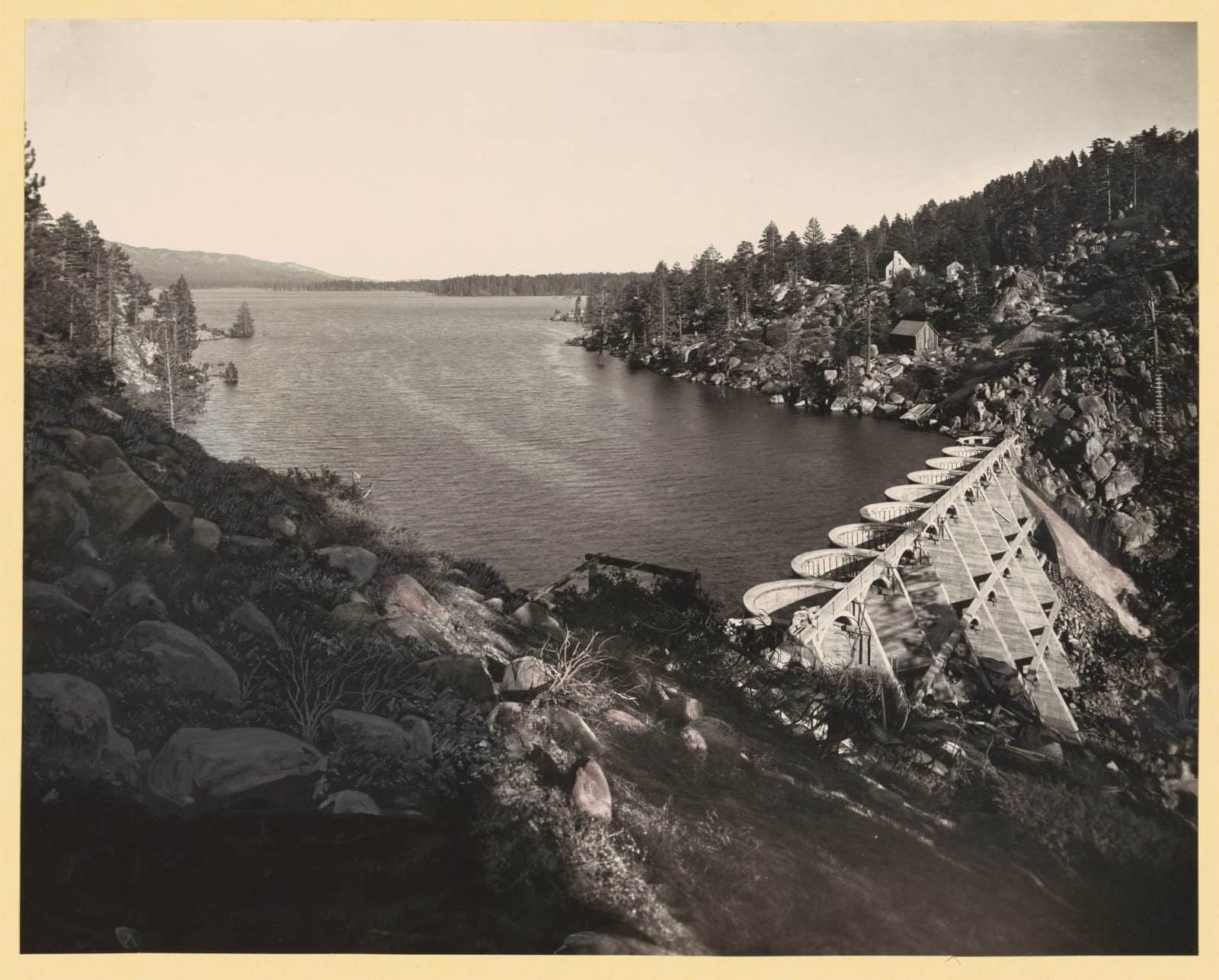
Big Bear Lake exists to water oranges. That is not a historical curiosity, it is still the legal position. Frank Brown's 1884 granite arch, marked just east of here, was built to irrigate Redlands, and when it proved too small the Bear Valley Mutual Water Company hired John Eastwood to replace it. Eastwood was the great American advocate of the multiple-arch dam, thin concrete arches carried on buttresses using a fraction of the material a solid gravity dam needs, and the one he finished here in 1912 stands about seventy-two feet high and holds better than 73,000 acre-feet, more than double the old lake. Highway 18 was carried across its arches in 1923; a bypass bridge took the traffic in 2009.
The trouble with an irrigation reservoir is that it is meant to rise and fall. Water is stored in the wet years and sent down in the dry ones, and the level follows the groves rather than the resort. Through the 1950s and 1960s the lake was drawn down far enough to be described as barely a puddle, which is ruinous for a town that sells boats.
So in 1964 the residents voted to create the Big Bear Municipal Water District for the express purpose of holding the water still. Thirteen years of litigation followed. The settlement of 1977 is the document that governs the lake today: the district bought the lake bottom, the dam itself, and the right to manage the surface for recreation and wildlife, for something on the order of four and a half million dollars. Bear Valley Mutual kept what it had always held, the storage rights and the water flowing in.
The split still bites. When the groves below turned into subdivisions, the district went to court in 1986 to stop Mutual converting irrigation water to domestic use and to make it help pay for repairs to the dam, and lost on both counts.
Stand on the crossing and Eastwood's arches are underneath you, the water upstream belongs to one company, and the surface of it belongs to another.
Visitor Info
On the Map
Nearby
The closest stops worth working into your route
Historical markers nearby
Roadside plaques and monuments within a short detour