Home / Arkansas / Bentonville, Fayetteville & Eureka Springs / Withrow Springs State Park
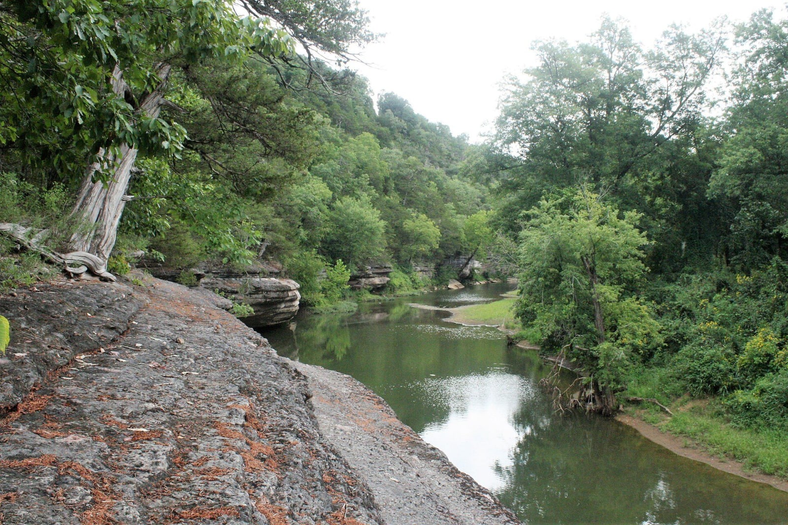
War Eagle Creek curves between a limestone ledge on the left and green woods on the right, with the water still and dark under cloud.Brandonrush / CC0 via Wikimedia Commons
🏕️Recreational

Withrow Springs State Park

Part ofBentonville, Fayetteville & Eureka Springs

A 54-degree spring that runs underground into War Eagle Cave and out to War Eagle Creek, on land Roscoe Hobbs gave the state in 1962, with float trips and an oak-hickory forest.

⏱
Duration
Two hours to a weekend.
🎟
Admission
No park entry fee is listed.
📅
Best Season
Spring and fall for floating War Eagle Creek; visitor center daily 8 a.m. to 5 p.m. March to November, shorter on winter weekends (state parks site, November 2026).

The Story

Withrow Spring comes out of a cliff at a constant 54 degrees and flows several hundred feet before it goes underground. It reappears inside War Eagle Cave and then runs on into War Eagle Creek. In the 1800s it was a common watering place for settlers and travelers. Richard Withrow, an early settler, came west from Tennessee in 1831 and set up one of the first gristmills in the area. He, his sons and their families homesteaded much of the surrounding land.

The park began with 320 acres, including the spring, and now covers 786 acres about five miles north of Huntsville. Roscoe V. Hobbs gave the land to the state on January 29, 1962, at the urging of his friend Governor Orval Faubus, a Madison County native, and the park opened in 1965 with a swimming pool, visitor center, rough trails and modern campsites. Early literature called it Withrow Spring State Park until at least the mid-1970s. Hikers could once walk about 175 feet into War Eagle Cave, but it was closed in April 2010 to protect gray bats, little brown bats and eastern pipistrelles from white-nose syndrome, and no reopening date is known.

The park is at 33424 Spur 23, an oak-hickory forest along War Eagle Creek. The state describes the creek as a Class I stream, usually floatable in spring and fall depending on rainfall, and canoes and kayaks are rented in spring. Three trails, 29 sites with water, electric and sewer and 10 walk-in tent sites serve visitors. Eagles can be seen along the creek in winter.

Visitor Info

⏱
Time Needed
Two hours to a weekend.
🎟
Admission
No park entry fee is listed.
📅
Best Season
Spring and fall for floating War Eagle Creek; visitor center daily 8 a.m. to 5 p.m. March to November, shorter on winter weekends (state parks site, November 2026).
🛣️
Highway
AR 23

On the Map

Nearby

The closest stops worth working into your route

natural15 mi away
Hobbs State Park-Conservation Area
Arkansas's largest state park, about 12,000 acres on Beaver Lake, with the Van Winkle mill site, a graveyard of enslaved people, 54 miles of trail and regulated hunting.
historical17 mi away
Eureka Springs Historic District
An 1879 Ozark spring town on a bluff, with 230 streets and none at right angles, Basin Spring Park, the 1886 Crescent Hotel and a National Register district since 1970.
architectural18 mi away
Thorncrown Chapel
E. Fay Jones's 1980 glass-and-timber chapel in the Eureka Springs woods, 48 feet high with 425 windows, ranked by the AIA among the best American buildings of its century.
natural22 mi away
Lost Valley Trail
A box-canyon walk past a natural bridge, a 2,000-year-old bluff shelter and a 53-foot waterfall, the most popular hike in Buffalo National River.
historical23 mi away
Boxley Valley Historic District
A seven-mile farm valley of log houses, a grist mill and a 1980s elk herd inside Buffalo National River, still lived in and still grazed by cattle.
natural23 mi away
Whitaker Point (Hawksbill Crag)
The one designated trail in the Upper Buffalo Wilderness leads to Hawksbill Crag, a bluff over the river's headwaters in a valley no one has lived in since 1948.