Home / Arkansas / Bentonville, Fayetteville & Eureka Springs / Hobbs State Park-Conservation Area
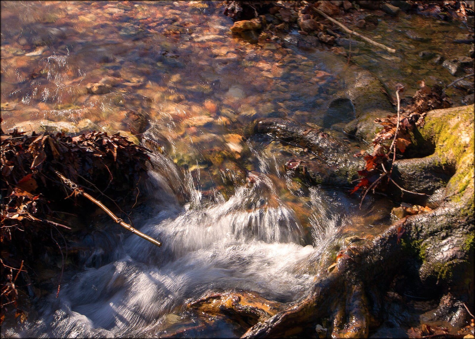
Clear water of the Sinking Stream tumbles over a mossy root and stones, with fallen leaves along the bank.Doug Wertman / CC BY 2.0 via Wikimedia Commons
🌲Natural

Hobbs State Park-Conservation Area

Part ofBentonville, Fayetteville & Eureka Springs

Arkansas's largest state park, about 12,000 acres on Beaver Lake, with the Van Winkle mill site, a graveyard of enslaved people, 54 miles of trail and regulated hunting.

⏱
Duration
Two hours to a day.
🎟
Admission
No general entry fee is listed.
📅
Best Season
Spring and fall; some trails close for hunting seasons in fall and winter. Visitor center open daily 8 a.m. to 5 p.m., closed Thanksgiving, Christmas Eve and Christmas (state parks site, November 2026).

The Story

Hobbs State Park-Conservation Area is the largest state park in Arkansas, about 12,000 acres of forested hills along the southern shore of Beaver Lake in Benton, Carroll and Madison counties. Peter Van Winkle, a Fayetteville wagon maker, began buying the land in the 1840s and ran a steam sawmill that the Encyclopedia of Arkansas calls the first in the state and the largest. During the Civil War he went to Texas with his family and eighteen enslaved people. Bushwhackers probably burned the mill and his house on December 3, 1863. He rebuilt the mill in 1866 and the house in 1872. Arkansas Archeological Survey digs have found quarters and a graveyard of enslaved people, a blacksmith shop, and the mill and house sites.

Roscoe Hobbs of Bentonville bought part of the land in 1928 for his tie company and took over the Van Winkle estate in the 1940s. He died in 1965 and left the state first option to buy. The Arkansas Nature Conservancy bought the 11,744-acre estate in January 1979 for $3,250,000, and Governor Bill Clinton signed Act 128 on February 14, 1979, to authorize the state to take it over. It became a state management area in 1980 and took its present name in 2002.

The visitor center is on Highway 12 and was the first LEED-certified one in the Arkansas state parks. A 54-mile multi-use trail system serves hikers, bikers and riders, and the limestone bedrock makes caves, springs and sinkholes. It allows regulated hunting, so some trails and campsites close in fall and winter seasons. Eleven primitive campsites are available.

Visitor Info

⏱
Time Needed
Two hours to a day.
🎟
Admission
No general entry fee is listed.
📅
Best Season
Spring and fall; some trails close for hunting seasons in fall and winter. Visitor center open daily 8 a.m. to 5 p.m., closed Thanksgiving, Christmas Eve and Christmas (state parks site, November 2026).
🛣️
Highway
AR 12

On the Map

Nearby

The closest stops worth working into your route

historical12 mi away
Pea Ridge National Military Park
Where Union troops held the March 1862 Civil War battle that kept Missouri in the Union, with Elkhorn Tavern, a Cherokee Trail of Tears road and a signed tour route.
architectural13 mi away
Thorncrown Chapel
E. Fay Jones's 1980 glass-and-timber chapel in the Eureka Springs woods, 48 feet high with 425 windows, ranked by the AIA among the best American buildings of its century.
historical14 mi away
Eureka Springs Historic District
An 1879 Ozark spring town on a bluff, with 230 streets and none at right angles, Basin Spring Park, the 1886 Crescent Hotel and a National Register district since 1970.
recreational15 mi away
Withrow Springs State Park
A 54-degree spring that runs underground into War Eagle Cave and out to War Eagle Creek, on land Roscoe Hobbs gave the state in 1962, with float trips and an oak-hickory forest.
cultural16 mi away
Crystal Bridges Museum of American Art
A 2011 Moshe Safdie building on 120 acres of Ozark forest in Bentonville, with free admission, six trails, two ponds, a spring, an arboretum and a relocated Frank Lloyd Wright house.
cultural16 mi away
Walmart Museum
Sam Walton's 1950 variety store on the Bentonville square, now a free museum with his 1979 pickup, a recreated office, the 1945 Newport store door and a 1950s-style soda counter.

Historical markers nearby

Roadside plaques and monuments within a short detour

Marker27 mi away
Butterfield Overland Mail in Missouri - 1858-1861
Missouri