Home / Nebraska / Scotts Bluff & the Panhandle / Wildcat Hills State Recreation Area
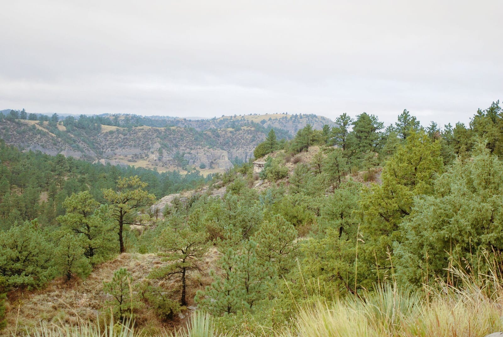
Ponderosa pines and cedars cover a canyon in the Wildcat Hills under an overcast sky.DickClarkMises / CC0 via Wikimedia Commons
🌲Natural

Wildcat Hills State Recreation Area

Part ofScotts Bluff & the Panhandle
On this driveUS-26: The North Platte Valley, Ogallala to Scotts Bluff

A pine-covered escarpment south of Gering where bighorn sheep were released and mountain lions came back on their own, with Depression-era stone shelters and a nature center.

⏱
Duration
Two hours to half a day.
🎟
Admission
Nebraska park entry permit required.
📅
Best Season
Spring through fall.

The Story

South of Gering the land climbs into the Wildcat Hills, an escarpment between the North Platte and Pumpkin Creek that wind and water have cut into buttes, ridges and canyons standing five hundred to a thousand feet above the plain. Ponderosa pine is the dominant tree, and the emigrant road once crossed the northern hills at Robidoux Pass.

The hills are a place where animals came back. Audubon's bighorn sheep were gone from western Nebraska by the early 1900s. Game and Parks began restoring them in 1981 with a release at Fort Robinson, and later releases in 1988, 2001, 2005, 2007 and 2012 established herds here and in the Pine Ridge. Mountain lions, wiped out around 1900, returned by themselves in the early 1990s, and the Wildcat Hills and the Pine Ridge hold the state's only permanent breeding population. Elk live here too.

The state bought the land in pieces between 1929 and 1980, and the recreation area now covers 1,094 acres, with a 230-acre wildlife management area beside it open to hunting. Civilian Conservation Corps and WPA crews built three picnic shelters from stone quarried nearby during the Depression; they are still first come, first served, and the largest holds about forty people. The nature center, opened in 1995, serves as park headquarters, with a half-mile boardwalk outside and a 27-foot artificial ponderosa pine rising through its two floors.

Visitor Info

⏱
Time Needed
Two hours to half a day.
🎟
Admission
Nebraska park entry permit required.
📅
Best Season
Spring through fall.
🛣️
Highway
NE-71

On the Map

Nearby

The closest stops worth working into your route

historical9.1 mi away
Scotts Bluff National Monument
A bluff named for a fur clerk whose death nobody witnessed, the narrow pass the wagons used beside it, William Henry Jackson's watercolors, and a 1937 road through three tunnels to the top.
geological17 mi away
Chimney Rock National Historic Site
The spire the trains watched for along the North Platte, measured again and again by the people passing it, and shorter now than when the first of them wrote it down.
geological30 mi away
Courthouse and Jail Rocks
Two clay and sandstone buttes south of Bridgeport that emigrants called a castle, a capitol, a church and coffins before the courthouse and jail names stuck, with a path to their base.
cultural50 mi away
Agate Fossil Beds National Monument
A fossil quarry on the Niobrara that also keeps the gifts Red Cloud and other Lakota and Cheyenne visitors gave the ranching family who were their friends for thirty-five years.
roadside51 mi away
Panorama Point
Nebraska's highest ground, a 26-foot rise in a bison pasture near the Colorado and Wyoming lines, found with a First World War altimeter in 1951.
roadside52 mi away
Carhenge
A son's memorial to his father on the family farm north of Alliance: Stonehenge copied to scale in old American cars sprayed gray, dedicated at the 1987 summer solstice.

Historical markers nearby

Roadside plaques and monuments within a short detour

Marker10 mi away
Rebecca Winters
Marker12 mi away
Fort Mitchell, 1864-1867
Marker12 mi away
Scottsbluff Army Air Field
Marker17 mi away
Chimney Rock
Marker26 mi away
The Great Smoke / The Horse Creek Treaty
Marker26 mi away
Camp Clarke Bridge and Sidney-Black Hills Trail