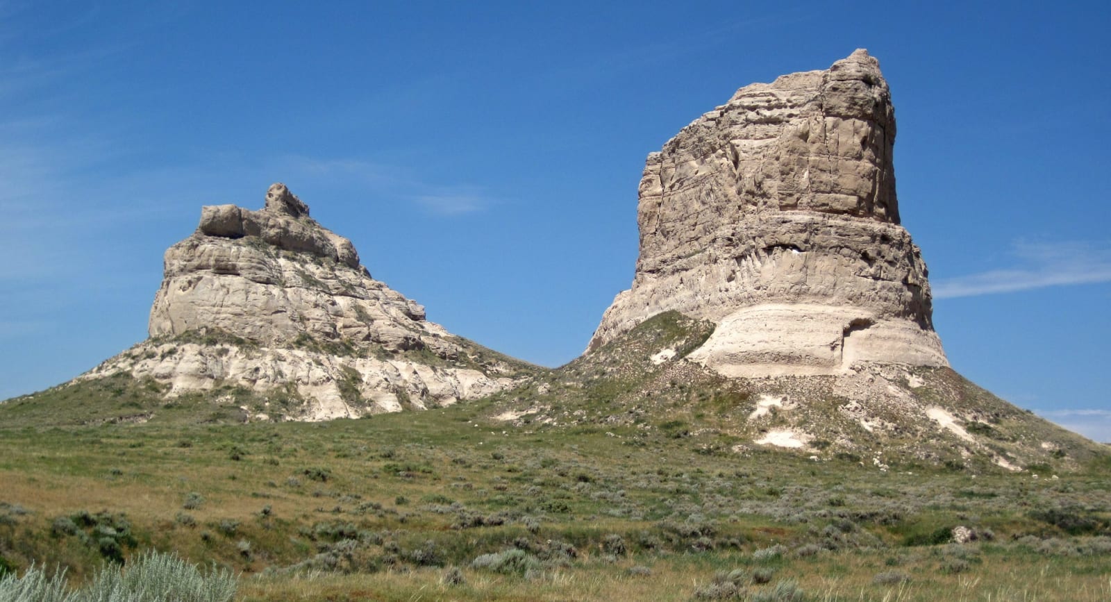
 James St. John / CC BY 2.0 via Wikimedia Commons
The Story
Courthouse Rock and its smaller neighbour, Jail Rock, stand about five miles south of Bridgeport, some 400 feet above the North Platte valley and 240 feet above Pumpkin Creek at their foot. They are what is left of an old tableland the river cut apart, built of Brule clay, Gering sandstone and volcanic ash, and for wagon trains coming up the valley they were the first of the big rock landmarks, with Chimney Rock and Scotts Bluff still ahead.
The emigrants could not agree on what they were looking at. Some called it McFarlan's Castle, and the courthouse name first turns up in 1837. A traveller in 1845 saw "the ruins of an old castle" rising abruptly from the plain and thought it looked "infinitely more like the Capitol" than a courthouse. By the gold rush year of 1849 diarists were writing of castles, a church and coffins, before Court House and Jail House won out. Hundreds of emigrants put the rocks in their journals, and some walked up to five miles off the trail to reach them.
The main trail kept to the river, but the Pony Express, the army and later the Sidney to Black Hills freighters took a shorter line on the west side, and a Pony Express station site lies southeast of the rocks on Pumpkin Creek. The rocks went on the National Register in 1973 and are on the Nebraska Natural Areas Register. A parking lot and a walking path lead to the base, close enough to touch the stone.
Visitor Info
On the Map
Nearby
The closest stops worth working into your route
Historical markers nearby
Roadside plaques and monuments within a short detour