Home / Georgia / The North Georgia Mountains / Walasi-Yi Center at Neel Gap
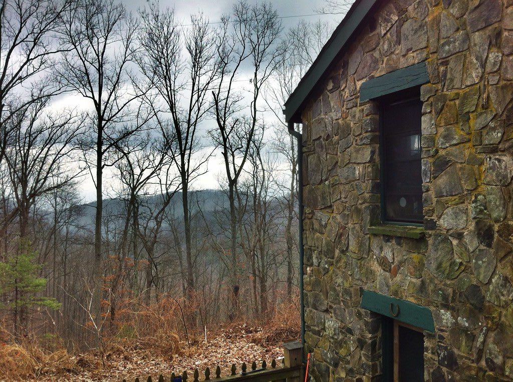
A rough stone wall of the Walasi-Yi building beside bare winter woods, with mountain ridges beyond.TranceMist / CC BY 2.0 via Flickr
🏛️Historical

Walasi-Yi Center at Neel Gap

Part ofThe North Georgia Mountains

The 1934-38 Civilian Conservation Corps stone inn at Neel Gap on US 129, where the Appalachian Trail passes through a breezeway between its two halves.

⏱
Duration
Thirty minutes to an hour; longer with a walk up Blood Mountain.
🎟
Admission
Free; the building houses an outfitter and hiker hostel (2026).
📅
Best Season
Year round; store open daily 9 a.m. to 5 p.m. (2026). Busiest in early spring, when most northbound thru-hikers come through.

The Story

The Cherokee called this gap Walasi-yi, the place of Walasi, the great frog of Cherokee lore who led the council of animals and made his home high in the pass. Settlers turned that into Frogtown Gap. When the state finished a highway through it in 1925, 3,000 to 4,000 people came to the Fourth of July dedication, and the gap had been renamed for W. R. Neel, the road's engineer.

The land came from the Vogel brothers of the Pfister-Vogel Leather Company of Milwaukee, which had bought about 65,000 acres here around 1900 for tanbark and timber; in 1927 they gave the state sixteen acres, the start of Vogel State Park. Between 1934 and 1938 the Civilian Conservation Corps built the stone inn, with a dining room of chestnut paneling and crossed chestnut beams, and veneered the company's older wooden tea room in matching stone. A covered walkway joins the two halves, and the Appalachian Trail runs straight between them, the only place on its length where it passes through a building.

The inn served meals and lodgers until 1965, then stood empty and was nearly torn down before local people won it a place on the National Register in 1979. Since 1983 it has been an outfitter, and for northbound hikers it is the first mail drop they can reach without leaving the trail. South from the walkway the trail climbs Blood Mountain, its highest point in Georgia, where the Corps built a two-room stone shelter in 1937.

Visitor Info

⏱
Time Needed
Thirty minutes to an hour; longer with a walk up Blood Mountain.
🎟
Admission
Free; the building houses an outfitter and hiker hostel (2026).
📅
Best Season
Year round; store open daily 9 a.m. to 5 p.m. (2026). Busiest in early spring, when most northbound thru-hikers come through.
🛣️
Highway
US 19/129

On the Map

Nearby

The closest stops worth working into your route

natural11 mi away
Brasstown Bald
Georgia's highest point at 4,784 feet, the mountain the Cherokee call Enotah, with a Forest Service visitor center and an observation deck over four states.
cultural12 mi away
Helen
The White County sawmill town on the Chattahoochee headwaters that its merchants rebuilt as a Bavarian village from 1968, after the timber and the railroad were gone.
historical12 mi away
Hardman Farm State Historic Site
An 1870 Italianate farmhouse on the old Unicoi Turnpike in the Nacoochee Valley, with the reconstructed Nacoochee Mound, a burial place, in its pasture beside GA 17.
historical14 mi away
Dahlonega Gold Museum State Historic Site
The 1836 Lumpkin County Courthouse on Dahlonega's square, telling the 1829 gold rush onto Cherokee land, the lotteries that followed and the branch mint that coined Georgia gold.
cultural21 mi away
John C. Campbell Folk School
The Brasstown folk school Olive Dame Campbell and Marguerite Butler opened in 1925 on the Danish model, home of the Brasstown Carvers.
natural22 mi away
Amicalola Falls State Park
The tiered falls of Little Amicalola Creek in Dawson County, named in Cherokee, first written up by a Georgia Guard officer in 1832, and the start of the Approach Trail to Springer Mountain.

Historical markers nearby

Roadside plaques and monuments within a short detour

Marker0 mi away
Blood Mountain
Blairsville
Marker3.2 mi away
Byron Herbert Reece
Blairsville
Marker6.7 mi away
Homesite Of Joseph Emerson Brown
Suches
Marker10 mi away
Union County
Blairsville
Marker13 mi away
Brasstown Bald
Hiawassee
Marker13 mi away
Nacoochee Valley: Valley of the Evening Star
Helen