Home / Texas / Waco, Temple & the Heart of Texas / Waco Suspension Bridge
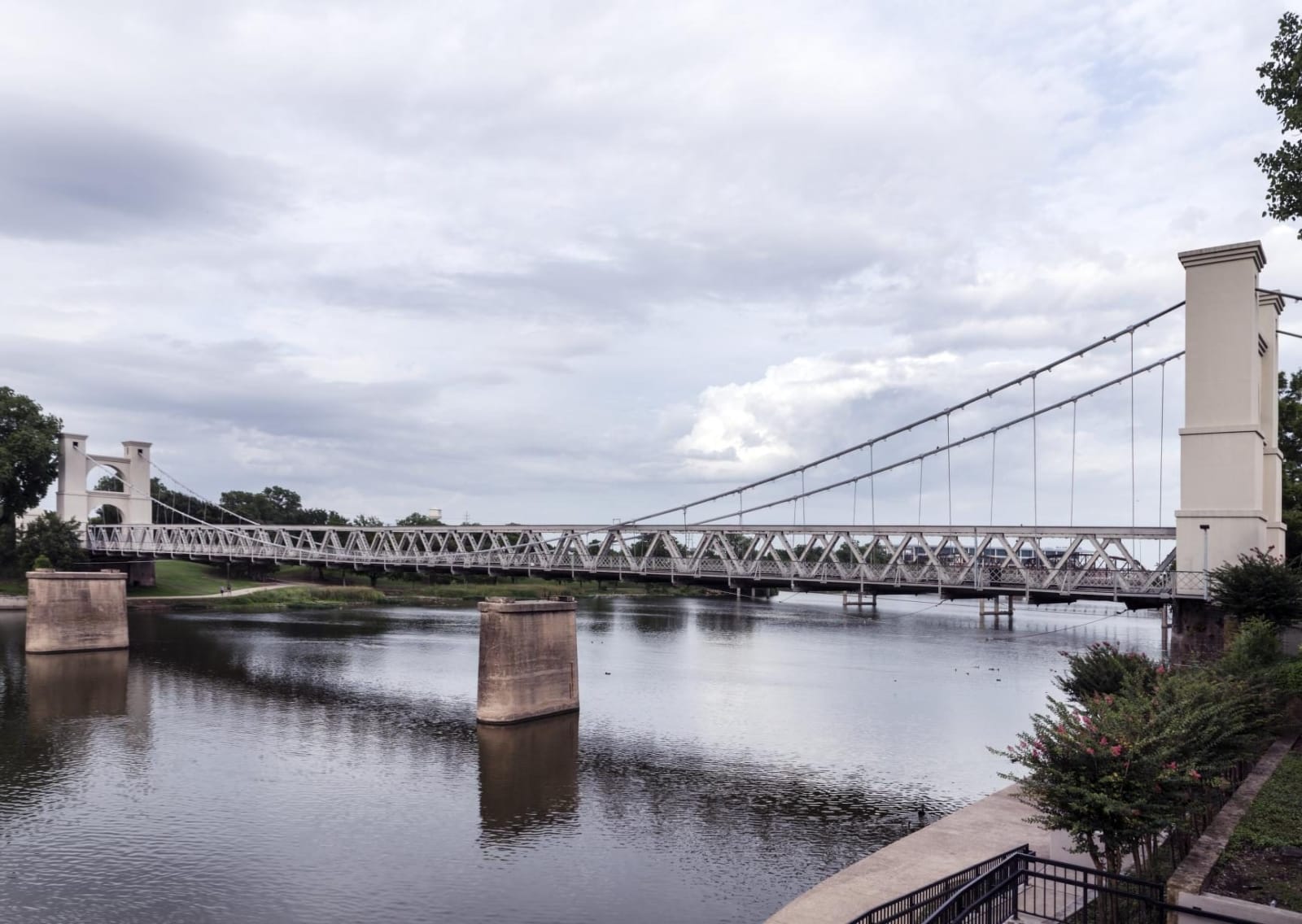
The Waco Suspension Bridge crossing the Brazos River, its cream-stuccoed towers at each end and a truss deck hung from cables, with two stone piers in the water.Carol M. Highsmith / public domain via the Library of Congress
🏗️Architectural

Waco Suspension Bridge

Part ofWaco, Temple & the Heart of Texas

A Brazos crossing opened in January 1870 as the longest single-span suspension bridge west of the Mississippi, tolled until 1889, closed to vehicles in 1971 and now walked.

⏱
Duration
Thirty minutes to an hour.
🎟
Admission
Free.
📅
Best Season
Year round; a public pedestrian bridge.

The Story

Waco sat where cattle drivers on the Chisholm Trail found shallow banks on the Brazos, which was otherwise hard to cross. The legislature chartered the Waco Bridge Company on November 1, 1866, with exclusive bridge rights within five miles. Thomas M. Griffith, a New York civil engineer, arrived in 1868 to plan it. Waco History says the cables came from the Roebling company of Trenton, New Jersey, and that local labor assembled the bridge after the parts arrived by oxcart.

The Handbook of Texas gives the opening as January 7, 1870, with a span of 475 feet. A first estimate of $40,000 grew with inflation and an unstable riverbed, and final costs are commonly given as $135,000 or $141,000. Tolls brought in about $25,000 a year and were unpopular. After two years of court fights over the charter, McLennan County bought the bridge for $75,000 in 1889 and sold it to the city for a dollar, on condition that the city maintain it. It reopened free on September 1, 1889.

In 1914 the bridge got a new cable system, steel roadway reinforcement and rebuilt, stuccoed towers. It was listed on the National Register in 1970, and vehicle traffic ended in 1971, after other Brazos bridges had opened. It is now reserved for pedestrians and special events, with a park beside it.

Visitor Info

⏱
Time Needed
Thirty minutes to an hour.
🎟
Admission
Free.
📅
Best Season
Year round; a public pedestrian bridge.
🛣️
Highway
I-35

On the Map

Nearby

The closest stops worth working into your route

industrial0.5 mi away
Dr Pepper Museum
The 1906 bottling plant of the Artesian Manufacturing and Bottling Company, built where Dr Pepper outgrew a Waco drugstore soda fountain, now the Dr Pepper Museum.
cultural0.6 mi away
Texas Ranger Hall of Fame and Museum
The official state repository of Texas Ranger memorabilia, opened in 1968 in Fort Fisher Park on the Brazos, named for a Ranger post of 1837 whose site no one has located.
cultural1.3 mi away
Armstrong Browning Library
A three-story Italian Renaissance library on the Baylor campus built to hold A. J. Armstrong's Browning collection, dedicated in December 1951 and now, by its own account, the world's largest of Browning material.
natural4.1 mi away
Waco Mammoth National Monument
A bone bed on the Bosque River where a nursery herd of at least 19 Columbian mammoths was trapped and drowned by floodwater 65,000 to 72,000 years ago, left in place under a dig shelter.
recreational25 mi away
Mother Neff State Park
A Leon River park that grew from six acres Isabella Neff left the state in her 1921 will, where Civilian Conservation Corps Company 817 built a stone tower, a pavilion and roads in the 1930s.
cultural31 mi away
Bosque Museum
A Clifton museum holding what it calls the largest repository of Norwegian artifacts in the South and Southwest, with Bosque County finds some 10,000 years old and a log cabin built by the Olson family.

Historical markers nearby

Roadside plaques and monuments within a short detour

Marker0.1 mi away
Jacob De Cordova
Waco
Marker0.2 mi away
Waco
Waco
Marker0.2 mi away
"The Waco Horror": The Lynching of Jesse Washington
Waco
Marker0.3 mi away
McLennan County Medical Society
Waco
Marker0.3 mi away
Site of First Church Building in Waco
Waco
Marker0.3 mi away
Gerald-Harris Shooting
Waco