Home / Oklahoma / The Arbuckles & Chickasaw Country / Tishomingo National Wildlife Refuge
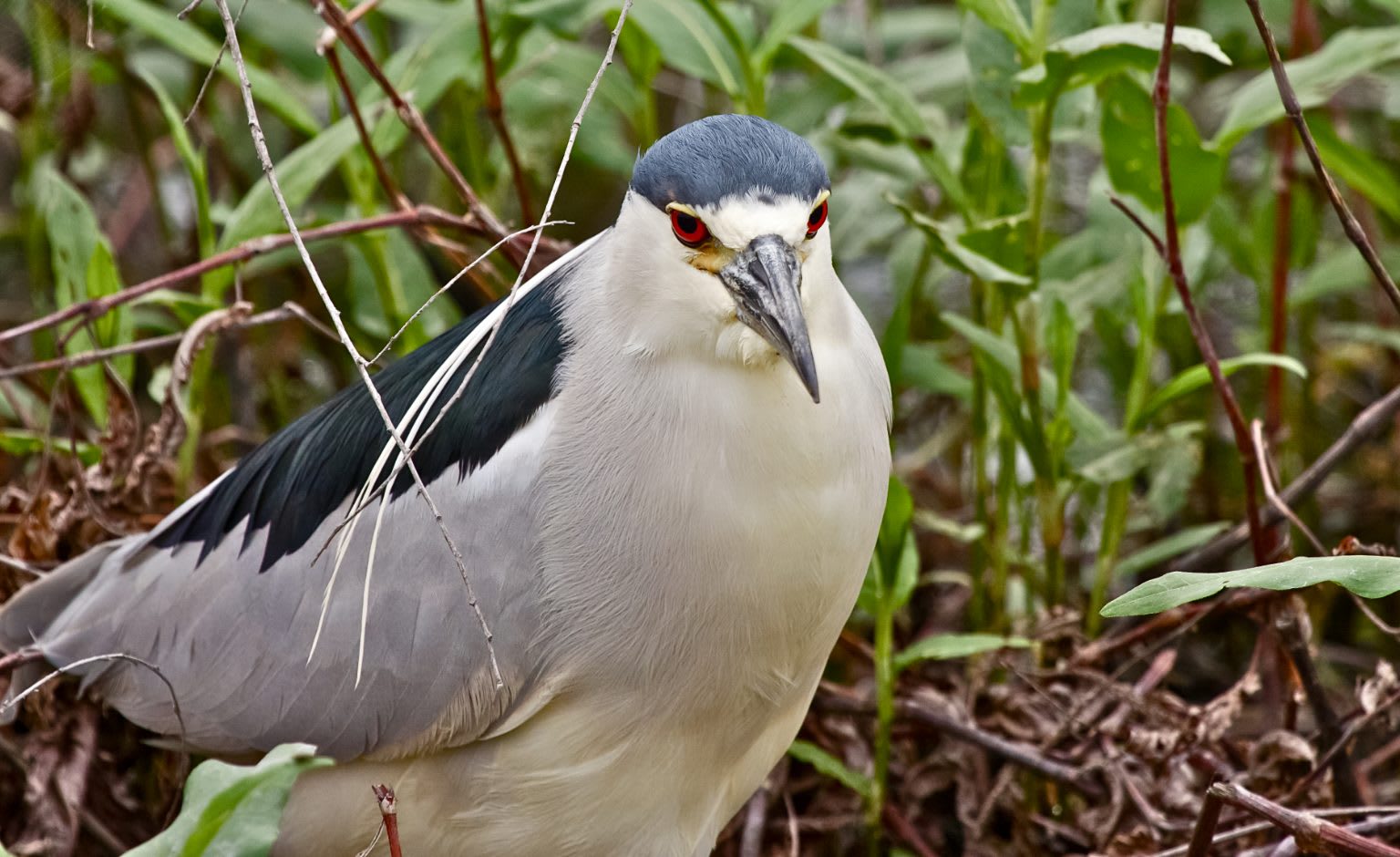
A black-crowned night heron among green marsh plants at Tishomingo National Wildlife Refuge.Rick Cantu, U.S. Fish and Wildlife Service / public domain via Wikimedia Commons
🌲Natural

Tishomingo National Wildlife Refuge

Part ofThe Arbuckles & Chickasaw Country

A 16,464-acre refuge on the Washita arm of Lake Texoma, where thousands of wintering geese feed on wheat planted for them along Wildlife Drive.

⏱
Duration
Two hours to half a day.
🎟
Admission
No charge.
📅
Best Season
Late fall and winter for geese, spring for prairie wildflowers. Lands open sunrise to sunset all year. Visitor center weekdays, hours vary (call 580-371-2402), closed weekends.

The Story

When the Corps of Engineers built Denison Dam in 1939, Lake Texoma backed up the Washita River below Tishomingo and formed the Cumberland Pool. On January 24, 1946, President Harry Truman established a national wildlife refuge there, an overlay on the Corps project, as a refuge and wintering ground for migratory birds of the Central Flyway. It now protects 16,464 acres and takes its name, like the town, from the Chickasaw leader Tishomingo.

Staff and volunteers plant winter wheat in the fields along Wildlife Drive, and in fall snow geese and white-fronted geese arrive by the thousands to feed on it. By March the fields turn to grasses and wildflowers for butterflies and nesting birds. What is left of the Blackland Prairie, with little and big bluestem, Indiangrass, paintbrush and bluebonnet, is kept open with mowers and prescribed fire. A flood in 2015 put about 80 percent of it under water, some ground for three months.

Start at the visitor center on Refuge Road, two miles south of town, calling ahead because its weekday hours vary. The Craven Nature Trail, named for the first manager, Earl Craven, is a half-mile loop to a deck on Dick's Pond. Exhibits recall the Washita Farm of 1920 and the Chickasaw Manual Labor Academy, which opened on refuge land in 1851. The 2.4-mile si' Aapisa' Hin-oshi', Eagle Lookout Trail in Chickasaw, runs from Murray 23 to the observation tower past Sandy Creek. The lands are open sunrise to sunset, with no charge.

Visitor Info

⏱
Time Needed
Two hours to half a day.
🎟
Admission
No charge.
📅
Best Season
Late fall and winter for geese, spring for prairie wildflowers. Lands open sunrise to sunset all year. Visitor center weekdays, hours vary (call 580-371-2402), closed weekends.
🛣️
Highway
OK-78

On the Map

Nearby

The closest stops worth working into your route

historical3.7 mi away
Chickasaw National Capitol
The red granite capitol the Chickasaw Nation finished at Tishomingo in 1898, forced out of at statehood, used as the county courthouse for most of a century and reclaimed by the Nation in 1992.
historical5.8 mi away
Chickasaw White House
Governor Douglas H. Johnston's Queen Anne house at Emet, where the Chickasaw Nation's business went on through allotment and statehood, kept today by the Nation.
historical8.5 mi away
Fort Washita Historic Site
The 1842 post built to keep the peace for the Chickasaw and Choctaw in their new lands, burned at the end of the Civil War and bought by the Chickasaw Nation in 2017.
cultural20 mi away
Choctaw Cultural Center
The Choctaw Nation's history told from the Chahta side at Calera, with galleries from Nanih Waiya to the Trail of Tears and the reservation today, a living village and daily stickball.
recreational27 mi away
Lake Murray State Park
Oklahoma's first and largest state park, built by New Deal crews on former Chickasaw Nation land south of Ardmore, with Tucker Tower, a governors' retreat never finished, on a point above the lake.
natural28 mi away
Chickasaw National Recreation Area
Springs the Chickasaw and Choctaw nations sold to the government in 1902 rather than lose them to developers, later Platt National Park, now the Travertine district's creeks, CCC stonework and bison pasture.

Historical markers nearby

Roadside plaques and monuments within a short detour

Marker4.4 mi away
Tishomingo
Marker8.3 mi away
General Douglas Hancock Cooper
Marker8.4 mi away
Fort Washita
Marker14 mi away
Fort McCulloch
Marker14 mi away
Camp Leavenworth
Marker15 mi away
Nail's Crossing