Home / Alabama / Huntsville & the Tennessee Valley / Russell Cave National Monument
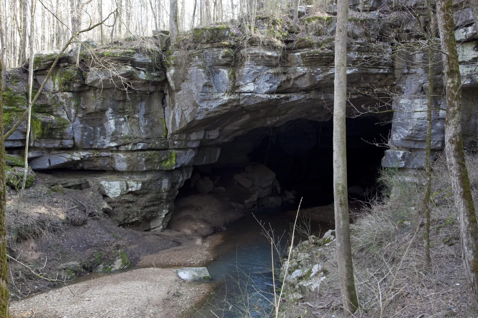
A wide, low limestone cave mouth above a pool of clear water, framed by bare winter trees.Carol M. Highsmith / public domain via Library of Congress
🏛️Historical

Russell Cave National Monument

Part ofHuntsville & the Tennessee Valley

A limestone shelter in Doran Cove where people camped for roughly ten thousand years, from the end of the Ice Age to the Cherokee, set aside by Kennedy in 1961.

⏱
Duration
One to two hours.
🎟
Admission
Free (NPS, 2026).
📅
Best Season
Year round; the park and visitor center are open daily (NPS, 2026).

The Story

A sinkhole opened the mouth of Russell Cave about 11,000 years ago, and once rockfalls lifted its floor above the stream people began to use it, first perhaps as a home and later as a winter camp out of the north wind. The cove below had water and game, and the limestone held nodules of chert for points and blades. Over the next nine millennia Archaic hunters with spear throwers, Woodland families making pottery and storing seeds, and Mississippian hunters came back again and again. When Europeans reached the valley in the late eighteenth century, it was Cherokee country, and the Cherokee still used the cave now and then.

Amateur archaeologists from the Chattanooga chapter of the Tennessee Archaeological Society recognized the site in 1953. The National Geographic Society bought the surrounding 310 acres in 1956 and dug with the Smithsonian; the excavations went down more than 30 feet and brought out about two tons of artifacts, among them bones of an extinct peccary and a cache of goosefoot seeds that may be among the earliest evidence of plant cultivation in the Southeast. The Society gave the land to the nation, and President Kennedy proclaimed the monument on May 11, 1961.

The visitor center holds finds from the digs. A short walk leads to the shelter, which you see from outside; entering the cave is not allowed. Trails climb Montague Mountain behind it, where birders have recorded about 115 species.

Visitor Info

⏱
Time Needed
One to two hours.
🎟
Admission
Free (NPS, 2026).
📅
Best Season
Year round; the park and visitor center are open daily (NPS, 2026).
🛣️
Highway
US-72 (County Roads 75 and 98)

On the Map

Nearby

The closest stops worth working into your route

historical17 mi away
Sewanee: The University of the South
The Episcopal university on the Cumberland Plateau, founded in 1857 as a school for the slaveholding South and now examining that history through its own Roberson Project.
natural21 mi away
Cloudland Canyon State Park
A gorge more than 1,000 feet deep cut into the western edge of Lookout Mountain, with two waterfalls at the foot of a 600-step trail.
historical25 mi away
Scottsboro Boys Museum and Cultural Center
A former Methodist church a few blocks from the Jackson County courthouse, telling the 1931 case of nine young men falsely accused of rape and the Supreme Court rulings it produced.
attraction26 mi away
Rock City Gardens
Frieda Carter's 1932 rock garden on Lookout Mountain, made famous by the See Rock City signs Clark Byers painted on barn roofs across the country.
historical26 mi away
Point Park on Lookout Mountain
The Tennessee end of Lookout Mountain, where a ten-acre Park Service memorial overlooks Moccasin Bend and the November 1863 fight called the Battle Above the Clouds.
historical28 mi away
Ross's Landing
The Tennessee River landing where Chattanooga began and where Muscogee (Creek) and Cherokee people were put on boats and ferried out in 1837 and 1838.

Historical markers nearby

Roadside plaques and monuments within a short detour

Marker5.3 mi away
Bridgeport
Bridgeport
Marker6.3 mi away
Birthplace of Jobyna Lancaster Ralston-Arlen 1899-1967
South Pittsburg, Tennessee
Marker7.3 mi away
Averyville
Stevenson
Marker7.4 mi away
Union Army Headquarters
Stevenson
Marker7.8 mi away
Stevenson Depot and Hotel
Stevenson
Marker8.1 mi away
Chiaha
Jasper, Tennessee