Home / California / The Redwood Coast / Rockefeller Forest
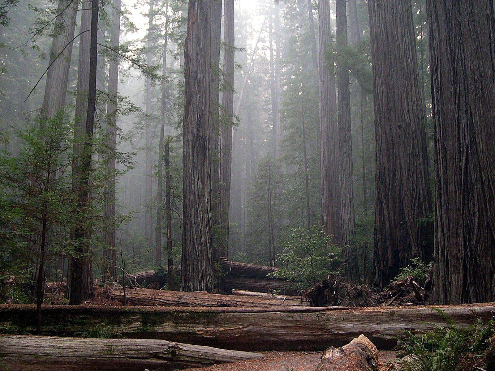
Old-growth redwoods in Rockefeller Forest standing in mist, massive trunks receding into haze, fallen logs lying across the flat forest floor in front.Jason Sturner / CC BY 2.0 via Wikimedia Commons
🌲Natural

Rockefeller Forest

Part ofThe Redwood Coast
On this driveUS-101: The Redwood Coast

Generally counted the largest old-growth redwood forest left, bought in 1931 and nearly lost anyway to logging on the slopes above it.

Hiking
⏱
Duration
One hour to a full day.
🎟
Admission
Free.
📅
Best Season
Summer and fall; the creek crossings close in high water.

The Story

The flats along Bull Creek carry some of the tallest and heaviest forest on earth, with the redwood canopy averaging more than three hundred feet. Save the Redwoods League wanted this stand from the start. The purchase came in 1931, after long negotiation with the Pacific Lumber Company, with John D. Rockefeller Jr.'s money matched by private gifts and the state. Rockefeller asked that it not carry his family's name, and until 1951 it was the Bull Creek-Dyerville Forest.

What the purchase did not include was the hillsides. From 1946 the upper Bull Creek watershed, still in private hands, was logged hard, and in December 1955 heavy rain fell on the bare slopes. The flood came down the creek carrying mud, slash, cull logs and the wreckage of the settlement at Bull Creek, filled the channel and cut away its banks, and big redwoods on the protected flats toppled into it. The 1964 flood did it again. Between the two, hundreds of large trees were lost.

The lesson changed how redwoods are protected: a grove is only as safe as the watershed above it. The state spent the following decades buying out the rest of Bull Creek, and the creek is still being nursed back.

The Rockefeller Loop is a flat half-mile on the flats; the Bull Creek trails go much farther.

Visitor Info

⏱
Time Needed
One hour to a full day.
🎟
Admission
Free.
📅
Best Season
Summer and fall; the creek crossings close in high water.
🛣️
Highway
Mattole Road, off US-101 and the Avenue of the Giants

On the Map

Nearby

The closest stops worth working into your route

historical1.1 mi away
Founders Grove
A grove named for three men who saved redwoods and preached race science, and the trailside sign that now says both.
historical34 mi away
Carson Mansion
The house Eureka's biggest lumberman began in 1884 on the bluff above his own mill, and the story told about why.
natural37 mi away
Arcata Marsh and Wildlife Sanctuary
A wildlife sanctuary that is also the town's sewage works, because Arcata turned down the state's plan.
historical56 mi away
Sue-meg State Park
A Yurok place that carried a settler's name for ninety years and took its own back in 2021.
natural60 mi away
Tall Trees Grove
Where a 1963 measurement found the world's tallest known tree on timber company land, and helped decide where a national park would go.
historical62 mi away
Glass Beach
Sixty years of Fort Bragg's garbage, ground down by the surf into a beach its visitors have nearly picked clean.

Historical markers nearby

Roadside plaques and monuments within a short detour

Marker18 mi away
California's First Drilled Oil Wells
Petrolia
Marker24 mi away
Ferndale
Ferndale
Marker27 mi away
Centerville Beach Cross
Ferndale