 wongaboo / CC BY 2.0 via Flickr
The Story
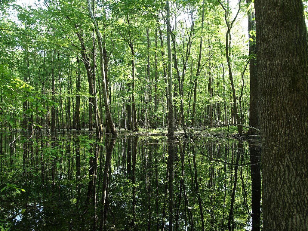
Below the falls at Weldon the Roanoke slows and spreads, and for its last 130 miles to the Albemarle Sound it runs through one of the great river swamps of the East. The refuge was set up in 1989 to protect pieces of that floodplain, and it holds what is described as the largest intact bottomland forest left in the mid-Atlantic: levee forest, cypress and tupelo sloughs, oxbows, beaver ponds and blackwater creeks. Depending on the season and the dams upstream, the forest floor may be dry or under several feet of water.
The wildlife list is long. More than 200 species of birds have been counted, and the refuge holds the largest inland heron rookery in the state, along with one of its biggest wild turkey populations, a remnant of black bears and the endangered shortnose sturgeon in the river. The same swamps and channels once served people escaping slavery. Black watermen who knew the river helped freedom seekers move down it toward the sound and the sea, and signs at the boat ramps and refuge offices now mark it as part of a Roanoke River Underground Railroad trail.
The refuge office is on West Water Street in Windsor. On foot, the Kuralt Trail, a little over a mile, starts from a lot on the Conine Island tract east of US 13/17 just past the Roanoke River bridge north of Williamston; northbound drivers have to cross the bridge and turn back. Most of the refuge is reached by boat, from public ramps at Hamilton, Williamston, Jamesville and Plymouth.
Visitor Info
On the Map
Nearby
The closest stops worth working into your route
Historical markers nearby
Roadside plaques and monuments within a short detour