Home / Arizona / Route 66 & the Colorado River / Peach Springs
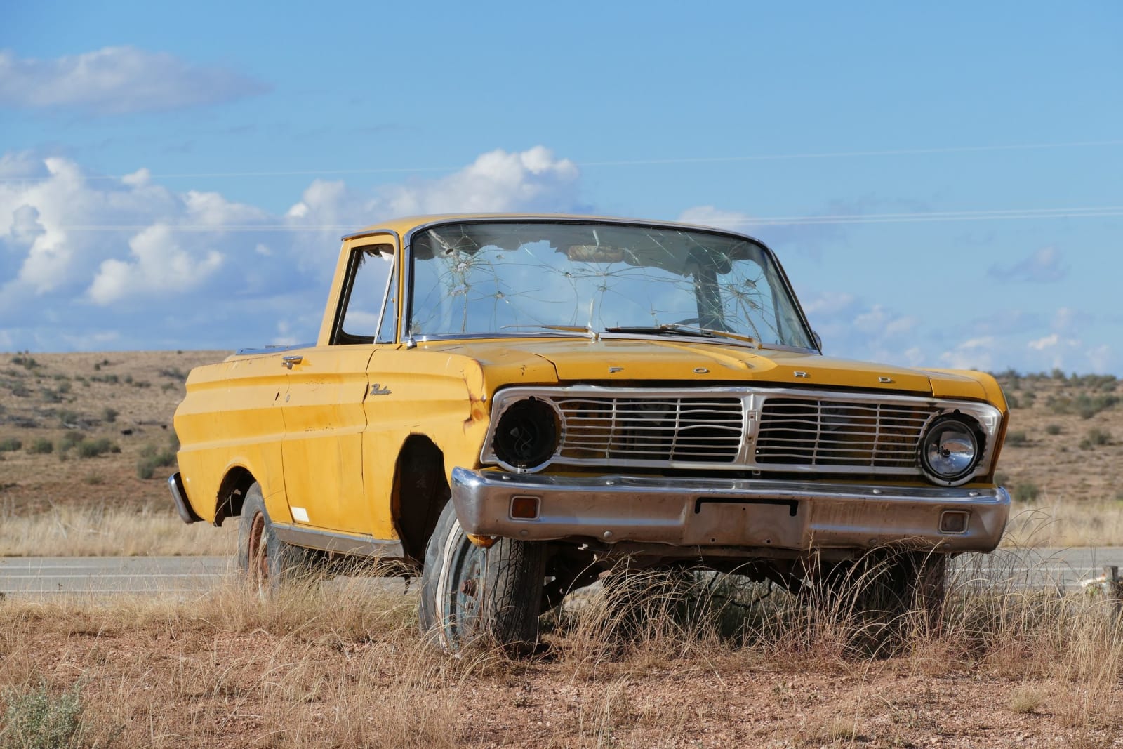
Peach SpringsBernard Spragg. NZ (public domain via Wikimedia Commons)
🎭Cultural

Peach Springs

Part ofRoute 66 & the Colorado River
On this driveHistoric Route 66

The capital of the Hualapai Nation — the People of the Tall Pines — on Route 66 at the rim of the Grand Canyon, gateway to Grand Canyon West and the only road to the Colorado's floor.

Duration
An hour for the town and the historic trading post; a full day or more for Grand Canyon West, the Skywalk, or a Diamond Creek run down to the river.
📅
Best Season
At about 4,800 feet, Peach Springs is mild in spring and fall and hot in summer; the Hualapai run Grand Canyon West year-round, and the town marks the 2026 Route 66 centennial.
💡
Fun Fact
Peach Springs is the capital of the Hualapai Nation, which in 1941 won a U.S. Supreme Court case affirming its title to its land against the Santa Fe Pacific Railroad — and today owns and operates Grand Canyon West and its Skywalk.

The Story

Read Peach Springs as a tribal capital first, because it is one, and the highway is the newer thing. This is the seat of government of the Hualapai — a name that renders roughly as the People of the Tall Pines — who have lived along this rim of the Grand Canyon for well over a thousand years. Their reservation, a little under a million acres, runs north across the plateau to a hundred and eight miles of the Colorado River, which forms its border at the bottom of the Canyon.

The town's two names carry its two histories. Peach Springs is the settler name, for the peach trees that once grew at the springs here; the water is why the wagon road, then the railroad, then Route 66 all came through. The Hualapai history is harder. An 1883 executive order fixed the reservation at a fraction of the country the people had ranged across, and for decades the Santa Fe Pacific Railroad claimed much of even that outright. The tribe fought the claim for years and won it at the Supreme Court in 1941, which affirmed that the Hualapai held title to their own land — a rare victory in a century that mostly ran the other way. They had already written a constitution in 1938 and made Peach Springs their capital; the 1917 trading post on the highway is now the tribal administration building.

Today the tribe runs the canyon on its own terms. Grand Canyon West and its glass Skywalk, out on the reservation's northern edge, are Hualapai enterprises, and the only public road to the Colorado's floor inside the Grand Canyon — Diamond Creek Road — runs through here. Pixar is often said to have drawn on Peach Springs for Radiator Springs in Cars, which flatters the roadside charm and misses the place entirely: this is the working seat of a sovereign nation, not a piece of nostalgia.

Peach Springs sits at about 4,800 feet, roughly midway on the free-running old road between the Grand Canyon Caverns to the east and the Hackberry General Store to the west, on the long run toward Kingman. Approach it as a community, not a photo stop.

Visitor Info

Time Needed
An hour for the town and the historic trading post; a full day or more for Grand Canyon West, the Skywalk, or a Diamond Creek run down to the river.
📅
Best Season
At about 4,800 feet, Peach Springs is mild in spring and fall and hot in summer; the Hualapai run Grand Canyon West year-round, and the town marks the 2026 Route 66 centennial.
🛣️
Highway
Historic Route 66 / I-40

On the Map

Stories

A story featuring this place

Go deeper into the history and character of this stop

Culture
The Older Country Under the Mother Road
Open Road Guide · 5 min read

Nearby

The closest stops worth working into your route

geological12 mi away
Grand Canyon Caverns
The largest dry cavern in the country, 210 feet under Route 66 — a Cold War fallout shelter, the deepest hotel room in America, and a Hualapai burial place the tourists once mistook for a sideshow.
roadside19 mi away
Hackberry General Store
Looks like a junkyard, is a shrine — the 1934 store an artist brought back from the dead, and the Route 66 stop that inspired Fillmore in Cars.
roadside36 mi away
Seligman
The town that refused to die when the interstate went around it — a barber's crusade made this the Birthplace of Historic Route 66, and the reason the Mother Road still runs.
cultural42 mi away
Kingman
The working hub of Route 66 in Arizona — a railroad town named for a surveyor, Andy Devine's hometown, and the last real stop before the road's two wildest endings.
cultural63 mi away
Oatman
A gold camp in the Black Mountains that outlived its mines, now run by wild burros — reached by the wildest switchbacks left on Route 66, and named for a history worth telling straight.
cultural73 mi away
Williams
The last town on Route 66 to lose its traffic to the interstate — a rail gateway to the Grand Canyon since 1901, bypassed only in 1984 after a court fight, and revived twice over.