Home / Oregon / Northeast Oregon / National Historic Oregon Trail Interpretive Center
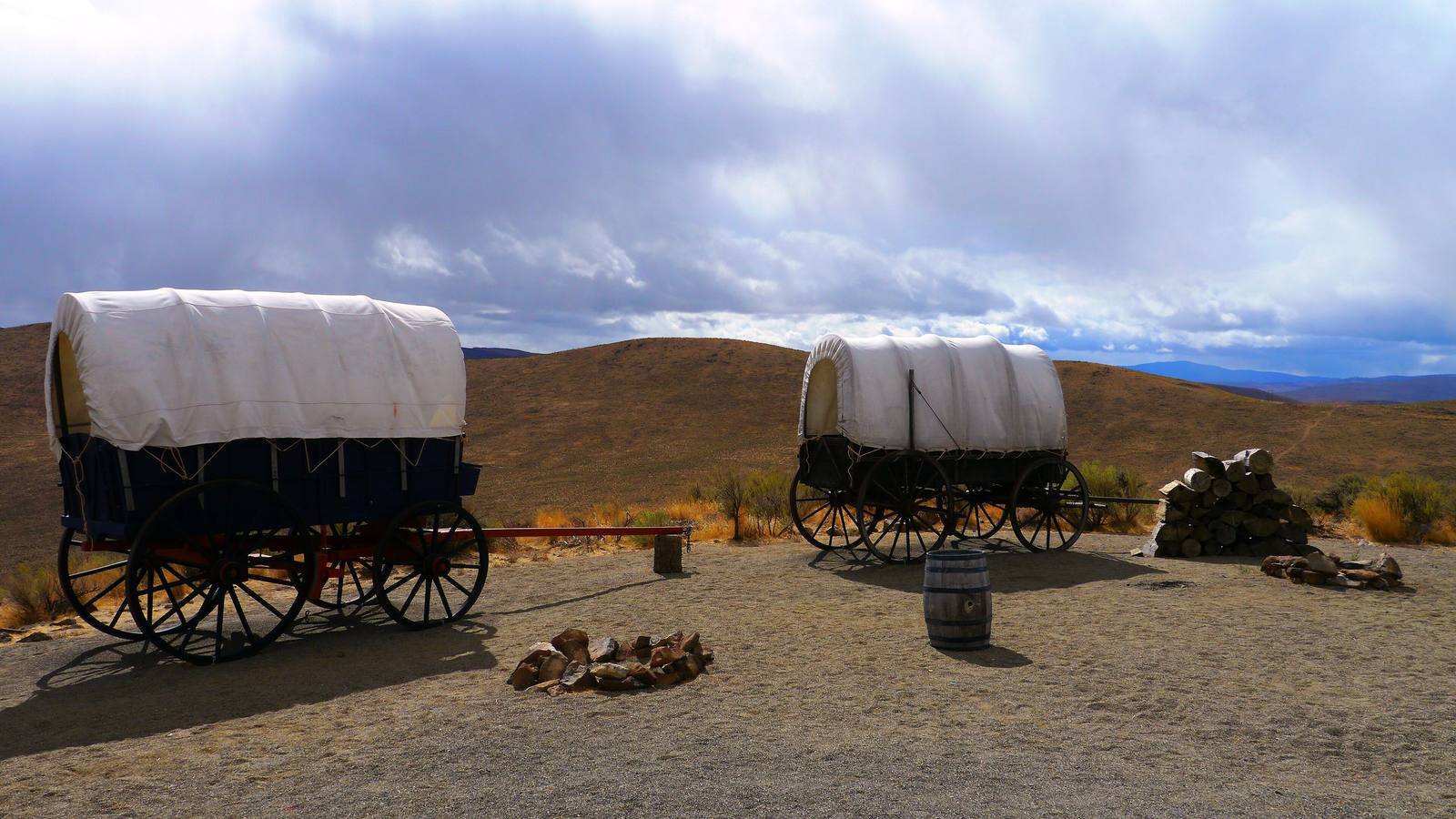
Covered wagons set out on Flagstaff Hill at the Oregon Trail Interpretive Center, dry sagebrush hills beyondRick Obst / CC BY 2.0 via Wikimedia Commons
🏛️Historical

National Historic Oregon Trail Interpretive Center

Part ofNortheast Oregon
On this driveI-84: The Farewell Bend Crossing

A hilltop museum that Baker City built to revive its economy, above a mile of wagon ruts and the first view the emigrants had of the valley ahead.

Year-RoundPioneer History
⏱
Duration
Two hours, more with the trail to the ruts.
📅
Best Season
Summer for living-history programs; open year-round.

The Story

Flagstaff Hill, five miles east of Baker City, is where Oregon Trail emigrants coming off the dry stretch of Virtue Flat got their first look at the Baker and Powder River valleys and the Elkhorn Mountains, with the Blue Mountains still to cross. The route can still be traced across Virtue Flat below, and about a mile of wagon ruts lies on the center's own grounds.

The center is here because Baker City needed it. Local leaders looking for a way to revive a struggling economy formed the nonprofit Oregon Trail Preservation Trust and brought in the Bureau of Land Management, the state and the county; the center opened in May 1992, a year before the trail's sesquicentennial, and drew some two and a half million visitors over the next three decades. It closed during the pandemic and then for a $6.5 million renovation that made it a net-zero-energy building, and reopened in May 2024.

Inside are life-size dioramas of the trail, the mountain men, mining and the Native peoples the emigrants passed through, and a theater. Outside are a wagon encampment where living-history programs run in summer, a gold-mine stamp mill, and about four miles of trails, the most walked of them leading down to the ruts. The hill is named for the Flagstaff gold mine beneath it.

Visitor Info

⏱
Time Needed
Two hours, more with the trail to the ruts.
📅
Best Season
Summer for living-history programs; open year-round.
🛣️
Highway
OR-86

On the Map

Nearby

The closest stops worth working into your route

cultural44 mi away
Joseph and the Bronze Foundries
A ranch town under the Wallowas that became a bronze-casting center after local sculptors talked a resident into opening a foundry in 1982, with seven monumental bronzes now on Main Street.
cultural53 mi away
Wallowa and the Tamkaliks Celebration
The town in the valley the Wallowa band of the Nez Perce was driven from in 1877, where since 1991 their descendants have come home each summer for a celebration named for where you can see the mountains.
cultural54 mi away
Weiser
Every June the fiddlers come to a farm town on the Snake, and the campground plays all night.
historical66 mi away
Kam Wah Chung
A stone store in John Day where a Chinese herbalist practiced for sixty years and died leaving $23,000 in patients' checks he had never cashed.
natural71 mi away
Heaven's Gate Lookout
A staffed fire lookout at 8,429 feet on the rim of North America's deepest river gorge, nearly reachable by car.
cultural74 mi away
Tamástslikt Cultural Institute
The only tribally owned museum on the Oregon Trail, where the Cayuse, Umatilla and Walla Walla tell the wagon migration from the side of the people it rolled through.

Historical markers nearby

Roadside plaques and monuments within a short detour

Marker0.5 mi away
The Lure of Gold
Marker1.3 mi away
The Lone Tree of the Oregon Trail
Marker4.7 mi away
Baker
Marker12 mi away
Cattle Drives
Marker21 mi away
Durkee