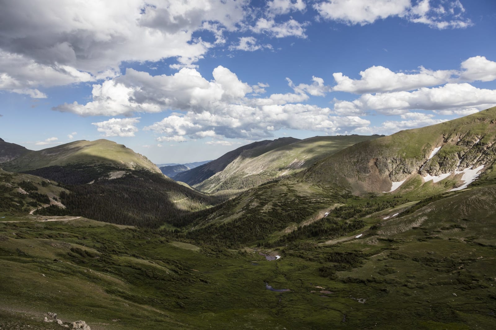
 Carol M. Highsmith / public domain via Wikimedia Commons
The Story
Old Fall River Road climbs from Horseshoe Park up the Fall River valley and across the headwall of its cirque to Fall River Pass at 11,796 feet, where it meets Trail Ridge Road beside the Alpine Visitor Center. It follows a line Native hunters had long used to reach the high country, and it was the first road for automobiles into the park's interior.
The state of Colorado began building it in 1913, two years before the park existed, at first with convict labor; a contractor took over and finished the job, and it opened in 1920. As the first road over the range here it brought the tourist traffic that filled the dude ranches on the far side of the Divide. It was also narrow, steep, cut by switchbacks and swept by snow and rock slides every spring, and when Trail Ridge Road opened in the 1930s it took over the traffic and swallowed the western half of the old route.
The eastern half was reopened in 1968 as a one-way motor nature trail, gravel, about eleven miles long, posted at fifteen miles an hour, open to cars from about July to early October depending on snow. At its foot, near Endovalley, lies the Alluvial Fan, a field of boulders left when the Lawn Lake dam failed in July 1982 and sent a flood down the Roaring River. The road was listed on the National Register of Historic Places in 1987.
Visitor Info
On the Map
Nearby
The closest stops worth working into your route