 Wusel007 / CC BY-SA 3.0 via Wikimedia Commons
The Story
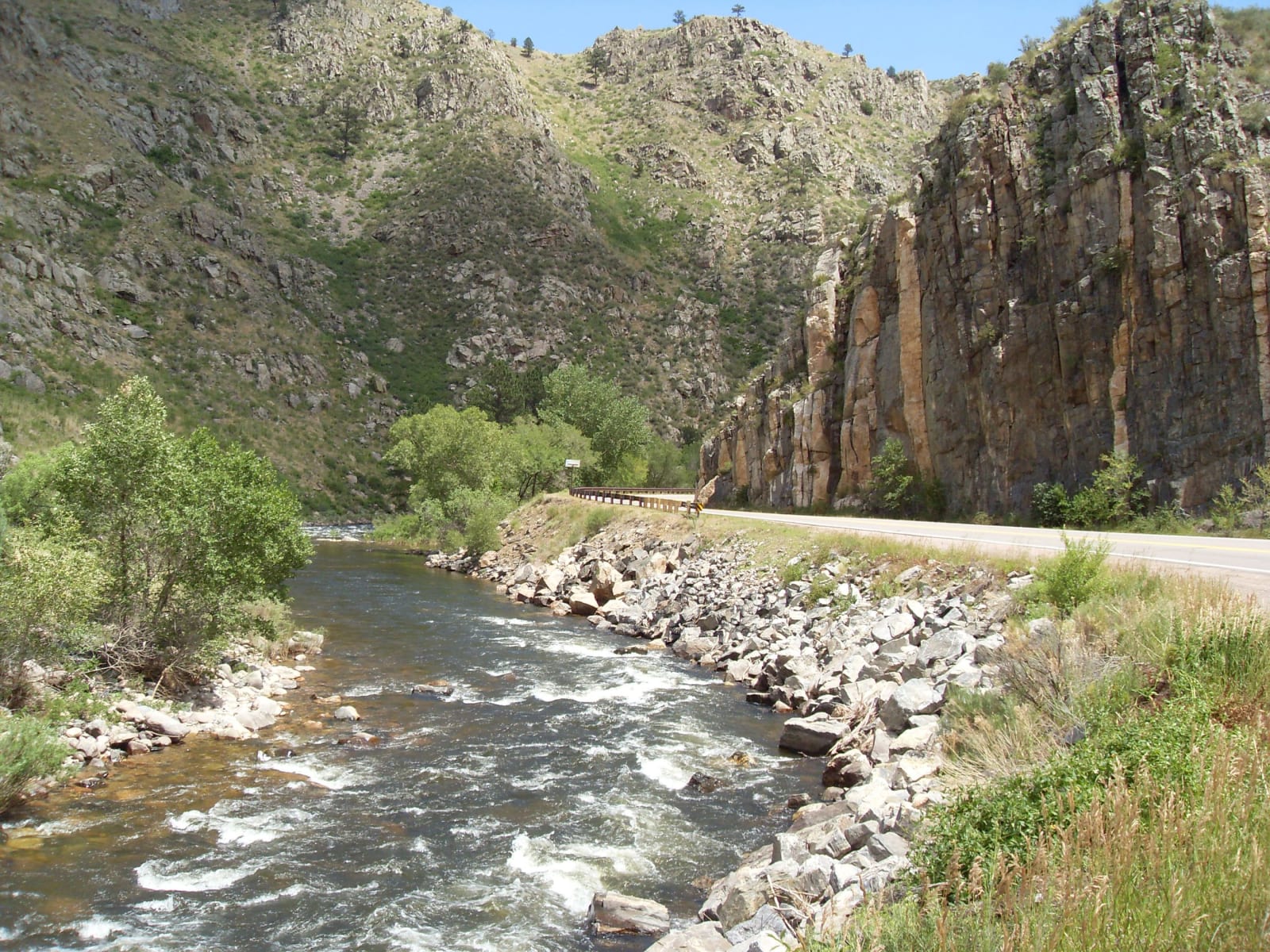
The Cache la Poudre rises in Rocky Mountain National Park and runs north and then east down a long canyon to Fort Collins, with State Highway 14 beside it most of the way. The name is French for hide the powder: trappers caught by a snowstorm, the story goes, buried their gunpowder near the canyon mouth. The tale reached print through Abner Loomis in the Fort Collins Courier in 1883, and local historians have never settled who the trappers were or whether it happened in the 1820s, 1836 or later.
Tie hacks cut the canyon's timber for railroad ties and floated them down the river in the spring runoff. A railroad was surveyed and partly graded up the canyon and never finished, and the highway was built on much of its grade. On October 30, 1986, Congress designated seventy-six miles of the river, from its headwaters down through the canyon, as Colorado's first and still only National Wild and Scenic River, thirty miles of it wild and the rest recreational.
In 2020 the Cameron Peak Fire, the largest in the state's recorded history, burned much of the high country around the upper canyon. In July 2021 a flash flood and debris flow off the burn scar swept through Black Hollow and killed four people. The canyon has reopened to the rafting, fishing and camping that fill it every summer.
Visitor Info
On the Map
Nearby
The closest stops worth working into your route