Home / Arkansas / Fort Smith & the Arkansas River Valley / Mount Magazine State Park
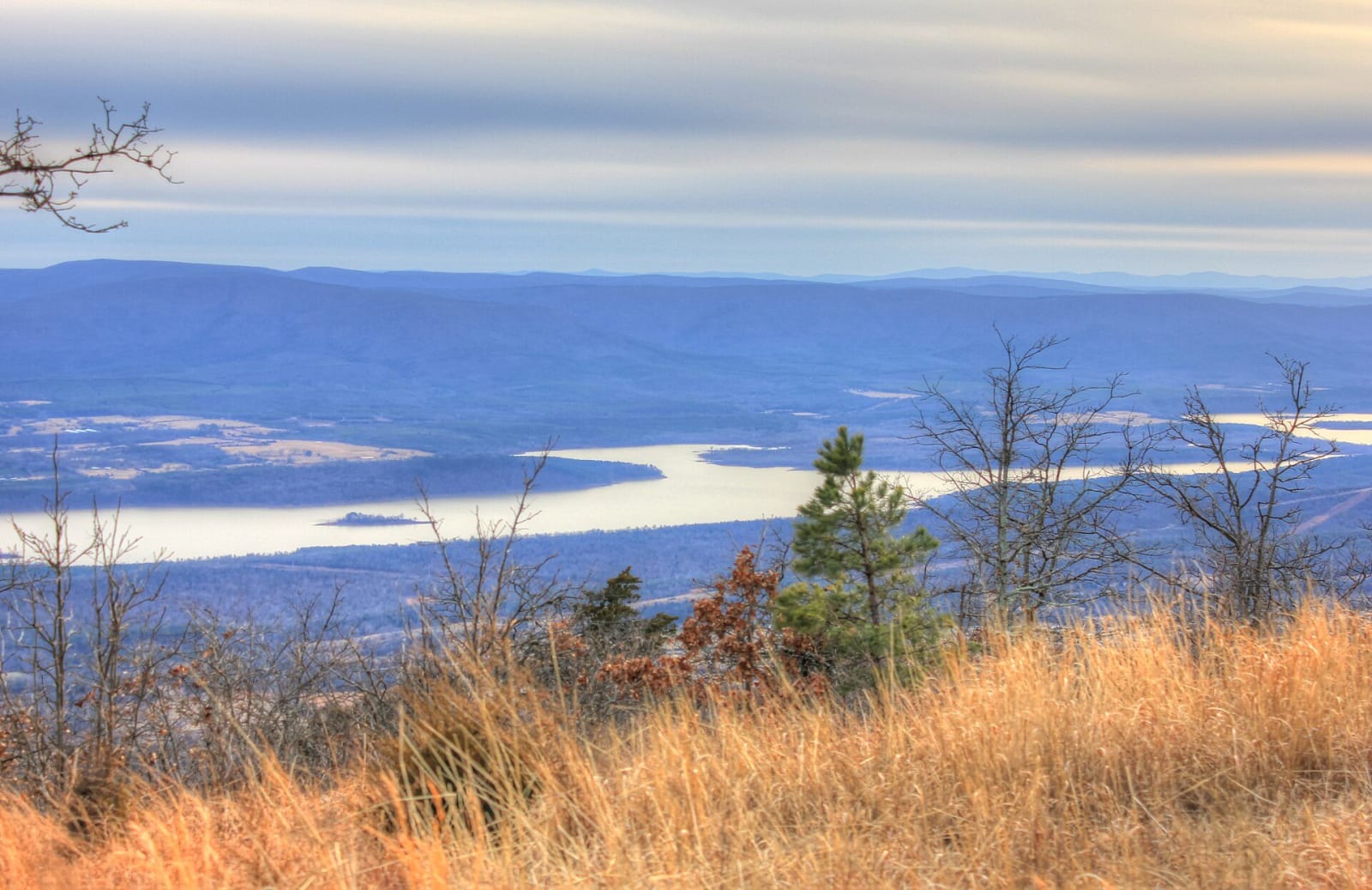
View from Mount Magazine over dry grass and bare trees to a lake and ridges in the Arkansas River ValleyYinan Chen (public domain), via Wikimedia Commons
🌲Natural

Mount Magazine State Park

Part ofFort Smith & the Arkansas River Valley

Arkansas's highest point at 2,753 feet: a sandstone-rimmed plateau above the river valley with a lodge, overlooks and hang-glider launches.

⏱
Duration
Half a day to a weekend.
🎟
Admission
No park entry fee is listed; lodging, cabins and campsites are charged.
📅
Best Season
Spring through fall; the park visitor center is open daily 8 a.m. to 5 p.m. and closed New Year's Day, Thanksgiving, Christmas Eve and Christmas (state parks site, November 2026).

The Story

Mount Magazine is a plateau that rises roughly 2,200 feet out of the Arkansas River Valley, and its Signal Hill is the highest point in Arkansas at 2,753 feet. Native people did not live on the mountain year-round, but six Archaic sites dating from 9,500 to 650 BC have been recorded there, and a bluff shelter near the top held Woodland and Mississippian pottery and stone points made from Ozark and Ouachita rock, which shows trade on both sides of the mountain.

White settlers came in the mid-nineteenth century. In 1900 the town of Magazine was platted on the summit, and hotels opened for tourists. The town foundered in the Depression. In 1934 the Resettlement Administration bought the mountain and handed it to the Forest Service, and the Works Progress Administration began a gravel road over it from Paris to Havana; the engineer in charge, James W. Hardy, is buried near it. The Civilian Conservation Corps added a lodge, restaurant and cabins between 1938 and 1941, but the lodge burned in 1971. The state park opened in 2001, though the Forest Service still owns the land.

The summit is cooler than the valleys, and its rocky slopes shelter the threatened Magazine Mountain shagreen snail. Ninety-four of Arkansas's 134 butterfly species have been found here. The park's visitor center is on the mountain, and a sixty-room lodge on the south bluff looks toward Blue Mountain Lake.

Visitor Info

⏱
Time Needed
Half a day to a weekend.
🎟
Admission
No park entry fee is listed; lodging, cabins and campsites are charged.
📅
Best Season
Spring through fall; the park visitor center is open daily 8 a.m. to 5 p.m. and closed New Year's Day, Thanksgiving, Christmas Eve and Christmas (state parks site, November 2026).
🛣️
Highway
AR 309

On the Map

Nearby

The closest stops worth working into your route

cultural8.5 mi away
Subiaco Abbey
A Benedictine monastery on a hilltop in Logan County, founded in 1878 for German-speaking Catholic settlers, with a 1959 abbey church and a boarding school for boys.
recreational21 mi away
Mount Nebo State Park
Arkansas's second state park, on a flat-topped mesa above Dardanelle: a Victorian summer town, a town run by women in 1924, CCC cabins and a Trail of Tears view.
culinary21 mi away
Wiederkehr Wine Cellars
The oldest operating winery in Arkansas, begun in 1880 in a hand-dug cellar on St. Mary's Mountain by a Swiss shoemaker, in the village that grew around it.
recreational25 mi away
Lake Dardanelle State Park
A park on a 34,300-acre Arkansas River reservoir at Russellville, with aquarium exhibits and the story of the Norristown ferry crossing used in the removal of five nations.
natural30 mi away
Holla Bend National Wildlife Refuge
A 7,000-acre refuge on an island of former farmland made when the Corps cut off a bend of the Arkansas River in 1954, with winter ducks, geese and eagles and a 14-mile auto tour.
recreational40 mi away
Petit Jean State Park
Arkansas's first state park, founded in 1923, with a Civilian Conservation Corps lodge, Cedar Falls and a Trail of Tears overlook on a canyon-cut mountain.