 Tim Evanson / CC BY-SA 2.0 via Wikimedia Commons
The Story
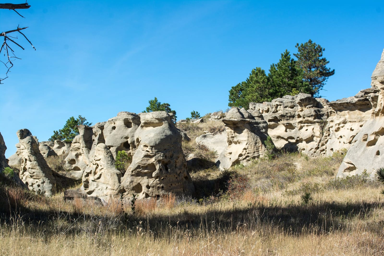
The Lakota name, Inyan oka-lo-ka, means rock with a hole in it, and it is exactly right. The park is a cluster of soft sandstone towers, some sixty to eighty feet high, that wind and weather have worn into arches, caves, tunnels and holes until they look like Swiss cheese. Lakota, Cheyenne and other peoples held the place holy and used it for vision quests, as a meeting ground, and as a lookout for bison and for enemies; the Cheyenne stopped here on their way between the Yellowstone Valley and the Black Hills. Theodore Roosevelt rode through in 1883 as a young rancher and wrote that it was as fantastically beautiful a place as he had ever seen.
Nearly everyone who came after left a mark in the stone. Trappers and traders in the early 1800s, gold seekers after 1862, and then cowboys, ranchers, homesteaders, laborers and picnickers carved initials, names, dates and pictures into the soft walls, until the rocks became a register of who passed this way, some of the names tied to events far beyond Carter County. The Carter County Museum in Ekalaka keeps a list of them. Do not add to it; the rocks are a state park and on the National Register.
Part of the ground was private until the 1930s, when Carter County took it for unpaid taxes and kept it as a picnic place for Ekalaka and the ranches around; the county turned it over to the state in 1957. It is a primitive park now, pack it in and pack it out, with a dozen first-come campsites among the towers, north of Ekalaka on Montana 7.
Visitor Info
On the Map
Nearby
The closest stops worth working into your route