Home / Kentucky / Paducah & Land Between the Lakes / Elk & Bison Prairie
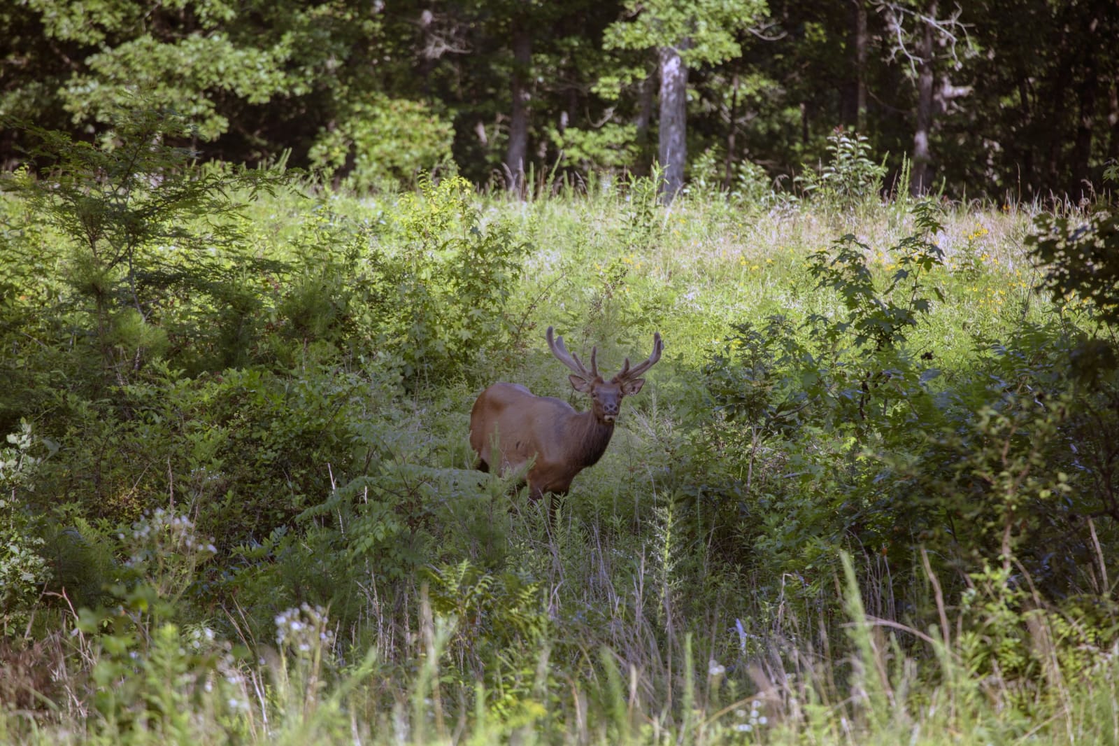
A bull elk with a full rack of antlers stands in tall summer grass and wildflowers at the edge of a hardwood forest.Carol M. Highsmith / public domain via Library of Congress
🌲Natural

Elk & Bison Prairie

Part ofPaducah & Land Between the Lakes

A 700-acre restored grassland in Land Between the Lakes where elk and bison roam inside a fence, seen from a 3.5-mile paved loop.

⏱
Duration
Thirty minutes to an hour for the loop.
🎟
Admission
$5 per vehicle (2026).
📅
Best Season
Year round, sunrise to sunset. Early morning and evening are best, especially in summer.

The Story

This is a native grassland of the kind that was common in Kentucky more than a century ago, and it had to be made again. Work began in the 1970s with prescribed burns to push back the woods. Elk from Elk Island National Park in Alberta and American bison were then turned out on the restored ground, and the 700-acre enclosure was formally opened in 1996.

You see it from a car. A 3.5-mile paved loop runs through tallgrass, open meadow and the edge of the woods, and only enclosed vehicles are allowed: no walkers, bicycles or motorcycles, for the safety of both visitors and the animals. Drive slowly and stop often. The herds move across the enclosure through the day, and a second pass on the loop often finds what the first one missed.

The prairie is about more than the two big animals. Wild turkeys, songbirds, small mammals and butterflies use the grass, and the plant list changes with the season, from spring green to the tan and rust of late fall. The best times are the cool ends of the day, when animals come out of the shade. The entrance sits on The Trace a short way north of the Golden Pond Visitor Center, so the two make an easy pair, and the loop can be driven again on the way back south.

Visitor Info

⏱
Time Needed
Thirty minutes to an hour for the loop.
🎟
Admission
$5 per vehicle (2026).
📅
Best Season
Year round, sunrise to sunset. Early morning and evening are best, especially in summer.
🛣️
Highway
The Trace (KY 453)

On the Map

Nearby

The closest stops worth working into your route

historical0.4 mi away
Golden Pond Visitor Center
The hub of Land Between the Lakes, near the site of Golden Pond, a town TVA cleared in the 1960s with the farms and hamlets of Between the Rivers.
industrial11 mi away
Great Western Furnace
A limestone iron furnace built in 1854 at the Tennessee end of Land Between the Lakes, run with enslaved labor and closed within two years, the last real trace of the town of Model.
natural16 mi away
Clarks River National Wildlife Refuge
Bottomland hardwood swamp along the East Fork of the Clarks River near Benton, a refuge since 1997 for waterfowl and migrating songbirds.
industrial20 mi away
Kentucky Dam
TVA's longest dam, closed in 1944 near the mouth of the Tennessee River, and the lake that moved 2,609 families and drowned Birmingham, Kentucky.
historical24 mi away
Fort Donelson National Battlefield
The earthen fort above the Cumberland River where Grant's demand for unconditional surrender ended the February 1862 siege, with the Dover Hotel, a national cemetery and the story of the freedom seekers who came to the lines.
recreational24 mi away
Paris Landing State Park
A Kentucky Lake state park on the site of a Tennessee River steamboat landing, created after the 1944 TVA dam drowned a sulphur-spring resort.

Historical markers nearby

Roadside plaques and monuments within a short detour

Marker4.1 mi away
Cherokee State Park
Aurora
Marker9.5 mi away
Fulton Furnace
Golden Pond
Marker11 mi away
Stacker Furnace
Linton
Marker11 mi away
Trigg Furnace
Rockcastle
Marker11 mi away
Inundated Site
Fairdealing
Marker11 mi away
Center Furnace
Golden Pond