Home / North Carolina / Wilmington & the Cape Fear / Brunswick Town / Fort Anderson State Historic Site
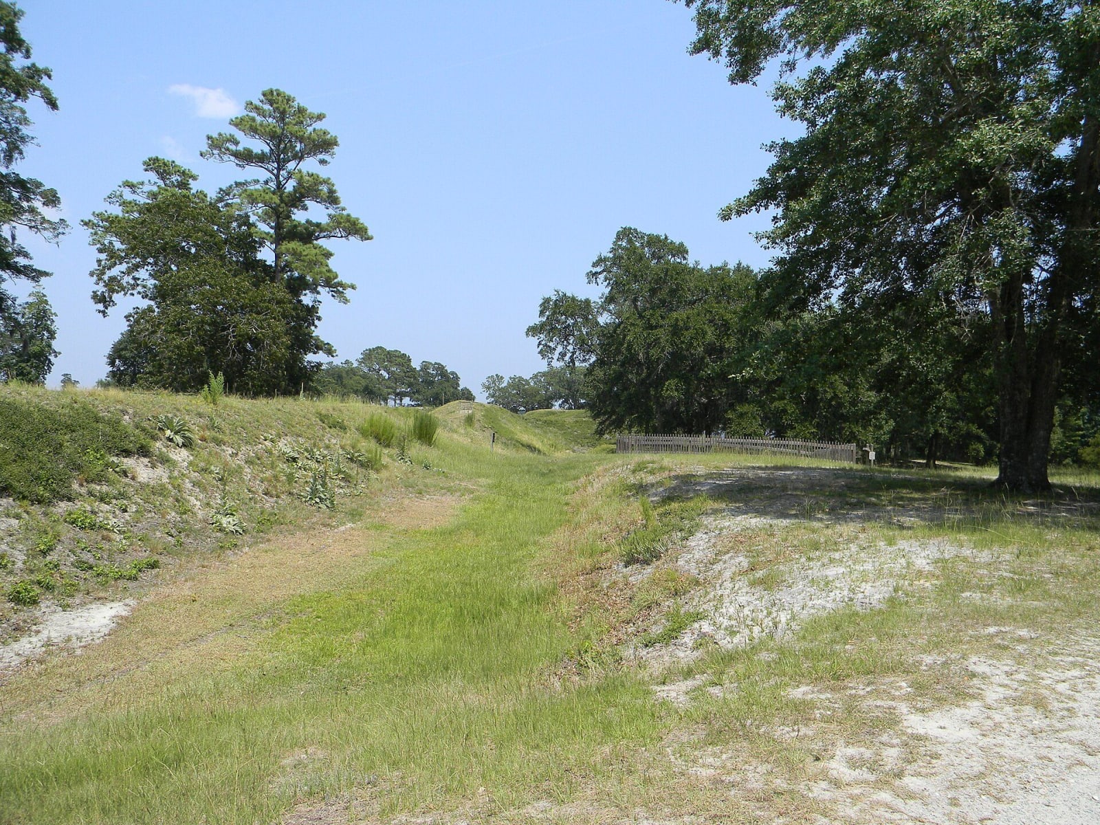
Grassy sand earthworks with a trench running between them under pines and live oaks on a clear day.Upstateherd / CC BY-SA 4.0 via Wikimedia Commons
🏛️Historical

Brunswick Town / Fort Anderson State Historic Site

Part ofWilmington & the Cape Fear

The excavated foundations of a colonial Cape Fear port burned in 1776, St. Philip's church walls, and the sand walls of Confederate Fort Anderson on the same bluff.

⏱
Duration
One to two hours.
🎟
Admission
Free (NC Historic Sites, 2026).
📅
Best Season
Year round; closed Sunday, Monday and state holidays (NC Historic Sites, 2026).

The Story

Maurice Moore founded Brunswick in 1726 on a bluff above the Cape Fear and named it for George I, who was also duke of Brunswick. Its wharves shipped tar, pitch and turpentine from the longleaf pine, the naval stores of the Royal Navy's wooden ships, and with royal governors Arthur Dobbs and William Tryon living here it was the colony's working capital. Townspeople beat off a Spanish attack in 1748. In 1765 colonists here challenged the Crown's right to distribute the tax stamps and halted collection of the tax on the Cape Fear, eight years before the Boston Tea Party.

Wilmington drained the town. British troops came ashore in March and again in May 1776, much of what was left was burned, and Brunswick was never rebuilt; in 1842 the ruins became part of Orton Plantation. In 1861 Confederates threw up a large sand fort on the bluff, first called Fort St. Philip and later Fort Anderson. In February 1865 Union forces attacked by land and river; after three days of shelling the garrison slipped away at night, and at first light Union gunboats fired on their own infantry climbing the walls until the soldiers waved sheets and blankets.

Lawrence Lee and archaeologist Stanley South uncovered the town from the late 1950s. A trail leads past the walls of St. Philip's Anglican Church, begun in 1754, the foundation of Russellborough, the governors' house, and the fort's earthworks. A cannon raised from the river in 1986, thought to be from a Spanish ship that blew up in that attack, is in the visitor center.

Visitor Info

⏱
Time Needed
One to two hours.
🎟
Admission
Free (NC Historic Sites, 2026).
📅
Best Season
Year round; closed Sunday, Monday and state holidays (NC Historic Sites, 2026).
🛣️
Highway
NC 133

On the Map

Nearby

The closest stops worth working into your route

historical5.1 mi away
Fort Fisher State Historic Site
The surviving land face of the largest Confederate earthwork, built with Black labor and taken in January 1865 by an assault that included the 27th U.S. Colored Troops.
historical12 mi away
Old Baldy Lighthouse
North Carolina's oldest standing lighthouse, an 1817 octagonal brick tower on Bald Head Island at the mouth of the Cape Fear, reached by ferry from Southport.
historical13 mi away
Gregory Congregational Church
The church of a freedpeople's school at Third and Nun streets, where Wilmington's Black students gathered in 1971 and the Wilmington Ten case began.
historical14 mi away
Bellamy Mansion Museum
A 1859-61 Market Street mansion built by enslaved and free Black craftsmen, with one of the best-preserved urban slave quarters in the country behind it.
historical14 mi away
1898 Memorial Park
Six bronze paddles on North Third Street for the Black Wilmingtonians killed on November 10, 1898, in the coup that overthrew the city's elected government.
natural20 mi away
Green Swamp Preserve
Nature Conservancy longleaf savannas in the Green Swamp, kept open by fire, with wild Venus flytraps, pitcher plants, sundews and orchids.

Historical markers nearby

Roadside plaques and monuments within a short detour

Marker0.1 mi away
John LaPierre
Winnabow
Marker1.7 mi away
Orton Plantation
Winnabow
Marker1.9 mi away
Alfred Moore
Winnabow
Marker1.9 mi away
St. Philips Church
Winnabow
Marker1.9 mi away
Stamp Act
Winnabow
Marker2.1 mi away
Spanish Attack
Winnabow