 National Park Service / public domain via Wikimedia Commons
The Story
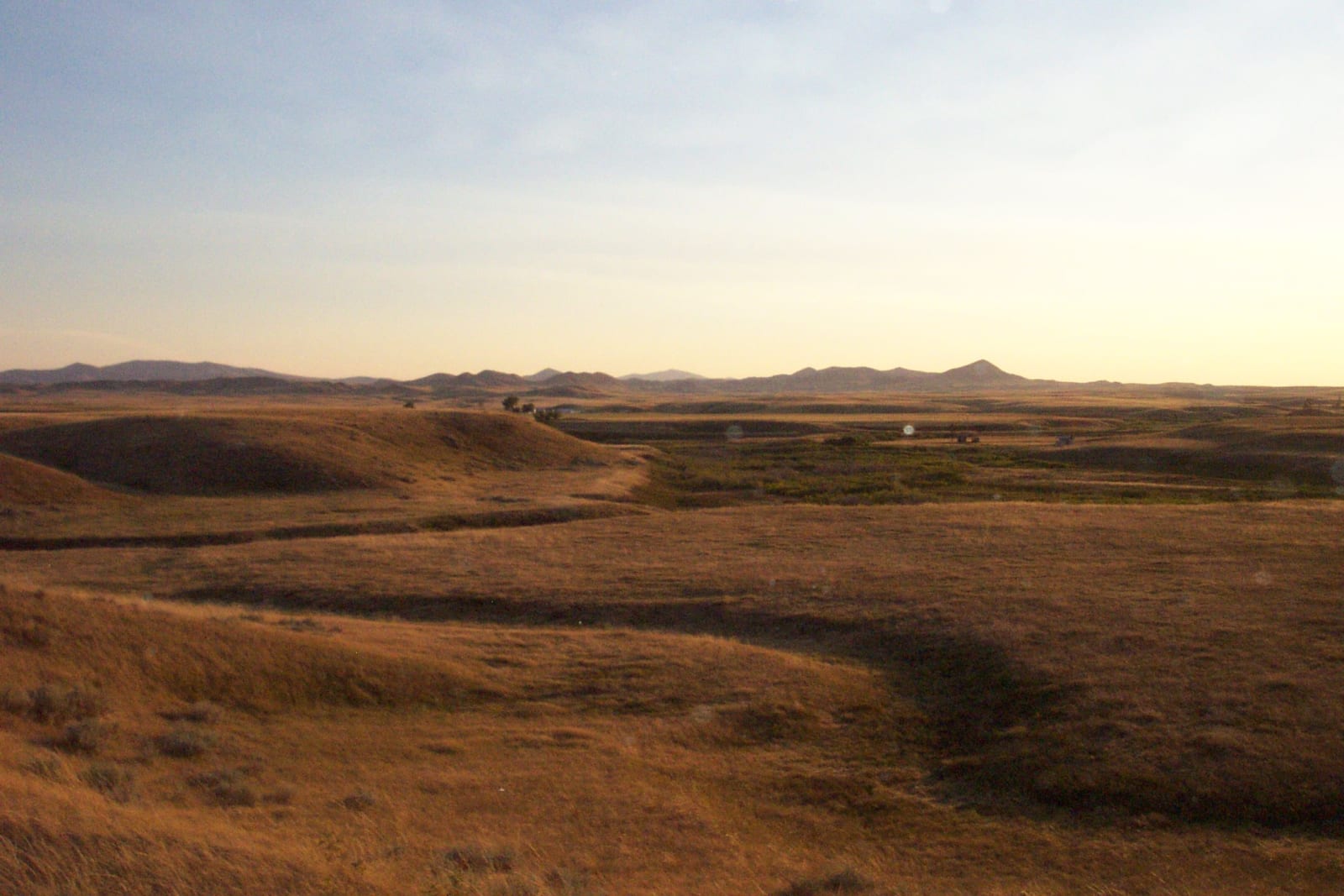
The battlefield is a shallow bowl along Snake Creek, sixteen miles south of Chinook. For five days in 1877 the Nimiipuu dug shelters into the creek bottom for the old people and children while Colonel Nelson Miles's command dropped explosive shells among them. When it ended, Joseph's answer did not cross to the soldiers from his own mouth. Two Nez Perce men riding with the Army, Captain John and Old George, carried it back and gave it through an interpreter, Arthur Chapman, and Lieutenant Charles Erskine Scott Wood, General Oliver Howard's adjutant, took it down in pencil. The Park Service's own historian allows that it may have been paraphrased on the way. Harper's Weekly printed it that November, and "I will fight no more forever" has belonged to American memory ever since.
The surrender was made on a promise that the people would go home to Idaho in the spring. General William Tecumseh Sherman overruled it before the prisoners had reached the Tongue River, on the theory that they should be made an example to other tribes. They were taken down the Missouri to Bismarck and by train to Fort Leavenworth, where they spent the winter of 1877-78 in a camp beside the river while visitors came out from town to look at them, thousands on a single Sunday. In July 1878 they were moved to the Quapaw Agency in Indian Territory. By late September a Kansas paper counted forty dead and a hundred and sixty sick. The Nimiipuu called the place Eeikish Pah, the hot place. They were not allowed to leave it until 1885.
Congress withdrew the battlefield lands in 1928, and in 1992 the site became part of Nez Perce National Historical Park, the end of the trail that begins in the Wallowa country. The visitor center is the Blaine County Museum in Chinook. Since the centennial in 1977, the Nez Perce and the Park Service have held a commemoration on the Saturday nearest October 5, with a riderless horse and a pipe ceremony. Visitors are welcome; the pipe ceremony is not to be photographed.
Visitor Info
On the Map
Nearby
The closest stops worth working into your route