The River Road: Presidio to Big Bend on FM 170
About 74 miles on FM 170, El Camino del Rio, from Presidio past Fort Leaton and Redford through Big Bend Ranch State Park to Lajitas, Terlingua and the edge of Big Bend National Park.
The Route at a Glance
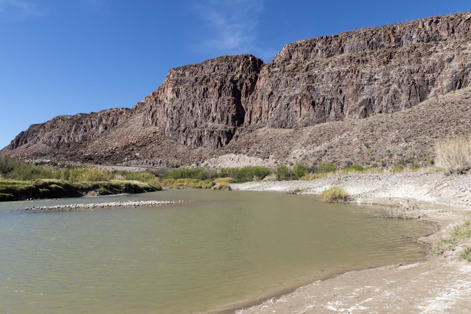
FM 170 follows the Rio Grande downstream from Presidio, close enough in places to look across a few yards of water into Mexico. Before it was paved it was known as Muerte del Burro, death of the burro. Work began after World War II, and the state finished the road in 1961 and named it El Camino del Rio, the winning entry in a local school contest. This drive runs about 74 miles, a little under two hours without stops, from Presidio to the western entrance of Big Bend National Park. Big Bend, Marfa & Alpine covers the country around it.
Presidio stands at La Junta de los Ríos, where the Rio Conchos comes in from Chihuahua, and farmers have worked the bottomland there since about 1500 B.C. The Kansas City, Mexico and Orient Railway reached the town in 1930. Four miles downriver, Fort Leaton stands on the ruins of an older Spanish fort and serves as the western entrance to Big Bend Ranch State Park. Redford, sixteen miles from Presidio, began about 1876 as El Polvo, the dust, and in 1979 Lucia Rede Madrid, a retired teacher descended from its first settlers, opened a library in her family's store there.
Past the Casa Piedra road the highway enters Big Bend Ranch State Park and turns mountainous, with sharp curves and steep grades. Colorado Canyon pulls it briefly away from the river. Closed Canyon is a quarter-mile walk from a dirt lot, with about half a mile of smooth canyon floor before an eight-foot pour-off ends the way; slot canyons flood fast, so skip it if rain threatens. Big Hill, La Cuesta, climbs at a 15 percent grade, hard on trucks and RVs, with a teepee picnic area at its foot and a view from the top to the river some 600 feet below. The low-water crossings on FM 170 can run deep after storms, and TxDOT closes stretches of it when they do.
Lajitas, Spanish for little flat rocks, grew at the San Carlos ford on the old Comanche Trail, a smooth rock bottom that was the best crossing between Del Rio and El Paso, and Pershing's troops kept a cavalry post there in 1916. The Barton Warnock Visitor Center, the park's eastern entrance, is just past it. The road leaves the river for Terlingua, the old quicksilver town, and ends at TX-118 in Study Butte, three miles short of Big Bend National Park. Inside the park, the paved road from Cottonwood Campground to Santa Elena Canyon is closed until further notice after weather damage, so check the park's conditions page before planning on the canyon.
The Drive, Stop by Stop
4 stops along the route, in driving order from Presidio, Texas to Big Bend National Park west entrance, near Study Butte, Texas. One of them sits off the road itself — the distance is noted on each.
- 1
- 2
- 3
- 4
That's the drive. Take your time, pull over often, and let The River Road: Presidio to Big Bend on FM 170 do what it does best.
← Explore more of Open Road Guide