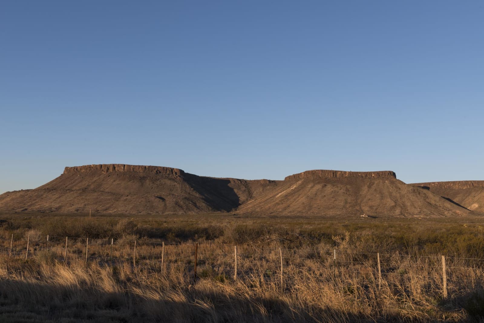
Alpine to Big Bend by Marathon and Persimmon Gap
About 120 miles from Alpine east on US-90 to Marathon, south on US-385 through Persimmon Gap to Panther Junction, and down to Rio Grande Village and the Boquillas crossing.
The Route at a Glance
This is the way into Big Bend National Park from the railroad towns. The drive runs about 120 miles, close to three hours without stops, from Alpine east to Marathon, then some seventy miles south to park headquarters at Panther Junction, and on to the river at the Boquillas crossing. Big Bend, Marfa & Alpine covers the country around it. Services are few, there is no electric vehicle charger in the park, and phone map apps can send drivers onto dangerous roads, so fill the tank and carry a paper map.
Alpine keeps the Museum of the Big Bend on the Sul Ross campus. US-90 follows the railroad east to Marathon, which its founder, Albion Shepard, a sea captain turned railroad surveyor, named for the plains of Marathon in Greece. The town became the shipping point for ranches in the Marathon basin and for the mines at Boquillas, and from 1907 it made rubber from guayule, a desert shrub; at its peak the Border Rubber Company employed some 250 men, and it ran on and off until 1926. US-385 leaves town south for the park.
The highway passes Double Mills, an old water hole on Maravillas Creek, and about forty miles from Marathon reaches Persimmon Gap, the park's northern entrance, a low pass through the Santiago Mountains. The road follows the line of the Comanche Trail through it. After the summer rains, by the full moon of September, Comanche riders came south through the gap toward Mexico, and the trail they wore was a mile wide in places. The Comanche Nation tells its own history at its museum in Lawton. The Persimmon Gap visitor center closes in summer.
The main park road runs 26 miles from the gap to Panther Junction, the headquarters, and the road up to the Chisos Basin turns off west of there. A closure of the basin to rebuild the lodge and water system, planned for May 2026, was called off that April, and the basin stays open, though its restaurant is closed and a food truck serves outside the lodge. From Panther Junction the road drops about twenty miles to Rio Grande Village, and a short spur leads to the Boquillas crossing, where visitors with passports cross by rowboat to the village. In late October 2026 the port was open Friday through Monday, 9 a.m. to 4 p.m.; check the park's conditions page before you go.
The Drive, Stop by Stop
4 stops along the route, in driving order from Alpine, Texas to Boquillas Crossing, Big Bend National Park, Texas. One of them sits off the road itself — the distance is noted on each.
- 1
- 2
- 3
- 4
That's the drive. Take your time, pull over often, and let Alpine to Big Bend by Marathon and Persimmon Gap do what it does best.
← Explore more of Open Road Guide