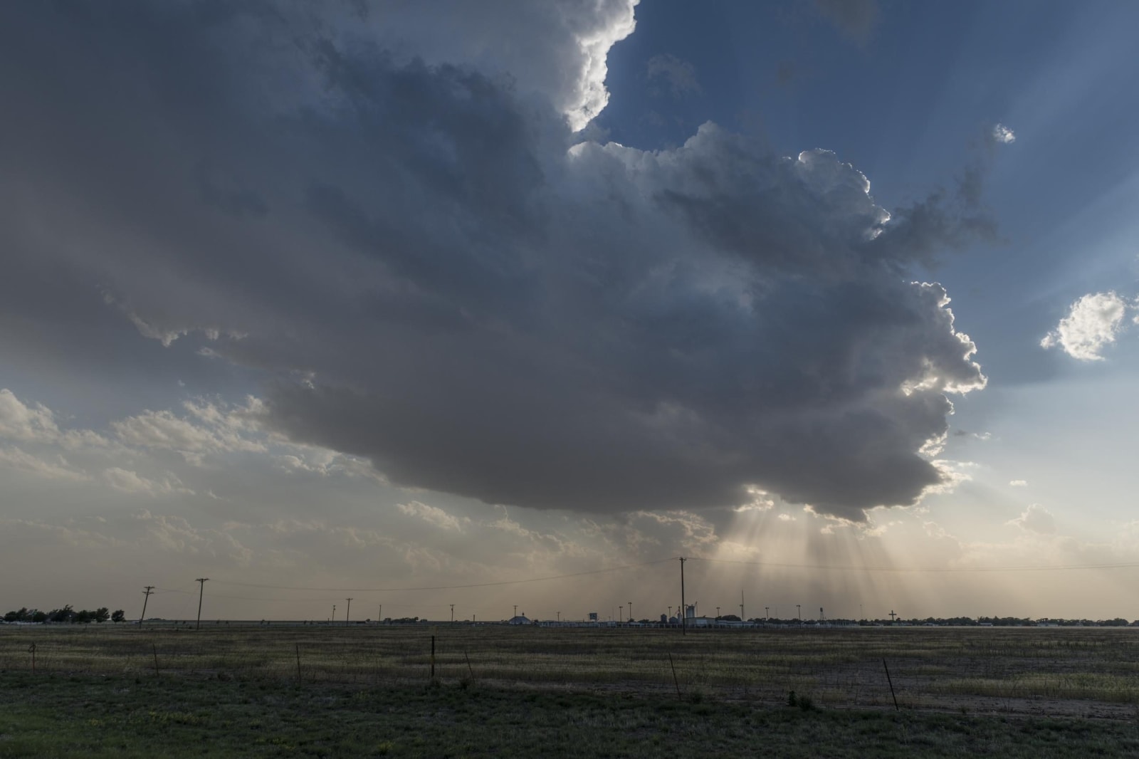
Amarillo & Route 66
Route 66 from Shamrock's U-Drop Inn to Glenrio, McLean's barbed wire museum, Amarillo's Sixth Street, Cadillac Ranch, Alibates flint and Old Tascosa.
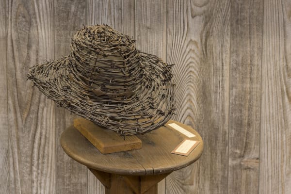
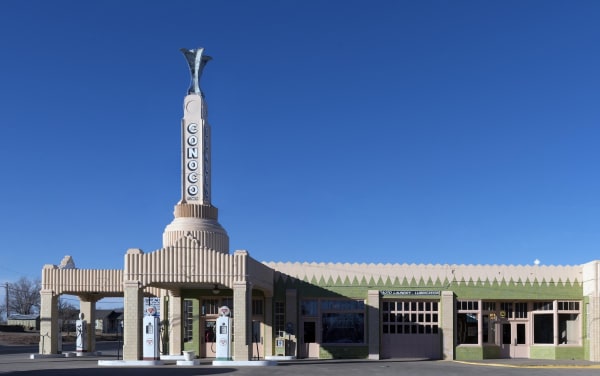
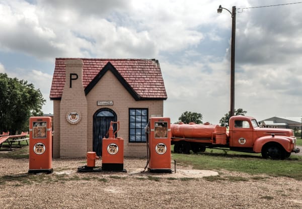
Route 66 crossed the Texas Panhandle for 179 miles, from the Oklahoma line near Texola to the New Mexico line at Glenrio, and it survives as business loops through the towns Interstate 40 bypassed. Shamrock has the 1936 Tower Station and U-Drop Inn at the US-83 junction. McLean, the last Texas town I-40 went around, keeps a 1929 Phillips 66 station and the Devil's Rope barbed wire museum in a former bra factory. Then come Groom, Conway, Amarillo, Vega, Adrian, which claims the road's midpoint, and Glenrio on the state line.
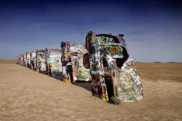
Amarillo, the only city on the Texas road, began in 1887 as a cattle-shipping town on the Fort Worth and Denver City Railway. The best-kept stretch of 66 in town is Sixth Street, thirteen blocks of filling stations, shops and the 1922 Natatorium. West of town, ten Cadillacs stand nose down in a field, art on private land that is left open to visitors.
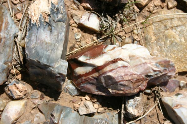
North of the interstate the Canadian River cuts its breaks. At Alibates, people quarried banded flint for thousands of years, and rangers lead walks to the pits. Upriver, Old Tascosa was the cowtown at the river ford. In the east, Mobeetie grew beside Fort Elliott, the post the army built in 1875, after the Red River War had forced the Comanche, Kiowa and Cheyenne onto reservations in Indian Territory.
What to See in Amarillo & Route 66
16 places across the region, grouped by what they are.
Historic Sites
Towns & Gateways
Architecture
Industry & Mining
Roadside Stops
Attractions
Amarillo & Route 66 rewards the unhurried. Pick a base, fan out, and let the country between the headline stops surprise you.
← Explore more of Open Road Guide